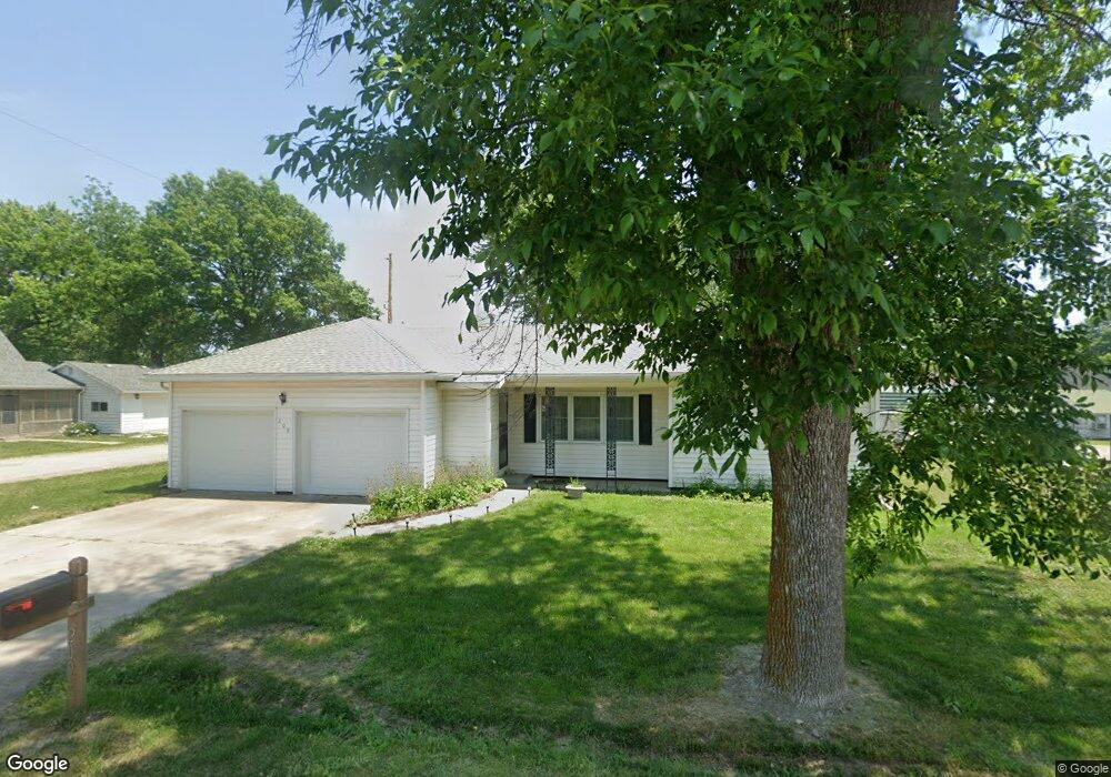
209 N Locust St Jamesport, MO 64648
Estimated Value: $96,000 - $151,000
--
Bed
--
Bath
1,230
Sq Ft
$94/Sq Ft
Est. Value
About This Home
This home is located at 209 N Locust St, Jamesport, MO 64648 and is currently estimated at $116,143, approximately $94 per square foot. 209 N Locust St is a home with nearby schools including Tri-County Elementary School, Tri-County High School, and Oak Grove.
Ownership History
Date
Name
Owned For
Owner Type
Purchase Details
Closed on
Oct 21, 2022
Sold by
Lawyer Helen
Bought by
Hobbs Jessica S
Current Estimated Value
Home Financials for this Owner
Home Financials are based on the most recent Mortgage that was taken out on this home.
Original Mortgage
$90,909
Outstanding Balance
$87,389
Interest Rate
5.89%
Mortgage Type
New Conventional
Estimated Equity
$28,754
Purchase Details
Closed on
Jun 10, 2009
Sold by
Loyd Gary C and Loyd Neva
Bought by
Lawyer Helen
Create a Home Valuation Report for This Property
The Home Valuation Report is an in-depth analysis detailing your home's value as well as a comparison with similar homes in the area
Home Values in the Area
Average Home Value in this Area
Purchase History
| Date | Buyer | Sale Price | Title Company |
|---|---|---|---|
| Hobbs Jessica S | -- | Daviess County Land Title | |
| Lawyer Helen | -- | -- |
Source: Public Records
Mortgage History
| Date | Status | Borrower | Loan Amount |
|---|---|---|---|
| Open | Hobbs Jessica S | $90,909 |
Source: Public Records
Tax History Compared to Growth
Tax History
| Year | Tax Paid | Tax Assessment Tax Assessment Total Assessment is a certain percentage of the fair market value that is determined by local assessors to be the total taxable value of land and additions on the property. | Land | Improvement |
|---|---|---|---|---|
| 2024 | $722 | $9,468 | $397 | $9,071 |
| 2023 | $713 | $9,468 | $397 | $9,071 |
| 2022 | $712 | $9,468 | $397 | $9,071 |
| 2021 | $684 | $9,468 | $397 | $9,071 |
| 2020 | $704 | $9,468 | $397 | $9,071 |
| 2019 | $687 | $9,468 | $397 | $9,071 |
| 2018 | $680 | $9,468 | $397 | $9,071 |
| 2017 | $651 | $9,468 | $397 | $9,071 |
| 2016 | -- | $9,468 | $397 | $9,071 |
| 2011 | -- | $9,212 | $0 | $0 |
Source: Public Records
Map
Nearby Homes
- 106 E Main St
- 204 W Charles St
- 110 Kentucky
- 704 S Broadway N A
- 801 W Edmond St
- 0000 July Ave
- 24001 Nickel Ave
- TBD State Road V
- 3144 Highway A
- TBD State Highway V
- 0 Quartz and Elm St Unit HMS2584347
- 24984 P Hwy
- 0 250th St
- 22681 Missouri 13
- 250th St
- 0 SW 52nd Ave
- 0 SW 52nd Ave Unit Lot WP004 24524850
- 18680 State Road Uu
- 0 SW 30th Ave
- 8518 LIV 503
- 201 N Locust St
- 301 N Locust St
- 208 N Locust St
- 305 E Gillilan Rd
- 300 N Locust St
- 305 N Locust St
- 309 E Gillilan Rd
- 209 E Gillilan Rd
- 307 N Locust St
- 308 N Locust St
- 309 N Locust St
- 209 N Olive St
- 109 N Locust St
- 308 E Gillilan Rd
- 401 E Gillilan Rd
- 307 N Grant St
- 108 N Locust St
- 109 N Grant St
- 400 E Gillilan Rd
- 402 N Locust St