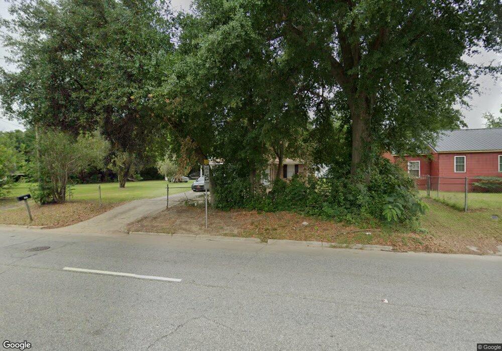
209 N Mock Rd Albany, GA 31705
Estimated Value: $55,000 - $88,000
3
Beds
2
Baths
1,539
Sq Ft
$46/Sq Ft
Est. Value
About This Home
This home is located at 209 N Mock Rd, Albany, GA 31705 and is currently estimated at $70,095, approximately $45 per square foot. 209 N Mock Rd is a home located in Dougherty County with nearby schools including Turner Elementary School, Albany Middle School, and Radium Springs Middle School.
Ownership History
Date
Name
Owned For
Owner Type
Purchase Details
Closed on
May 15, 2024
Sold by
Ecijan Joycelyn
Bought by
Laye Lawrence C and Laye Maria
Current Estimated Value
Purchase Details
Closed on
May 1, 2024
Sold by
Powell Buchannon Marsharine
Bought by
Buchannon Angela Renae
Purchase Details
Closed on
Jun 4, 2001
Sold by
Ecijan Samuel E
Bought by
Ecijan Samuel E and Ecijan Joycelyn
Purchase Details
Closed on
Jun 11, 1998
Sold by
Ramos Romeo C
Bought by
Ecijan Samuel E
Purchase Details
Closed on
Sep 23, 1977
Sold by
Pye W E
Bought by
Ramos Romeo
Create a Home Valuation Report for This Property
The Home Valuation Report is an in-depth analysis detailing your home's value as well as a comparison with similar homes in the area
Home Values in the Area
Average Home Value in this Area
Purchase History
| Date | Buyer | Sale Price | Title Company |
|---|---|---|---|
| Laye Lawrence C | $50,000 | -- | |
| Buchannon Angela Renae | -- | -- | |
| Dunnum Rose Gilmore | -- | -- | |
| Ecijan Joycelyn A | -- | -- | |
| Ecijan Samuel E | $41,000 | -- | |
| Ecijan Samuel E | $40,000 | -- | |
| Ramos Romeo | -- | -- |
Source: Public Records
Tax History Compared to Growth
Tax History
| Year | Tax Paid | Tax Assessment Tax Assessment Total Assessment is a certain percentage of the fair market value that is determined by local assessors to be the total taxable value of land and additions on the property. | Land | Improvement |
|---|---|---|---|---|
| 2024 | $1,328 | $27,840 | $1,880 | $25,960 |
| 2023 | $1,297 | $27,840 | $1,880 | $25,960 |
| 2022 | $1,302 | $27,840 | $1,880 | $25,960 |
| 2021 | $1,207 | $27,840 | $1,880 | $25,960 |
| 2020 | $1,210 | $27,840 | $1,880 | $25,960 |
| 2019 | $1,214 | $27,840 | $1,880 | $25,960 |
| 2018 | $1,220 | $27,840 | $1,880 | $25,960 |
| 2017 | $1,136 | $27,840 | $1,880 | $25,960 |
| 2016 | $1,137 | $27,840 | $1,880 | $25,960 |
| 2015 | $1,140 | $27,840 | $1,880 | $25,960 |
| 2014 | $1,126 | $27,840 | $1,880 | $25,960 |
Source: Public Records
Map
Nearby Homes
- 306 Elsom St
- 307 Acorn St
- 234 Cone St
- 309 Acorn St
- 2215 E Broad Ave
- 2523 Cherokee Dr
- 308 Forrestal Ln
- 410 Johnson Rd
- 119 N West Rd
- 2725 Yorktown Ave
- 513 Johnson Rd
- 148 Force Dr
- 1532 E Broad Ave
- 2802 Banks Ave
- 405 Pine Bluff Rd
- 3007 E Park Ct
- 410 Cason St
- 1418 E Roosevelt Ave
- 1410 E Roosevelt Ave
- 608 Cason St