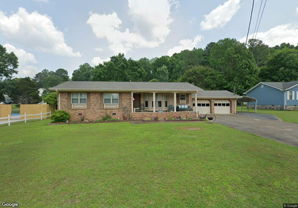
209 Overbrook Dr Rossville, GA 30741
Estimated Value: $230,000 - $282,948
--
Bed
2
Baths
1,846
Sq Ft
$134/Sq Ft
Est. Value
About This Home
This home is located at 209 Overbrook Dr, Rossville, GA 30741 and is currently estimated at $247,737, approximately $134 per square foot. 209 Overbrook Dr is a home located in Walker County with nearby schools including Stone Creek Elementary School, Rossville Middle School, and Ridgeland High School.
Ownership History
Date
Name
Owned For
Owner Type
Purchase Details
Closed on
May 5, 2025
Sold by
Shrader Connie Sue
Bought by
Parson Michael David and Parson Stacy L
Current Estimated Value
Purchase Details
Closed on
Apr 22, 1994
Sold by
Broyles William T and Broyles Donna
Bought by
Shrader Henry E and Shrader Connie S
Purchase Details
Closed on
Apr 4, 1986
Sold by
Baker & Summers Const Co Inc
Bought by
Broyles William T and Broyles Donna
Purchase Details
Closed on
Mar 29, 1985
Sold by
Brown Burton
Bought by
Baker & Summers Const Co Inc
Purchase Details
Closed on
Jan 1, 1972
Bought by
Brown Burton
Create a Home Valuation Report for This Property
The Home Valuation Report is an in-depth analysis detailing your home's value as well as a comparison with similar homes in the area
Home Values in the Area
Average Home Value in this Area
Purchase History
| Date | Buyer | Sale Price | Title Company |
|---|---|---|---|
| Parson Michael David | $225,000 | -- | |
| Shrader Henry E | $89,500 | -- | |
| Broyles William T | $65,500 | -- | |
| Baker & Summers Const Co Inc | -- | -- | |
| Brown Burton | -- | -- |
Source: Public Records
Tax History Compared to Growth
Tax History
| Year | Tax Paid | Tax Assessment Tax Assessment Total Assessment is a certain percentage of the fair market value that is determined by local assessors to be the total taxable value of land and additions on the property. | Land | Improvement |
|---|---|---|---|---|
| 2024 | $1,555 | $102,727 | $7,800 | $94,927 |
| 2023 | $1,499 | $98,047 | $7,800 | $90,247 |
| 2022 | $1,318 | $86,066 | $7,800 | $78,266 |
| 2021 | $1,008 | $67,843 | $4,368 | $63,475 |
| 2020 | $745 | $55,574 | $4,368 | $51,206 |
| 2019 | $651 | $49,534 | $4,368 | $45,166 |
| 2018 | $1,311 | $49,534 | $4,368 | $45,166 |
| 2017 | $1,288 | $49,534 | $4,368 | $45,166 |
| 2016 | $1,293 | $49,534 | $4,368 | $45,166 |
| 2015 | $1,497 | $54,585 | $8,000 | $46,585 |
| 2014 | $1,391 | $54,546 | $8,000 | $46,546 |
| 2013 | $1,311 | $54,546 | $8,000 | $46,546 |
Source: Public Records
Map
Nearby Homes
- 213 Overbrook Dr
- 124 Overbrook Dr
- 252 Overbrook Dr
- 21 Saddle St
- 55 Saddlebred Way
- Davidson Plan at The Stables
- Primrose Plan at The Stables
- Whitman Plan at The Stables
- Aspen Plan at The Stables
- 2937 Happy Valley Rd
- 132 Saddlebred Way
- 163 Saddlebred Way
- 115 Saddlebred Way
- 114 Saddlebred Way
- 100 Saddlebred Way
- 0 Sunset Cir Unit 1520989
- 0 Sunset Cir Unit 1517664
- 99 Draft St
- 205 Overbrook Dr
- 349 Morning Side Dr
- 212 Overbrook Dr
- 353 Morning Side Dr
- 214 Overbrook Dr
- 201 Overbrook Dr
- 217 Overbrook Dr
- 216 Overbrook Dr
- 345 Morning Side Dr
- 220 Overbrook Dr
- 344 Morning Side Dr
- 341 Morning Side Dr
- 140 Overbrook Dr
- 133 Overbrook Dr
- 340 Morning Side Dr
- 211 Glenridge Place
- 209 Glenridge Place Unit 3
- 209 Glenridge Place
- 225 Overbrook Dr
- 224 Overbrook Dr