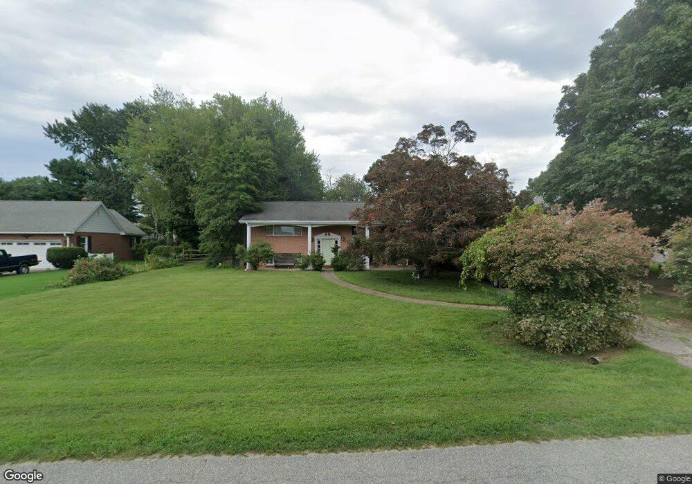
209 Queen Anne Club Dr Stevensville, MD 21666
Estimated Value: $485,153 - $865,000
--
Bed
2
Baths
1,305
Sq Ft
$462/Sq Ft
Est. Value
About This Home
This home is located at 209 Queen Anne Club Dr, Stevensville, MD 21666 and is currently estimated at $603,288, approximately $462 per square foot. 209 Queen Anne Club Dr is a home located in Queen Anne's County with nearby schools including Matapeake Elementary School, Matapeake Middle School, and Kent Island High School.
Ownership History
Date
Name
Owned For
Owner Type
Purchase Details
Closed on
Jun 2, 1983
Sold by
Brien Richard T
Bought by
Mcwilliams Steven K and Mcwilliams Joan I
Current Estimated Value
Home Financials for this Owner
Home Financials are based on the most recent Mortgage that was taken out on this home.
Original Mortgage
$81,100
Interest Rate
12.68%
Create a Home Valuation Report for This Property
The Home Valuation Report is an in-depth analysis detailing your home's value as well as a comparison with similar homes in the area
Home Values in the Area
Average Home Value in this Area
Purchase History
| Date | Buyer | Sale Price | Title Company |
|---|---|---|---|
| Mcwilliams Steven K | $85,400 | -- |
Source: Public Records
Mortgage History
| Date | Status | Borrower | Loan Amount |
|---|---|---|---|
| Closed | Mcwilliams Steven K | $81,100 |
Source: Public Records
Tax History Compared to Growth
Tax History
| Year | Tax Paid | Tax Assessment Tax Assessment Total Assessment is a certain percentage of the fair market value that is determined by local assessors to be the total taxable value of land and additions on the property. | Land | Improvement |
|---|---|---|---|---|
| 2025 | $4,032 | $432,700 | $0 | $0 |
| 2024 | $3,898 | $410,200 | $0 | $0 |
| 2023 | $3,652 | $387,700 | $219,200 | $168,500 |
| 2022 | $3,620 | $384,767 | $0 | $0 |
| 2021 | $3,381 | $381,833 | $0 | $0 |
| 2020 | $3,381 | $378,900 | $219,200 | $159,700 |
| 2019 | $3,212 | $351,067 | $0 | $0 |
| 2018 | $3,049 | $323,233 | $0 | $0 |
| 2017 | $2,893 | $295,400 | $0 | $0 |
| 2016 | -- | $285,033 | $0 | $0 |
| 2015 | $1,241 | $274,667 | $0 | $0 |
| 2014 | $1,241 | $264,300 | $0 | $0 |
Source: Public Records
Map
Nearby Homes
- 206 Columbia Ln
- 312 Queens Colony High Rd
- 227 Queen Anne Club Dr
- 511 Chesapeake Ave
- 303 Queens Colony High Rd
- 410 5 Farms Dr
- 303 Queen Anne Club Dr
- 0 Allen Ave
- 312 Columbia Ln
- 412 Five Farms Dr
- 114 Queens Colony High Rd
- 0 Reynolds Ave
- 116 Mallard Dr
- 122 Mallard Dr
- 321 Oregon Rd
- 101 Oak St
- 122 S Carolina Rd
- Lot 7 Maple Rd
- 116 Talbot Rd
- 0 Chesapeake Estates Dr
- 207 Queen Anne Club Drive Q
- 207Q Queen Anne Club Dr
- 207 Queen Anne Club Dr
- 211 Queen Anne Club Dr
- 207 Queen Anne Club Dr
- 205 Queen Anne Club Dr
- 213 Queen Anne Club Dr
- 208 Columbia Ln
- 204 Columbia Ln
- 208 Queen Anne Club Dr
- 202 Columbia Ln
- 210 Columbia Ln
- 203 Queen Anne Club Dr
- 215 Queen Anne Club Dr
- 212 Queen Anne Club Dr
- 202 Queen Anne Club Dr
- 201 Queen Anne Club Dr
- 214 Queen Anne Club Dr
- 403 Queens Colony High Rd
- 200 Queen Anne Club Dr