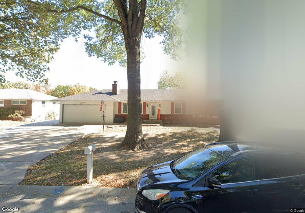
209 Rex Rd Liberty, MO 64068
Estimated Value: $236,000 - $315,000
4
Beds
3
Baths
1,164
Sq Ft
$240/Sq Ft
Est. Value
About This Home
This home is located at 209 Rex Rd, Liberty, MO 64068 and is currently estimated at $279,755, approximately $240 per square foot. 209 Rex Rd is a home located in Clay County with nearby schools including Alexander Doniphan Elementary School, Discovery Middle School, and Liberty High School.
Ownership History
Date
Name
Owned For
Owner Type
Purchase Details
Closed on
Aug 11, 2023
Sold by
Young Warren
Bought by
Pike Camberly and Young Warren
Current Estimated Value
Purchase Details
Closed on
Feb 11, 2016
Sold by
Wright Kelly and Wright Kelly S
Bought by
Young Warren E
Home Financials for this Owner
Home Financials are based on the most recent Mortgage that was taken out on this home.
Original Mortgage
$139,700
Interest Rate
3.97%
Mortgage Type
New Conventional
Purchase Details
Closed on
Jun 18, 2008
Sold by
Kissinger James G and Kissinger Karen M
Bought by
Young Warren E and Wright Kelly
Purchase Details
Closed on
Jan 12, 2006
Sold by
Reese Sandra J
Bought by
Kissinger James G and Kissinger Karen M
Home Financials for this Owner
Home Financials are based on the most recent Mortgage that was taken out on this home.
Original Mortgage
$117,000
Interest Rate
6.25%
Mortgage Type
Fannie Mae Freddie Mac
Create a Home Valuation Report for This Property
The Home Valuation Report is an in-depth analysis detailing your home's value as well as a comparison with similar homes in the area
Home Values in the Area
Average Home Value in this Area
Purchase History
We collect this data history from publicly available records. To have your information removed, we recommend requesting removal directly through your county’s website.
| Date | Buyer | Sale Price | Title Company |
|---|---|---|---|
| Pike Camberly | -- | None Listed On Document | |
| Young Warren E | -- | Truhome Title Solutions Llc | |
| Young Warren E | -- | None Available | |
| Kissinger James G | -- | Advantage Title Llc |
Source: Public Records
Mortgage History
We collect this data history from publicly available records. To have your information removed, we recommend requesting removal directly through your county’s website.
| Date | Status | Borrower | Loan Amount |
|---|---|---|---|
| Previous Owner | Young Warren E | $139,700 | |
| Previous Owner | Kissinger James G | $117,000 |
Source: Public Records
Tax History
| Year | Tax Paid | Tax Assessment Tax Assessment Total Assessment is a certain percentage of the fair market value that is determined by local assessors to be the total taxable value of land and additions on the property. | Land | Improvement |
|---|---|---|---|---|
| 2025 | $2,047 | $31,600 | -- | -- |
| 2024 | $2,047 | $27,720 | -- | -- |
| 2023 | $2,077 | $27,720 | $0 | $0 |
| 2022 | $1,969 | $25,990 | $0 | $0 |
| 2021 | $1,977 | $25,992 | $5,662 | $20,330 |
| 2020 | $2,074 | $25,730 | $0 | $0 |
| 2019 | $2,076 | $25,726 | $6,650 | $19,076 |
| 2018 | $1,873 | $22,800 | $0 | $0 |
| 2017 | $1,853 | $22,800 | $3,420 | $19,380 |
| 2016 | $1,853 | $22,800 | $3,420 | $19,380 |
| 2015 | $1,853 | $22,800 | $3,420 | $19,380 |
| 2014 | $1,857 | $22,800 | $3,420 | $19,380 |
Source: Public Records
Map
Nearby Homes
- 401 Smiley Rd
- 1561 Parkside Dr
- 1830 Parkside Dr
- 1712 Welleslay Ln
- 1550 Dover Ct
- 1500 Amesbury Ave
- 1617 Welleslay Ln
- 1768 Homestead Dr
- 1820 Homestead Dr
- 1784 Homestead Dr
- 1824 Homestead Dr
- 1836 Green Meadow Dr
- 1849 Arbor Trail
- 2149 Black Walnut Dr
- 1856 Arbor Trail
- 1975 Harvest Rd
- 2153 Black Walnut Dr
- 2152 Black Walnut Dr
- 2157 Black Walnut Dr
- 1916 Longview Dr
Your Personal Tour Guide
Ask me questions while you tour the home.