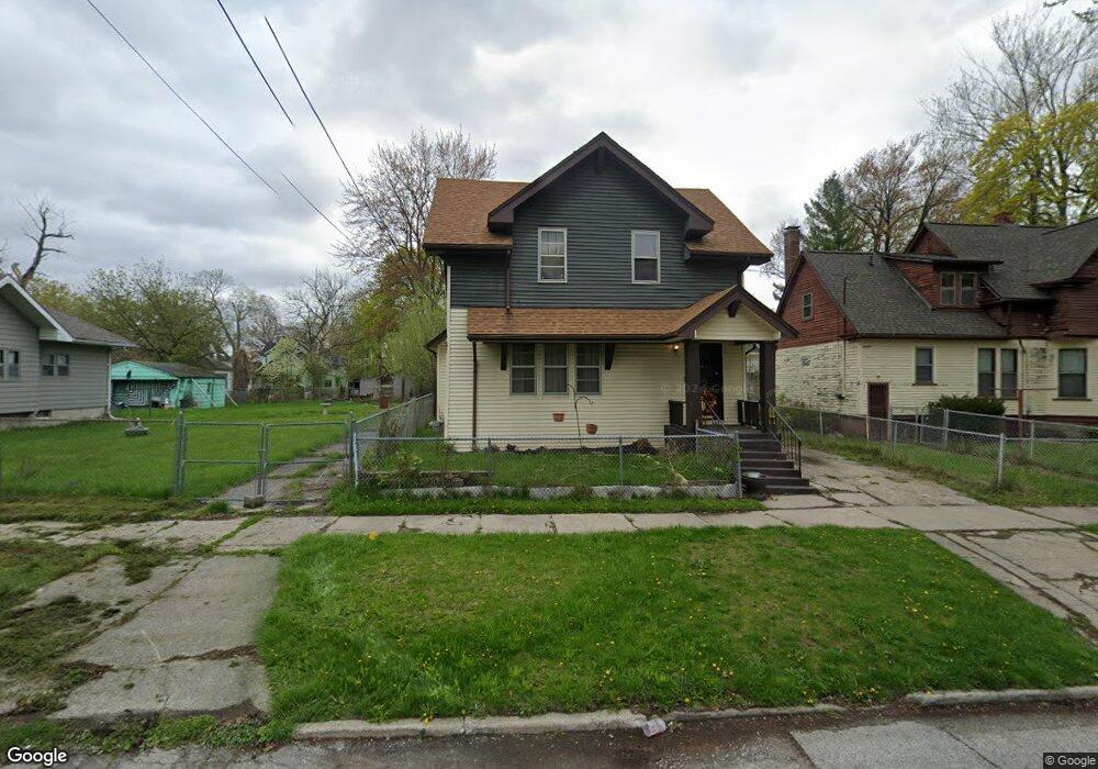
209 S 10th St Saginaw, MI 48601
Houghton Jones NeighborhoodEstimated Value: $49,000 - $62,000
--
Bed
--
Bath
1,164
Sq Ft
$47/Sq Ft
Est. Value
About This Home
This home is located at 209 S 10th St, Saginaw, MI 48601 and is currently estimated at $55,263, approximately $47 per square foot. 209 S 10th St is a home located in Saginaw County with nearby schools including Thompson Middle School, Saginaw United High School, and Saginaw Learn To Earn Academy.
Ownership History
Date
Name
Owned For
Owner Type
Purchase Details
Closed on
Mar 22, 2000
Sold by
Freeman Albert and Freeman Lottie Mae
Bought by
Wilson Celeasha M
Current Estimated Value
Home Financials for this Owner
Home Financials are based on the most recent Mortgage that was taken out on this home.
Original Mortgage
$29,100
Outstanding Balance
$9,962
Interest Rate
8.43%
Mortgage Type
Purchase Money Mortgage
Estimated Equity
$45,301
Purchase Details
Closed on
Oct 8, 1981
Sold by
Collins Thomas E and Collins Margaret E
Bought by
Freeman Albert and Lottie Mae
Create a Home Valuation Report for This Property
The Home Valuation Report is an in-depth analysis detailing your home's value as well as a comparison with similar homes in the area
Home Values in the Area
Average Home Value in this Area
Purchase History
| Date | Buyer | Sale Price | Title Company |
|---|---|---|---|
| Wilson Celeasha M | $30,000 | -- | |
| Wilson Celeasha M | $30,000 | -- | |
| Freeman Albert | $5,300 | -- |
Source: Public Records
Mortgage History
| Date | Status | Borrower | Loan Amount |
|---|---|---|---|
| Open | Wilson Celeasha M | $29,100 |
Source: Public Records
Tax History Compared to Growth
Tax History
| Year | Tax Paid | Tax Assessment Tax Assessment Total Assessment is a certain percentage of the fair market value that is determined by local assessors to be the total taxable value of land and additions on the property. | Land | Improvement |
|---|---|---|---|---|
| 2025 | $386 | $10,700 | $0 | $0 |
| 2024 | $293 | $9,600 | $0 | $0 |
| 2023 | $364 | $9,000 | $0 | $0 |
| 2022 | $355 | $7,700 | $0 | $0 |
| 2021 | $332 | $7,100 | $0 | $0 |
| 2020 | $275 | $6,500 | $0 | $0 |
| 2019 | $222 | $5,500 | $100 | $5,400 |
| 2018 | $265 | $6,175 | $0 | $0 |
| 2017 | $251 | $5,850 | $0 | $0 |
| 2016 | -- | $5,493 | $0 | $0 |
| 2014 | -- | $5,464 | $0 | $5,381 |
| 2013 | -- | $5,575 | $0 | $0 |
Source: Public Records
Map
Nearby Homes
- 213 S 12th St
- 346 S 7th St
- 441 S 11th St
- 924 Federal Ave
- 524 S 14th St
- 514 N 8th St
- 1103,1107,1111,1115 S Park Ave
- 550 S Weadock Ave
- 915 Burt St
- 1919 Perkins St
- 1346 Carlisle St
- 3361 Burt St
- 1610 E Genesee Ave
- 515 Thompson St
- 631 Cathay St
- 2420 Bancroft St
- 912 Howard St
- 2143 Whittier St
- 3 Harmony Ct
- 2009 E Holland Rd
- 1518 Federal Ave
- 1522 Federal Ave
- 1514 Federal Ave
- 219 S 10th St
- 1510 Federal Ave
- 210 S 10th St
- 1506 Federal Ave
- 212 S 10th St
- 1602 Federal Ave
- 218 S 10th St
- 1606 Federal Ave
- 220 S 9th St
- 1517 Federal Ave
- 1523 Federal Ave
- 224 S 10th St
- 222 S 9th St
- 228 S 10th St
- 1511 Federal Ave
- 1610 Federal Ave
- 224 S 9th St