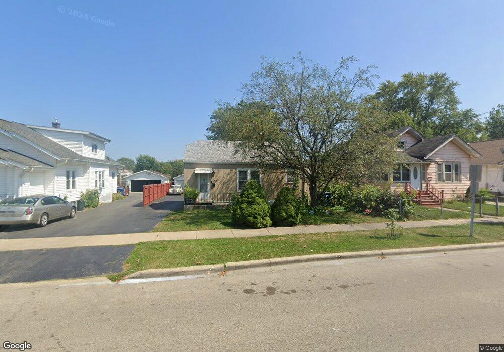
209 S Butrick St Waukegan, IL 60085
West Waukegan NeighborhoodEstimated Value: $147,000 - $191,000
2
Beds
1
Bath
651
Sq Ft
$268/Sq Ft
Est. Value
About This Home
This home is located at 209 S Butrick St, Waukegan, IL 60085 and is currently estimated at $174,289, approximately $267 per square foot. 209 S Butrick St is a home located in Lake County with nearby schools including Washington Elementary School, Robert E. Abbott Middle School, and Waukegan High School.
Ownership History
Date
Name
Owned For
Owner Type
Purchase Details
Closed on
Dec 2, 1999
Sold by
Bankers Trust Company Of California Na
Bought by
Martinez Antonio and Martinez Elvia
Current Estimated Value
Home Financials for this Owner
Home Financials are based on the most recent Mortgage that was taken out on this home.
Original Mortgage
$40,000
Interest Rate
7.69%
Create a Home Valuation Report for This Property
The Home Valuation Report is an in-depth analysis detailing your home's value as well as a comparison with similar homes in the area
Home Values in the Area
Average Home Value in this Area
Purchase History
| Date | Buyer | Sale Price | Title Company |
|---|---|---|---|
| Martinez Antonio | -- | Lawyers Title Insurance Corp |
Source: Public Records
Mortgage History
| Date | Status | Borrower | Loan Amount |
|---|---|---|---|
| Closed | Martinez Antonio | $40,000 |
Source: Public Records
Tax History Compared to Growth
Tax History
| Year | Tax Paid | Tax Assessment Tax Assessment Total Assessment is a certain percentage of the fair market value that is determined by local assessors to be the total taxable value of land and additions on the property. | Land | Improvement |
|---|---|---|---|---|
| 2024 | $3,158 | $37,436 | $8,513 | $28,923 |
| 2023 | $2,875 | $33,487 | $7,615 | $25,872 |
| 2022 | $2,875 | $29,413 | $6,760 | $22,653 |
| 2021 | $2,572 | $24,666 | $5,816 | $18,850 |
| 2020 | $2,605 | $22,979 | $5,418 | $17,561 |
| 2019 | $2,622 | $21,057 | $4,965 | $16,092 |
| 2018 | $2,376 | $18,375 | $7,027 | $11,348 |
| 2017 | $2,313 | $16,257 | $6,217 | $10,040 |
| 2016 | $2,183 | $14,126 | $5,402 | $8,724 |
| 2015 | $2,136 | $12,643 | $4,835 | $7,808 |
| 2014 | $2,374 | $14,029 | $4,856 | $9,173 |
| 2012 | $3,208 | $15,200 | $5,262 | $9,938 |
Source: Public Records
Map
Nearby Homes
- 1521 Catalpa Ave
- 446 S Jackson St
- 304 Powell Ave
- 1416 Hamilton Ct
- 23 N Jackson St
- 305 Besley Place
- 408 Besley Place
- 49 S Lewis Ave
- 613 Clarke Ave
- 610 Bluff St
- 215 S Park Ave
- 613 Washington St
- 557 W Water St
- 28 N Saint James St
- 910 Cummings Ave
- 600 Sunderlin St
- 522 George Ave
- 502 Belvidere Rd
- 515 George Ave
- 12601 W Atlantic Ave
- 213 S Butrick St
- 207 S Butrick St
- 219 S Butrick St
- 201 S Butrick St
- 221 S Butrick St
- 301 S Butrick St
- 212 S Butrick St
- 208 S Butrick St
- 216 S Butrick St
- 218 S Butrick St
- 204 S Butrick St
- 202 S Butrick St
- 309 S Butrick St
- 1312 Melrose Ave Unit 212
- 1312 Melrose Ave Unit 211
- 1312 Melrose Ave Unit 210
- 1312 Melrose Ave Unit 209
- 1312 Melrose Ave Unit 208
- 1312 Melrose Ave Unit 207
- 1312 Melrose Ave Unit 206