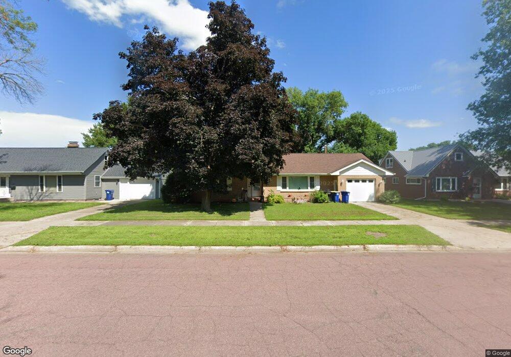
209 S Paffrath Ave Springfield, MN 56087
Estimated Value: $192,000 - $219,000
3
Beds
2
Baths
2,797
Sq Ft
$74/Sq Ft
Est. Value
About This Home
This home is located at 209 S Paffrath Ave, Springfield, MN 56087 and is currently estimated at $207,475, approximately $74 per square foot. 209 S Paffrath Ave is a home located in Brown County with nearby schools including Springfield Elementary School, Springfield Secondary School, and St. Raphael Elementary School.
Ownership History
Date
Name
Owned For
Owner Type
Purchase Details
Closed on
Feb 24, 2022
Sold by
Anderson Clarice V
Bought by
Olson Marcia
Current Estimated Value
Home Financials for this Owner
Home Financials are based on the most recent Mortgage that was taken out on this home.
Original Mortgage
$140,000
Outstanding Balance
$128,501
Interest Rate
3.69%
Mortgage Type
New Conventional
Estimated Equity
$78,974
Purchase Details
Closed on
Jul 20, 2011
Sold by
Beers Adam R and Beers Katie R
Bought by
Anderson Clarice B
Create a Home Valuation Report for This Property
The Home Valuation Report is an in-depth analysis detailing your home's value as well as a comparison with similar homes in the area
Purchase History
We collect this data history from publicly available records. To have your information removed, we recommend requesting removal directly through your county’s website.
| Date | Buyer | Sale Price | Title Company |
|---|---|---|---|
| Olson Marcia | $185,000 | Walz Law Office | |
| Anderson Clarice B | -- | -- |
Source: Public Records
Mortgage History
We collect this data history from publicly available records. To have your information removed, we recommend requesting removal directly through your county’s website.
| Date | Status | Borrower | Loan Amount |
|---|---|---|---|
| Open | Olson Marcia | $140,000 |
Source: Public Records
Tax History
| Year | Tax Paid | Tax Assessment Tax Assessment Total Assessment is a certain percentage of the fair market value that is determined by local assessors to be the total taxable value of land and additions on the property. | Land | Improvement |
|---|---|---|---|---|
| 2025 | $3,542 | $208,100 | $13,700 | $194,400 |
| 2024 | $3,542 | $207,600 | $13,700 | $193,900 |
| 2023 | $3,538 | $195,300 | $11,900 | $183,400 |
| 2022 | $2,920 | $162,600 | $9,900 | $152,700 |
| 2021 | $2,620 | $147,100 | $8,600 | $138,500 |
| 2020 | $2,656 | $143,700 | $8,600 | $135,100 |
| 2019 | $2,606 | $144,600 | $8,600 | $136,000 |
| 2018 | $2,470 | $143,600 | $8,600 | $135,000 |
| 2017 | $2,020 | $142,500 | $8,600 | $133,900 |
| 2016 | $1,982 | $116,226 | $0 | $0 |
| 2015 | -- | $0 | $0 | $0 |
| 2014 | -- | $0 | $0 | $0 |
| 2013 | -- | $0 | $0 | $0 |
Source: Public Records
Map
Nearby Homes
- 406 Burns Ave
- xxx Garden St
- 18 S Spring Ave
- 209 S Spring Ave
- 124 N Park Ave
- 117 W Van Dusen St
- 118 N O Connell Ave
- 20.5 Acres Land Section 24
- 401 S County Road 5 Unit 102
- xxx E Appel St
- Lot 5-8 E Winona St
- TBD Laser Ave Us Highway 14
- 32077 US Highway 14
- 23789 490th Ave
- 213 Brown St W
- 26609 County Road 45
- Tbd Co Hwy 16
- 310 Oak St
- 20479 Laser Ave
- 118 Somerville Ave
- 203 S Paffrath Ave
- 215 S Paffrath Ave
- xxx S Paffrath Ave
- 221 S Paffrath Ave
- 210 S Paffrath Ave
- 204 S Paffrath Ave
- 216 S Paffrath Ave
- 202 Hoyt Ave
- 212 Hoyt Ave
- 206 Hoyt Ave
- 125 S Paffrath Ave
- 216 Hoyt Ave
- 224 Hoyt Ave
- 220 Hoyt Ave
- 222 S Paffrath Ave
- 115 S Paffrath Ave
- 303 S Paffrath Ave
- 124 Hoyt Ave
- 120 S Paffrath Ave
- 124 S Paffrath Ave
Your Personal Tour Guide
Ask me questions while you tour the home.