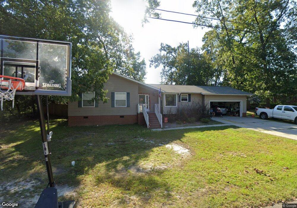
209 Sandel Ln West Columbia, SC 29169
Estimated Value: $230,000 - $261,000
3
Beds
2
Baths
1,340
Sq Ft
$184/Sq Ft
Est. Value
About This Home
This home is located at 209 Sandel Ln, West Columbia, SC 29169 and is currently estimated at $246,955, approximately $184 per square foot. 209 Sandel Ln is a home located in Lexington County with nearby schools including Riverbank Elementary, Northside Middle, and Brookland-Cayce High School.
Ownership History
Date
Name
Owned For
Owner Type
Purchase Details
Closed on
Apr 27, 2023
Sold by
Descy Frederick F
Bought by
Miller Nicholas R
Current Estimated Value
Home Financials for this Owner
Home Financials are based on the most recent Mortgage that was taken out on this home.
Original Mortgage
$218,960
Outstanding Balance
$213,101
Interest Rate
6.6%
Mortgage Type
FHA
Estimated Equity
$33,854
Purchase Details
Closed on
Apr 20, 2007
Sold by
Oakes Ken M
Bought by
Descy Frederick F
Home Financials for this Owner
Home Financials are based on the most recent Mortgage that was taken out on this home.
Original Mortgage
$100,400
Interest Rate
6.1%
Mortgage Type
Purchase Money Mortgage
Purchase Details
Closed on
Nov 10, 1998
Sold by
Burr Robert W
Bought by
Oakes Ken M
Create a Home Valuation Report for This Property
The Home Valuation Report is an in-depth analysis detailing your home's value as well as a comparison with similar homes in the area
Home Values in the Area
Average Home Value in this Area
Purchase History
| Date | Buyer | Sale Price | Title Company |
|---|---|---|---|
| Miller Nicholas R | $223,000 | None Listed On Document | |
| Descy Frederick F | $125,500 | None Available | |
| Oakes Ken M | $89,900 | -- |
Source: Public Records
Mortgage History
| Date | Status | Borrower | Loan Amount |
|---|---|---|---|
| Open | Miller Nicholas R | $218,960 | |
| Previous Owner | Descy Frederick F | $100,400 |
Source: Public Records
Tax History Compared to Growth
Tax History
| Year | Tax Paid | Tax Assessment Tax Assessment Total Assessment is a certain percentage of the fair market value that is determined by local assessors to be the total taxable value of land and additions on the property. | Land | Improvement |
|---|---|---|---|---|
| 2024 | $1,644 | $8,920 | $1,600 | $7,320 |
| 2023 | $1,705 | $5,561 | $1,400 | $4,161 |
| 2022 | $1,073 | $5,561 | $1,400 | $4,161 |
| 2020 | $1,030 | $5,561 | $1,400 | $4,161 |
| 2019 | $996 | $5,268 | $1,400 | $3,868 |
| 2018 | $1,007 | $5,268 | $1,400 | $3,868 |
| 2017 | $966 | $5,268 | $1,400 | $3,868 |
| 2016 | $994 | $5,268 | $1,400 | $3,868 |
| 2014 | $733 | $5,112 | $1,400 | $3,712 |
| 2013 | -- | $5,110 | $1,400 | $3,710 |
Source: Public Records
Map
Nearby Homes
- 215 Sandel Ln
- 207 Woodhaven Dr
- 2004 Dew Ave
- 0 Platt Springs Rd Unit 606355
- 339 Gum Swamp Trail
- 349 Gum Swamp Trail
- 116 Silver Run Place
- 623 Hook Ave
- 135 Silver Run Place
- 212 Alexandria St
- 165 Cavendish Dr
- 529 Finnegan Ln
- 309 Hammond Ave
- 500 Finnegan Ln
- 913 Harper Rose Ct
- 1802 D Ave
- 179 War Admiral Dr
- 106 Earl Ct
- 617 Holland Cir
- 1734 C Ave
- 213 Sandel Ln
- 121 Menscer Dr
- 204 Sandel Ln
- 205 Sandel Ln
- 206 Sandel Ln
- 109 Menscer Dr
- 2140 Leaphart Rd
- 2134 Leaphart Rd
- 2150 Leaphart Rd
- 115 Woodhaven Dr
- 201 Woodhaven Dr
- 201 1/2 Woodhaven Dr
- 208 Sandel Ln
- 2160 Leaphart Rd
- 107 Woodhaven Dr
- 116 Menscer Dr
- 2230 Leaphart Rd
- 105 Woodhaven Dr
- 2109 Holland St
- 2113 Holland St