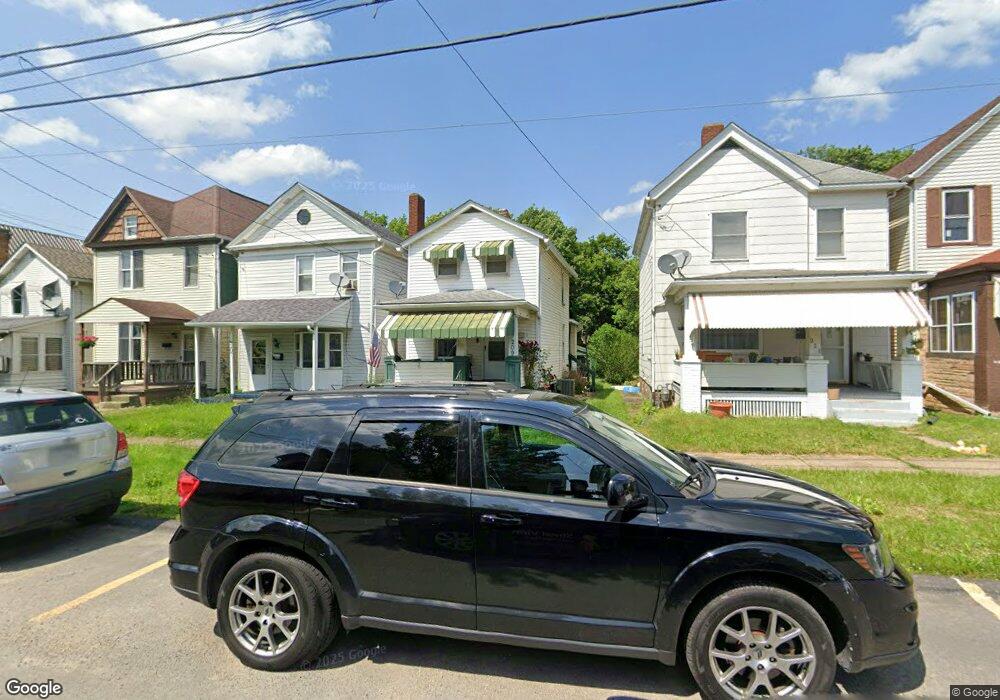
209 Sherman Ave Vandergrift, PA 15690
Estimated Value: $58,000 - $78,316
--
Bed
--
Bath
--
Sq Ft
2,439
Sq Ft Lot
About This Home
This home is located at 209 Sherman Ave, Vandergrift, PA 15690 and is currently estimated at $66,829. 209 Sherman Ave is a home located in Westmoreland County with nearby schools including Kiski Area High School.
Ownership History
Date
Name
Owned For
Owner Type
Purchase Details
Closed on
Apr 8, 2008
Sold by
Gamble Robert T and Gamble Kaye L
Bought by
Resnick Claude J and Resnick Rebecca L
Current Estimated Value
Home Financials for this Owner
Home Financials are based on the most recent Mortgage that was taken out on this home.
Original Mortgage
$27,000
Outstanding Balance
$17,395
Interest Rate
6.3%
Mortgage Type
Purchase Money Mortgage
Estimated Equity
$49,434
Purchase Details
Closed on
Aug 23, 2002
Sold by
Chernauskas Gertrude and Zentz Alice
Bought by
Gamble Robert T and Gamble Kaye L
Create a Home Valuation Report for This Property
The Home Valuation Report is an in-depth analysis detailing your home's value as well as a comparison with similar homes in the area
Home Values in the Area
Average Home Value in this Area
Purchase History
| Date | Buyer | Sale Price | Title Company |
|---|---|---|---|
| Resnick Claude J | $30,000 | None Available | |
| Gamble Robert T | $22,000 | -- |
Source: Public Records
Mortgage History
| Date | Status | Borrower | Loan Amount |
|---|---|---|---|
| Open | Resnick Claude J | $27,000 |
Source: Public Records
Tax History Compared to Growth
Tax History
| Year | Tax Paid | Tax Assessment Tax Assessment Total Assessment is a certain percentage of the fair market value that is determined by local assessors to be the total taxable value of land and additions on the property. | Land | Improvement |
|---|---|---|---|---|
| 2025 | $729 | $4,470 | $1,590 | $2,880 |
| 2024 | $695 | $4,470 | $1,590 | $2,880 |
| 2023 | $640 | $4,470 | $1,590 | $2,880 |
| 2022 | $626 | $4,470 | $1,590 | $2,880 |
| 2021 | $626 | $4,470 | $1,590 | $2,880 |
| 2020 | $625 | $4,470 | $1,590 | $2,880 |
| 2019 | $623 | $4,470 | $1,590 | $2,880 |
| 2018 | $614 | $4,470 | $1,590 | $2,880 |
| 2017 | $600 | $4,470 | $1,590 | $2,880 |
| 2016 | $592 | $4,470 | $1,590 | $2,880 |
| 2015 | $592 | $4,470 | $1,590 | $2,880 |
| 2014 | $589 | $4,470 | $1,590 | $2,880 |
Source: Public Records
Map
Nearby Homes
- 135 Hamilton Ave
- 147 Hamilton Ave
- 137 Sherman Ave
- 107 Sumner Ave
- 1116 Grant St
- 116 Custer Ave
- 325 -1/2 Quay St
- 1266 Jefferson St
- 314 Kennedy Ave
- 325 Chambers St
- 312 Franklin Ave
- 430 Kennedy Ave
- 404 Jackson Ave
- 716 Kennedy Ave
- 1805 Moore Ave
- 2106 River Rd
- 734 Mckinley Ave
- 315 Spruce St
- 105 Longfellow St
- 323 Sycamore St
- 209 Sherman Ave
- 211 Sherman Ave
- 207 Sherman Ave
- 205 Sherman Ave
- 213 Sherman Ave
- 203 Sherman Ave
- 215 Sherman Ave
- 201 Sherman Ave
- 201 Sherman Ave
- 217 Sherman Ave
- 219 Sherman Ave
- 199 Sherman Ave
- 208 Sherman Ave
- 204 Sherman Ave
- 206 Sherman Ave
- 210 Sherman Ave
- 221 Sherman Ave
- 197 Sherman Ave
- 101 Hamilton Ave
- 223 Sherman Ave