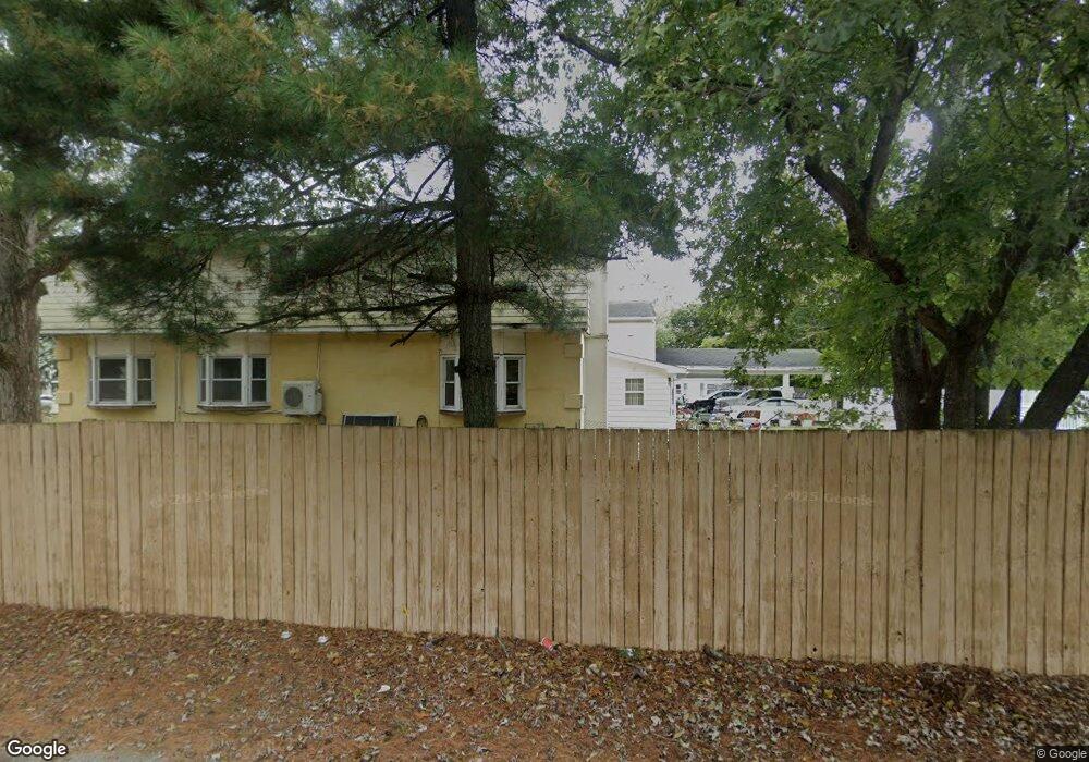
209 Shunpike Rd Cape May Court House, NJ 08210
Estimated Value: $537,103 - $1,035,000
--
Bed
--
Bath
6,115
Sq Ft
$113/Sq Ft
Est. Value
About This Home
This home is located at 209 Shunpike Rd, Cape May Court House, NJ 08210 and is currently estimated at $688,526, approximately $112 per square foot. 209 Shunpike Rd is a home located in Cape May County with nearby schools including Middle Township Elementary No. 1, Middle Township Elementary No. 2, and Middle Township Middle School.
Ownership History
Date
Name
Owned For
Owner Type
Purchase Details
Closed on
May 27, 2003
Sold by
Clark Cora
Bought by
D'Andrea Rocco and D'Andrea Rock
Current Estimated Value
Purchase Details
Closed on
Apr 24, 2000
Sold by
Tsui I Yuk
Bought by
D'Andrea Rocco
Home Financials for this Owner
Home Financials are based on the most recent Mortgage that was taken out on this home.
Original Mortgage
$100,000
Interest Rate
8.23%
Create a Home Valuation Report for This Property
The Home Valuation Report is an in-depth analysis detailing your home's value as well as a comparison with similar homes in the area
Home Values in the Area
Average Home Value in this Area
Purchase History
| Date | Buyer | Sale Price | Title Company |
|---|---|---|---|
| D'Andrea Rocco | $170,000 | -- | |
| D'Andrea Rocco | $150,000 | -- |
Source: Public Records
Mortgage History
| Date | Status | Borrower | Loan Amount |
|---|---|---|---|
| Previous Owner | D'Andrea Rocco | $100,000 |
Source: Public Records
Tax History Compared to Growth
Tax History
| Year | Tax Paid | Tax Assessment Tax Assessment Total Assessment is a certain percentage of the fair market value that is determined by local assessors to be the total taxable value of land and additions on the property. | Land | Improvement |
|---|---|---|---|---|
| 2025 | $8,139 | $385,900 | $140,900 | $245,000 |
| 2024 | $8,139 | $385,900 | $140,900 | $245,000 |
| 2023 | $7,934 | $385,900 | $140,900 | $245,000 |
| 2022 | $7,706 | $385,900 | $140,900 | $245,000 |
| 2021 | $7,521 | $385,900 | $140,900 | $245,000 |
| 2020 | $7,367 | $385,900 | $140,900 | $245,000 |
| 2019 | $7,178 | $385,900 | $140,900 | $245,000 |
| 2018 | $7,066 | $385,900 | $140,900 | $245,000 |
| 2017 | $6,923 | $385,900 | $140,900 | $245,000 |
| 2016 | $6,749 | $385,900 | $140,900 | $245,000 |
| 2015 | $6,699 | $385,900 | $140,900 | $245,000 |
| 2014 | $6,657 | $385,900 | $140,900 | $245,000 |
Source: Public Records
Map
Nearby Homes
- 212 Shunpike Rd
- 90 Wynndemere Ct
- 220 Hand Ave
- 310 Front St
- 215 S Boyd St
- 62 Wynndemere Ct
- 416 Hand Ave
- 13 Poplar St
- 411 Dias Creek Rd
- 4 Railroad Ave
- 24 Church St
- 506 Hand Ave
- 4 Darott Dr
- 144 Lee Ln Unit Front
- 47 Fishing Creek Rd
- 147 Lee Ln Unit 147
- 5 Locust Ln
- 306 3rd St
- 105 E Atlantic Ave
- 33 E Mechanic St
- 207 Shunpike Rd
- 211 Shunpike Rd
- 204 Dias Creek Rd
- 208 Shunpike Rd
- 202 Dias Creek Rd
- 222 School House Ln
- 220 School House Ln
- 206 Shunpike Rd
- 208 Dias Creek Rd
- 301 Shunpike Rd
- 216 School House Ln
- 201 Dias Creek Rd Unit 2
- 201 Dias Creek Rd Unit 1
- 205 Dias Creek Rd
- 307 Stites Ave
- 313 Stites Ave
- 321 Stites Ave
- 223 Stites Ave
- 224 Dias Creek Rd
- 217 Stites Ave