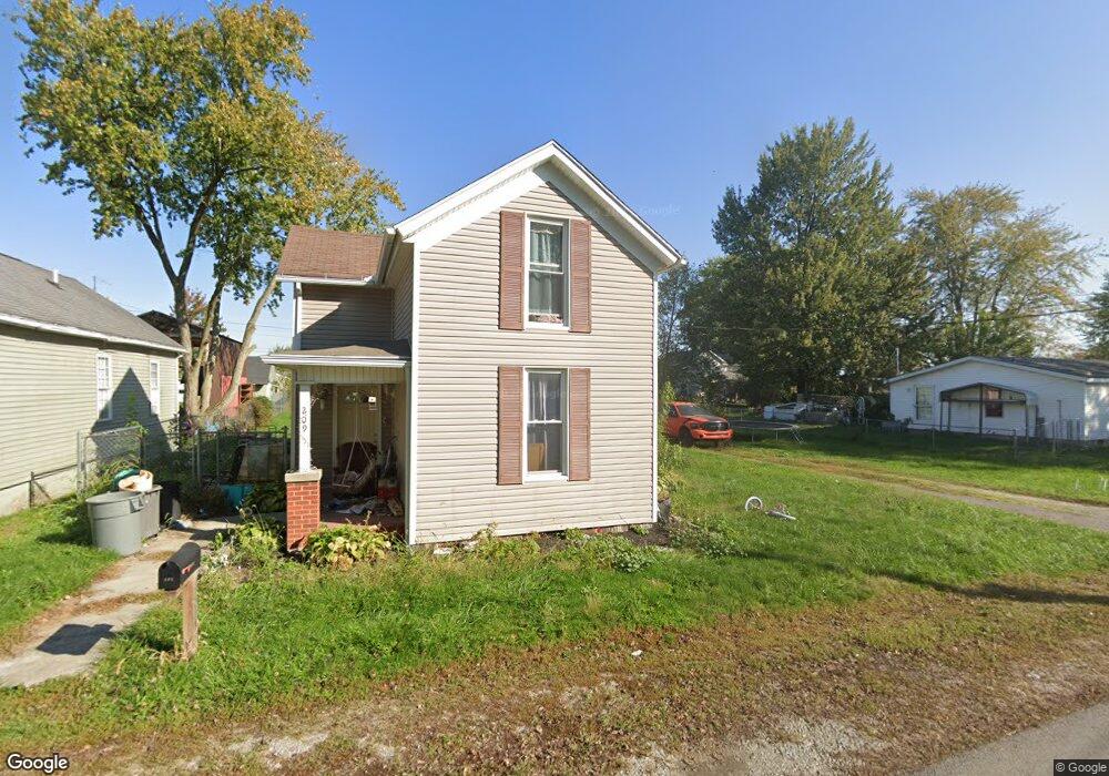
209 W Mulberry St Waynesfield, OH 45896
Estimated Value: $147,000 - $198,584
3
Beds
2
Baths
1,404
Sq Ft
$123/Sq Ft
Est. Value
About This Home
This home is located at 209 W Mulberry St, Waynesfield, OH 45896 and is currently estimated at $172,646, approximately $122 per square foot. 209 W Mulberry St is a home located in Auglaize County with nearby schools including Waynesfield-Goshen Local Elementary School and Waynesfield-Goshen Local High School.
Ownership History
Date
Name
Owned For
Owner Type
Purchase Details
Closed on
Aug 31, 2015
Sold by
Taylor Ronald A
Bought by
Taylor Ryan and The Ronald A Taylor Property Management
Current Estimated Value
Purchase Details
Closed on
Jul 2, 2001
Sold by
Chiles G Ward
Bought by
Chiles G Ward
Purchase Details
Closed on
May 15, 1998
Sold by
Pence G Lynn
Bought by
Chiles G Ward
Purchase Details
Closed on
Jul 1, 1986
Create a Home Valuation Report for This Property
The Home Valuation Report is an in-depth analysis detailing your home's value as well as a comparison with similar homes in the area
Home Values in the Area
Average Home Value in this Area
Purchase History
| Date | Buyer | Sale Price | Title Company |
|---|---|---|---|
| Taylor Ryan | -- | Attorney | |
| Chiles G Ward | -- | -- | |
| Chiles G Ward | $12,000 | -- | |
| -- | $6,000 | -- |
Source: Public Records
Tax History Compared to Growth
Tax History
| Year | Tax Paid | Tax Assessment Tax Assessment Total Assessment is a certain percentage of the fair market value that is determined by local assessors to be the total taxable value of land and additions on the property. | Land | Improvement |
|---|---|---|---|---|
| 2024 | $3,978 | $61,480 | $2,370 | $59,110 |
| 2023 | $1,911 | $61,480 | $2,370 | $59,110 |
| 2022 | $1,429 | $41,860 | $2,200 | $39,660 |
| 2021 | $1,414 | $41,860 | $2,200 | $39,660 |
| 2020 | $1,394 | $41,864 | $2,202 | $39,662 |
| 2019 | $1,077 | $34,885 | $1,834 | $33,051 |
| 2018 | $1,050 | $34,885 | $1,834 | $33,051 |
| 2017 | $1,046 | $34,885 | $1,834 | $33,051 |
| 2016 | $995 | $34,364 | $1,747 | $32,617 |
| 2015 | $996 | $34,364 | $1,747 | $32,617 |
| 2014 | $1,019 | $34,364 | $1,747 | $32,617 |
| 2013 | $1,102 | $34,364 | $1,747 | $32,617 |
Source: Public Records
Map
Nearby Homes
- 202 W Mulberry St
- 105 Guthrie St
- 25836 Ohio 67
- 18544 Santa Fe Line Rd
- 22275 Buckland Holden Rd
- 8150 Amherst Rd
- 5065 Amherst Rd
- 20630 State Route 67
- 17 E Walnut St
- 37 N Main St
- 0 Ohio 67
- 4111 S Phillips Rd
- 7165 Faulkner Rd
- 6616 Bellefontaine Rd
- 6381 McPheron Rd
- 11352 N Township Road 88
- 12102 Shannon Dr Unit 89
- E Hanthorn Rd
- 5600 E Hanthorn Rd
- 12015 Holly Dr
- 209 E Mulberry St
- 207 E Mulberry St
- 211 E Mulberry St
- 213 W Mulberry St
- 205 W Mulberry St
- 215 W Mulberry St
- 206 W Mulberry St
- 208 W Mulberry St
- 203 W Mulberry St
- 107 W Perry St
- 102 W Perry St
- 217 W Mulberry St
- 210 W Mulberry St
- 209 N Westminster St
- 207 N Westminster St
- 105 E Perry St
- 203 N Westminster St