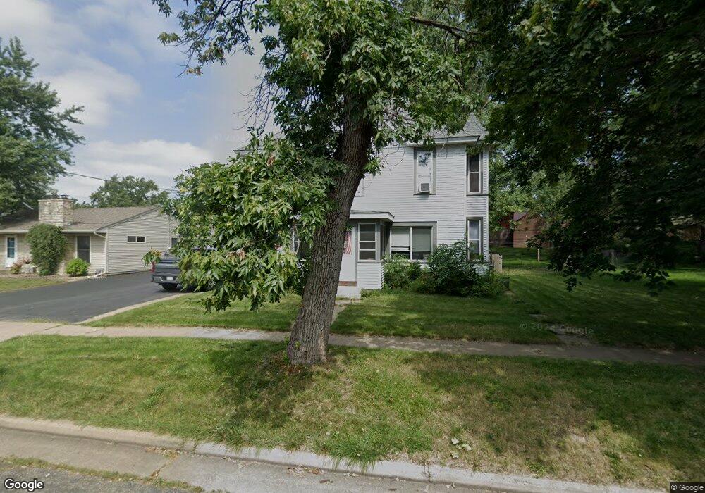
209 W Warren St Roberts, WI 54023
Warren NeighborhoodEstimated Value: $298,000 - $330,000
2
Beds
1
Bath
800
Sq Ft
$393/Sq Ft
Est. Value
About This Home
This home is located at 209 W Warren St, Roberts, WI 54023 and is currently estimated at $314,056, approximately $392 per square foot. 209 W Warren St is a home located in St. Croix County with nearby schools including Saint Croix Central Elementary School, Saint Croix Central Middle School, and St. Croix Central High School.
Ownership History
Date
Name
Owned For
Owner Type
Purchase Details
Closed on
Feb 1, 2019
Sold by
Thorsen Dennis E and Thorsen Mary E
Bought by
Wyss Michael J
Current Estimated Value
Home Financials for this Owner
Home Financials are based on the most recent Mortgage that was taken out on this home.
Original Mortgage
$151,320
Outstanding Balance
$131,972
Interest Rate
4.6%
Mortgage Type
New Conventional
Estimated Equity
$182,084
Create a Home Valuation Report for This Property
The Home Valuation Report is an in-depth analysis detailing your home's value as well as a comparison with similar homes in the area
Home Values in the Area
Average Home Value in this Area
Purchase History
| Date | Buyer | Sale Price | Title Company |
|---|---|---|---|
| Wyss Michael J | $156,000 | Title One |
Source: Public Records
Mortgage History
| Date | Status | Borrower | Loan Amount |
|---|---|---|---|
| Open | Wyss Michael J | $151,320 |
Source: Public Records
Tax History
| Year | Tax Paid | Tax Assessment Tax Assessment Total Assessment is a certain percentage of the fair market value that is determined by local assessors to be the total taxable value of land and additions on the property. | Land | Improvement |
|---|---|---|---|---|
| 2025 | $4,329 | $275,600 | $46,000 | $229,600 |
| 2024 | $35 | $275,600 | $46,000 | $229,600 |
| 2023 | $3,474 | $160,800 | $35,800 | $125,000 |
| 2022 | $3,255 | $160,800 | $35,800 | $125,000 |
| 2021 | $3,284 | $160,800 | $35,800 | $125,000 |
| 2020 | $3,323 | $160,800 | $35,800 | $125,000 |
| 2019 | $3,239 | $160,800 | $35,800 | $125,000 |
| 2018 | $3,126 | $160,800 | $35,800 | $125,000 |
| 2017 | $2,679 | $160,800 | $35,800 | $125,000 |
| 2016 | $2,679 | $115,000 | $37,200 | $77,800 |
| 2015 | $2,666 | $115,000 | $37,200 | $77,800 |
| 2014 | $2,507 | $115,000 | $37,200 | $77,800 |
| 2013 | $2,363 | $115,000 | $37,200 | $77,800 |
Source: Public Records
Map
Nearby Homes
- 202 W Warren St
- 306 N Division St
- xxx N Division St
- 601 S Division St
- 603 S Division St
- 112 W Brewer St
- 603 Field Point St
- 607 Field Point St
- 628 Franklin St
- 630 Franklin St
- 613 Field Point St
- 610 Field Point St
- 615 Field Point St
- 634 Franklin St
- 617 Field Point St
- 642 Franklin St
- 621 Field Point St
- 811 130th St
- 1224 US Highway 12
- 403 N Cheyenne St
- 211 W Warren St
- 108 S Locust St
- 213 W Warren St
- 201 W Warren St
- 208 W Main St
- 208 W Warren St
- 210 W Main St
- 206 W Warren St
- 218 W Main St
- 204 W Main St
- 212 W Warren St
- 214 W Warren St
- 204 W Warren St
- 220 W Main St
- 204 & 206 W Main St
- 301 W Warren St
- 206 W Main St
- 201 W Main St
- 107 S Locust St
- 211 W Elm St
Your Personal Tour Guide
Ask me questions while you tour the home.