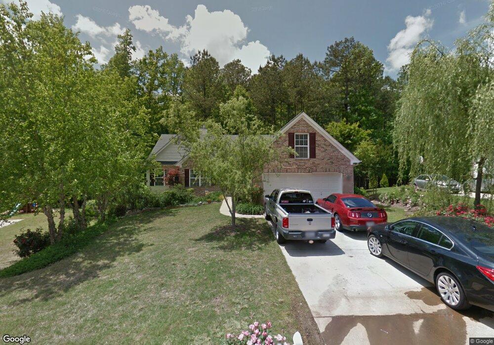
209 Wisteria Way Athens, GA 30606
Estimated Value: $370,000 - $442,000
--
Bed
--
Bath
3,816
Sq Ft
$105/Sq Ft
Est. Value
About This Home
This home is located at 209 Wisteria Way, Athens, GA 30606 and is currently estimated at $402,137, approximately $105 per square foot. 209 Wisteria Way is a home located in Clarke County with nearby schools including Whitehead Road Elementary School, Burney-Harris-Lyons Middle School, and Clarke Central High School.
Ownership History
Date
Name
Owned For
Owner Type
Purchase Details
Closed on
Jul 29, 2019
Sold by
Goodson Peggy J
Bought by
Goodson Richard Glenn and Goodson Ronald Gary
Current Estimated Value
Purchase Details
Closed on
Apr 27, 2005
Sold by
Jackson Alphonso
Bought by
Goodson Richard G and Goodson Peggy J
Purchase Details
Closed on
Oct 30, 2003
Sold by
Liberty Builders Llc
Bought by
Goodson Richard G and Goodson Peggy J
Purchase Details
Closed on
Aug 5, 2002
Sold by
North East Developers Inc
Bought by
Liberty Builders Llc
Create a Home Valuation Report for This Property
The Home Valuation Report is an in-depth analysis detailing your home's value as well as a comparison with similar homes in the area
Home Values in the Area
Average Home Value in this Area
Purchase History
| Date | Buyer | Sale Price | Title Company |
|---|---|---|---|
| Goodson Richard Glenn | -- | -- | |
| Goodson Richard G | -- | -- | |
| Goodson Richard G | $195,500 | -- | |
| Liberty Builders Llc | $23,500 | -- |
Source: Public Records
Tax History Compared to Growth
Tax History
| Year | Tax Paid | Tax Assessment Tax Assessment Total Assessment is a certain percentage of the fair market value that is determined by local assessors to be the total taxable value of land and additions on the property. | Land | Improvement |
|---|---|---|---|---|
| 2025 | $4,973 | $160,151 | $12,000 | $148,151 |
| 2024 | $4,973 | $152,652 | $12,000 | $140,652 |
| 2023 | $4,770 | $142,745 | $12,000 | $130,745 |
| 2022 | $3,787 | $118,724 | $10,400 | $108,324 |
| 2021 | $3,181 | $94,392 | $10,400 | $83,992 |
| 2020 | $2,942 | $87,309 | $10,400 | $76,909 |
| 2019 | $2,179 | $89,939 | $10,400 | $79,539 |
| 2018 | $2,064 | $81,740 | $10,400 | $71,340 |
| 2017 | $2,023 | $78,762 | $10,400 | $68,362 |
| 2016 | $1,901 | $70,048 | $10,400 | $59,648 |
| 2015 | $1,798 | $62,950 | $10,400 | $52,550 |
| 2014 | $1,786 | $62,610 | $10,400 | $52,210 |
Source: Public Records
Map
Nearby Homes
- 211 Wisteria Way
- 207 Wisteria Way
- 205 Wisteria Way
- 208 Wisteria Way
- 204 Wisteria Way
- 212 Wisteria Way
- 203 Wisteria Way
- 301 Wisteria Way
- 157 Lot 1c Silverbell Trace
- 157 Silverbell Trace
- 103 Mint Place
- 201 Wisteria Way
- 305 Wisteria Way
- 153 Silverbell Trace
- 164 Silverbell Trail
- 119 Wisteria Way
- 164 Silverbell Trace
- 100 Mint Place
- 109 Mint Place
- 149 Silverbell Trace