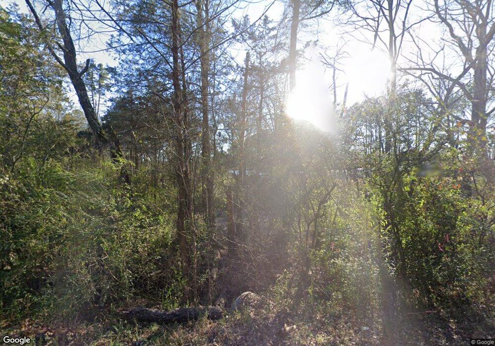
2090 Burnt Ridge Rd Shirley, AR 72153
Estimated Value: $152,000 - $305,118
--
Bed
--
Bath
1,216
Sq Ft
$207/Sq Ft
Est. Value
About This Home
This home is located at 2090 Burnt Ridge Rd, Shirley, AR 72153 and is currently estimated at $252,030, approximately $207 per square foot. 2090 Burnt Ridge Rd is a home with nearby schools including Clinton Elementary School, Clinton Junior High School, and Clinton High School.
Ownership History
Date
Name
Owned For
Owner Type
Purchase Details
Closed on
Mar 15, 2022
Sold by
Noel And Saundra Holmes Living Trust
Bought by
Grillot Daniel
Current Estimated Value
Home Financials for this Owner
Home Financials are based on the most recent Mortgage that was taken out on this home.
Original Mortgage
$275,000
Interest Rate
6.09%
Mortgage Type
VA
Purchase Details
Closed on
Aug 26, 2021
Sold by
Holmes Noel W and Holmes Saundra G
Bought by
Holmes Noel Wesley and Holmes Saundra Gail
Purchase Details
Closed on
Jul 8, 2005
Sold by
Baker Kay
Bought by
Holmes Noel Wesley and Holmes Saundra Gail
Create a Home Valuation Report for This Property
The Home Valuation Report is an in-depth analysis detailing your home's value as well as a comparison with similar homes in the area
Home Values in the Area
Average Home Value in this Area
Purchase History
| Date | Buyer | Sale Price | Title Company |
|---|---|---|---|
| Grillot Daniel | $275,000 | Cannaday Abstract & Title | |
| Holmes Noel Wesley | -- | None Available | |
| Holmes Noel Wesley | $47,000 | Ozark Title Services Inc |
Source: Public Records
Mortgage History
| Date | Status | Borrower | Loan Amount |
|---|---|---|---|
| Previous Owner | Grillot Daniel | $275,000 |
Source: Public Records
Tax History Compared to Growth
Tax History
| Year | Tax Paid | Tax Assessment Tax Assessment Total Assessment is a certain percentage of the fair market value that is determined by local assessors to be the total taxable value of land and additions on the property. | Land | Improvement |
|---|---|---|---|---|
| 2024 | $807 | $18,290 | $14,440 | $3,850 |
| 2023 | $50 | $18,290 | $14,440 | $3,850 |
| 2022 | $857 | $18,290 | $14,440 | $3,850 |
| 2021 | $857 | $18,290 | $14,440 | $3,850 |
| 2020 | $857 | $18,290 | $14,440 | $3,850 |
| 2019 | $785 | $16,660 | $14,440 | $2,220 |
| 2018 | $760 | $16,660 | $14,440 | $2,220 |
| 2017 | $728 | $16,660 | $14,440 | $2,220 |
| 2015 | -- | $16,680 | $14,440 | $2,240 |
| 2014 | -- | $16,680 | $14,440 | $2,240 |
| 2013 | -- | $16,120 | $14,440 | $1,680 |
Source: Public Records
Map
Nearby Homes
- 00 Riverbend Dr
- 1435 Burnt Ridge Rd
- 1435 Burnt Ridge Rd (Cabin)
- Lot 4 Phil Ln
- Lot 1 Phil Ln
- 000 Barrens Loop Rd
- 799 Barrens Community Rd
- 0000 Burnt Ridge Rd
- 000 Burnt Ridge
- TBD Burnt Ridge Rd
- 4492 D Burnt Ridge Rd
- 4492 C Burnt Ridge Rd
- 4492 B Burnt Ridge Rd
- 4492 A Burnt Ridge Rd
- 310 Memory Ln
- 5225 Burnt Ridge Rd
- 251 Sally Ann Dr
- 108 Heather Ln
- 108 Heather Ln
- 172 Heather Ln
- 2090 Burnt Ridge Rd
- 2146 Burnt Ridge Rd
- 225 Cornflower Ln
- 2125 Burnt Ridge Rd
- 1928 Burnt Ridge Rd
- 2125 Burnt Ridge Rd
- 1760 Burnt Ridge Rd
- 1692 Burnt Ridge Rd
- 1803 Burnt Ridge Rd
- 148 Riverbend Dr
- 156 Riverbend Dr
- 138 Riverbend Dr
- 202 Riverbend Dr
- 260 Riverbend Dr
- 1771 Burnt Ridge Rd
- 348 Riverbend Dr
- 332 Riverbend Dr
- 324 Riverbend Dr
- 134 Riverbend Dr
- 42 Riverbend Dr
