2090 Double Bridge Rd Demorest, GA 30535
Estimated Value: $134,000 - $265,000
2
Beds
1
Bath
1,072
Sq Ft
$190/Sq Ft
Est. Value
About This Home
This home is located at 2090 Double Bridge Rd, Demorest, GA 30535 and is currently estimated at $204,155, approximately $190 per square foot. 2090 Double Bridge Rd is a home located in Habersham County with nearby schools including Demorest Elementary School, Wilbanks Middle School, and Habersham Success Academy.
Ownership History
Date
Name
Owned For
Owner Type
Purchase Details
Closed on
Mar 16, 2021
Sold by
Lord Austin Taylor
Bought by
2090 Double Bridge Downs Family Iv Tr
Current Estimated Value
Purchase Details
Closed on
Nov 8, 2019
Sold by
R & C Propertis 150 Kentucky Llc
Bought by
Lord Austin Taylor and Roberts William Timothy
Home Financials for this Owner
Home Financials are based on the most recent Mortgage that was taken out on this home.
Original Mortgage
$160,000
Interest Rate
3.5%
Mortgage Type
New Conventional
Purchase Details
Closed on
Dec 27, 2018
Sold by
Demorest Congregation Of Jehovahs Witnes
Bought by
R & C Property 150 Kentucky Llc
Purchase Details
Closed on
Nov 28, 2016
Sold by
Bret
Bought by
Demorest Congregation Of Jehov
Create a Home Valuation Report for This Property
The Home Valuation Report is an in-depth analysis detailing your home's value as well as a comparison with similar homes in the area
Home Values in the Area
Average Home Value in this Area
Purchase History
| Date | Buyer | Sale Price | Title Company |
|---|---|---|---|
| 2090 Double Bridge Downs Family Iv Tr | -- | -- | |
| Lord Austin Taylor | $165,000 | -- | |
| R & C Property 150 Kentucky Llc | $60,000 | -- | |
| Demorest Congregation Of Jehov | -- | -- |
Source: Public Records
Mortgage History
| Date | Status | Borrower | Loan Amount |
|---|---|---|---|
| Previous Owner | Lord Austin Taylor | $160,000 |
Source: Public Records
Tax History Compared to Growth
Tax History
| Year | Tax Paid | Tax Assessment Tax Assessment Total Assessment is a certain percentage of the fair market value that is determined by local assessors to be the total taxable value of land and additions on the property. | Land | Improvement |
|---|---|---|---|---|
| 2025 | $1,531 | $63,384 | $29,356 | $34,028 |
| 2024 | $1,043 | $40,176 | $20,988 | $19,188 |
| 2023 | $779 | $31,156 | $15,264 | $15,892 |
| 2022 | $676 | $25,908 | $13,608 | $12,300 |
| 2021 | $601 | $23,148 | $11,908 | $11,240 |
| 2020 | $539 | $20,036 | $10,208 | $9,828 |
| 2019 | $598 | $20,036 | $10,208 | $9,828 |
| 2018 | $594 | $22,224 | $12,396 | $9,828 |
| 2017 | $502 | $18,700 | $9,296 | $9,404 |
| 2016 | $196 | $46,750 | $9,296 | $9,404 |
| 2015 | $84 | $43,760 | $8,100 | $9,404 |
| 2014 | $87 | $44,160 | $8,100 | $9,564 |
| 2013 | -- | $17,664 | $8,100 | $9,564 |
Source: Public Records
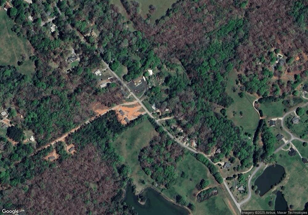
Map
Nearby Homes
- 164 Weeping Willow Dr
- 222 Weeping Willow Dr
- 1221 Historic Hwy 441 N
- 258 Eden Woods
- LOT 20 Eden Woods Rd
- 236 Mini Ranch Rd
- 1132 Sydney Ln
- 1126 Sydney Ln
- 361 N Hist Highway 441
- 405 Roper Dr
- 769 Edwards Rd
- 409 Roper Dr
- 880 Golf Course Rd
- 1091 Wind Dance Ct
- 643 Washington St
- 395 E Louise St
- 136 Sweetgrass Dr
- 0 Sweetgrass Dr Unit 7658111
- 0 Sweetgrass Dr Unit 7658113
- 253 Lacount Ln
- 2138 Double Bridge Rd
- 2070 Double Bridge Rd
- 2133 Double Bridge Rd
- 2120 Double Bridge Rd
- 2008 Double Bridge Rd
- 2052 Double Bridge Rd
- 1988 Double Bridge Rd
- 2243 Double Bridge Rd
- 2280 Double Bridge Rd
- 1968 Double Bridge Rd
- 2300 Double Bridge Rd
- 1850 Double Bridge Rd
- 1764 Double Bridge Rd
- 2299 Double Bridge Rd
- 2374 Double Bridge Rd
- 422 Lakewood Cove Dr
- 2371 Double Bridge Rd Unit 5A
- 2371 Double Bridge Rd
- 0 Lakewood Cove Unit LOT 14 7086141
- 0 Lakewood Cove Unit LOT 3 7086134