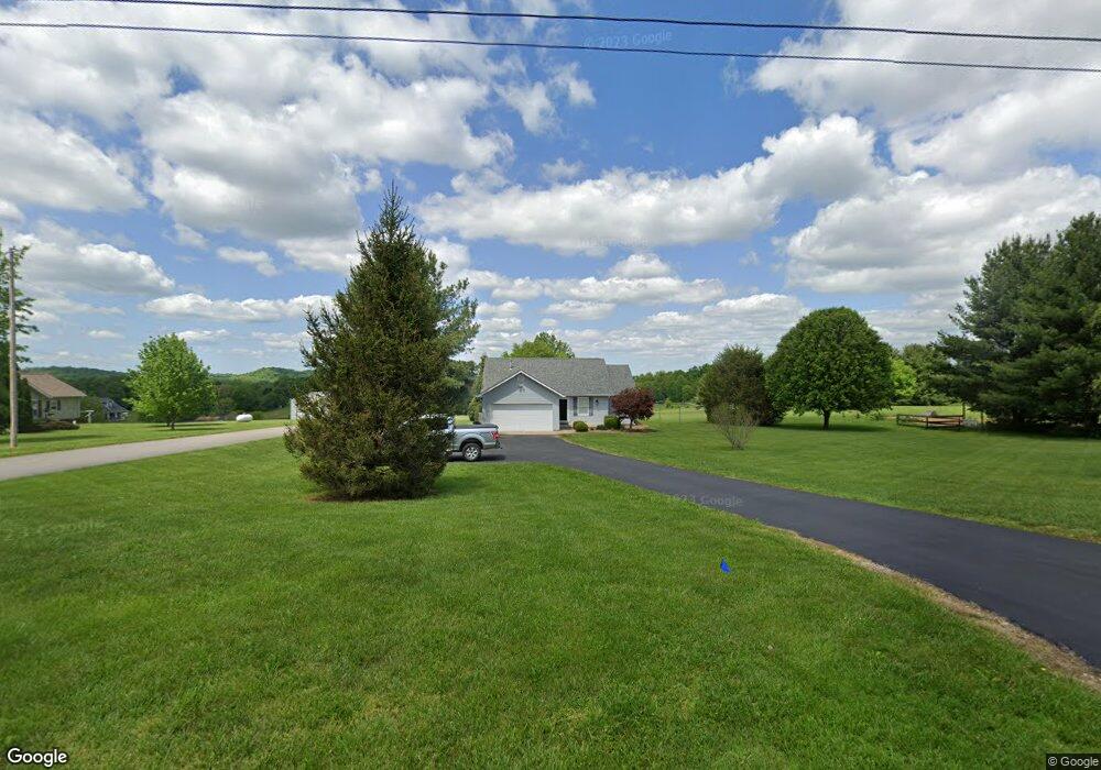
2090 Mathis Rd SW Corydon, IN 47112
Estimated Value: $263,000 - $393,000
3
Beds
2
Baths
1,313
Sq Ft
$230/Sq Ft
Est. Value
About This Home
This home is located at 2090 Mathis Rd SW, Corydon, IN 47112 and is currently estimated at $302,518, approximately $230 per square foot. 2090 Mathis Rd SW is a home located in Harrison County with nearby schools including Corydon Elementary School, Corydon Intermediate School, and Corydon Central Junior High School.
Ownership History
Date
Name
Owned For
Owner Type
Purchase Details
Closed on
Nov 29, 2016
Sold by
Ward Jo
Bought by
Crosier Allison
Current Estimated Value
Purchase Details
Closed on
Jun 3, 2010
Sold by
Quentin N Mowery
Bought by
Craig Lee Ward and Natalie Jo Ward
Purchase Details
Closed on
Aug 6, 2008
Sold by
Chris D Graves
Bought by
Quentin N Mowery
Create a Home Valuation Report for This Property
The Home Valuation Report is an in-depth analysis detailing your home's value as well as a comparison with similar homes in the area
Home Values in the Area
Average Home Value in this Area
Purchase History
| Date | Buyer | Sale Price | Title Company |
|---|---|---|---|
| Crosier Allison | $150,000 | -- | |
| Craig Lee Ward | $110,000 | Executive Title Company | |
| Quentin N Mowery | $120,000 | Simpson Thompson And Colin Ll |
Source: Public Records
Tax History Compared to Growth
Tax History
| Year | Tax Paid | Tax Assessment Tax Assessment Total Assessment is a certain percentage of the fair market value that is determined by local assessors to be the total taxable value of land and additions on the property. | Land | Improvement |
|---|---|---|---|---|
| 2024 | $1,306 | $230,300 | $53,000 | $177,300 |
| 2023 | $1,334 | $225,000 | $48,000 | $177,000 |
| 2022 | $1,510 | $228,600 | $40,500 | $188,100 |
| 2021 | $1,345 | $202,700 | $39,600 | $163,100 |
| 2020 | $1,201 | $183,700 | $37,100 | $146,600 |
| 2019 | $1,144 | $171,700 | $32,100 | $139,600 |
| 2018 | $988 | $155,000 | $32,100 | $122,900 |
| 2017 | $949 | $153,800 | $24,100 | $129,700 |
| 2016 | $843 | $146,800 | $24,100 | $122,700 |
| 2014 | $722 | $136,600 | $21,900 | $114,700 |
| 2013 | $722 | $137,000 | $21,900 | $115,100 |
Source: Public Records
Map
Nearby Homes
- Lot 19 Richmond Dr
- 117 Alabama Dr SE
- 23 Indiana 337
- 0 N Highway 337
- 0 N Highway 337 NE
- 1235 Highway 62 NW
- 104 Cook St
- 813 Woodland Ave
- 1477 Poplar Trace Way NW
- 1557 Cypress Cove NW
- 1555 Cypress Cove NW
- 1487 Poplar Trace Way NW
- 1052 Poplar Trace Way NW
- DUPONT Plan at Poplar Trace
- 1371 Poplar Trace Way NW
- 0 Atwood St Unit 2025012067
- 1052 Poplar Trace Way
- The Paislee Plan at Poplar Trace
- The Eleanor Plan at Poplar Trace
- The Bedford Plan at Poplar Trace
- 2100 Mathis Rd SW
- 2070 Mathis Rd SW
- 2110 Mathis Rd SW
- 999 Steam Engine Rd SW
- 2150 Mathis Rd SW
- 861 Steam Engine Rd SW
- 1025 Steam Engine Rd SW
- 2180 Mathis Rd SW
- 2190 Mathis Rd SW
- 2050 W Heidelberg Rd SW
- 0 Mathis Rd SW
- 1930 W Heidelberg Rd SW
- 1900 W Heidelberg Rd SW
- 0 Steam Engine Rd SW
- 1341 W Heidelberg Rd SW
- 779 Nicholas Dr SW
- 675 Steam Engine Rd SW
- 750 Steam Engine Rd SW
- 2343 Mathis Rd SW
- 720 Steam Engine Rd SW