2090 Mill St Lebanon, OR 97355
Estimated Value: $240,115 - $277,000
2
Beds
1
Bath
812
Sq Ft
$318/Sq Ft
Est. Value
About This Home
This home is located at 2090 Mill St, Lebanon, OR 97355 and is currently estimated at $258,558, approximately $318 per square foot. 2090 Mill St is a home located in Linn County with nearby schools including Riverview School, Seven Oak Middle School, and Lebanon High School.
Ownership History
Date
Name
Owned For
Owner Type
Purchase Details
Closed on
Feb 11, 2021
Sold by
Mcdowell Calvin L
Bought by
Mcdowell Calvin L
Current Estimated Value
Purchase Details
Closed on
Jan 13, 2021
Sold by
Mcdowell Calvin L
Bought by
Mcdowell Calvin L
Create a Home Valuation Report for This Property
The Home Valuation Report is an in-depth analysis detailing your home's value as well as a comparison with similar homes in the area
Home Values in the Area
Average Home Value in this Area
Purchase History
| Date | Buyer | Sale Price | Title Company |
|---|---|---|---|
| Mcdowell Calvin L | -- | None Listed On Document | |
| Mcdowell Calvin L | -- | None Available | |
| Mcdowell Calvin L | -- | None Listed On Document |
Source: Public Records
Tax History Compared to Growth
Tax History
| Year | Tax Paid | Tax Assessment Tax Assessment Total Assessment is a certain percentage of the fair market value that is determined by local assessors to be the total taxable value of land and additions on the property. | Land | Improvement |
|---|---|---|---|---|
| 2025 | $929 | $63,310 | -- | -- |
| 2024 | $905 | $61,470 | -- | -- |
| 2023 | $878 | $59,680 | $0 | $0 |
| 2022 | $860 | $57,950 | $0 | $0 |
| 2021 | $823 | $56,270 | $0 | $0 |
| 2020 | $807 | $54,640 | $0 | $0 |
| 2019 | $786 | $53,050 | $0 | $0 |
| 2018 | $766 | $51,510 | $0 | $0 |
| 2017 | $749 | $50,010 | $0 | $0 |
| 2016 | $732 | $48,560 | $0 | $0 |
| 2015 | $707 | $47,150 | $0 | $0 |
| 2014 | $692 | $45,780 | $0 | $0 |
Source: Public Records
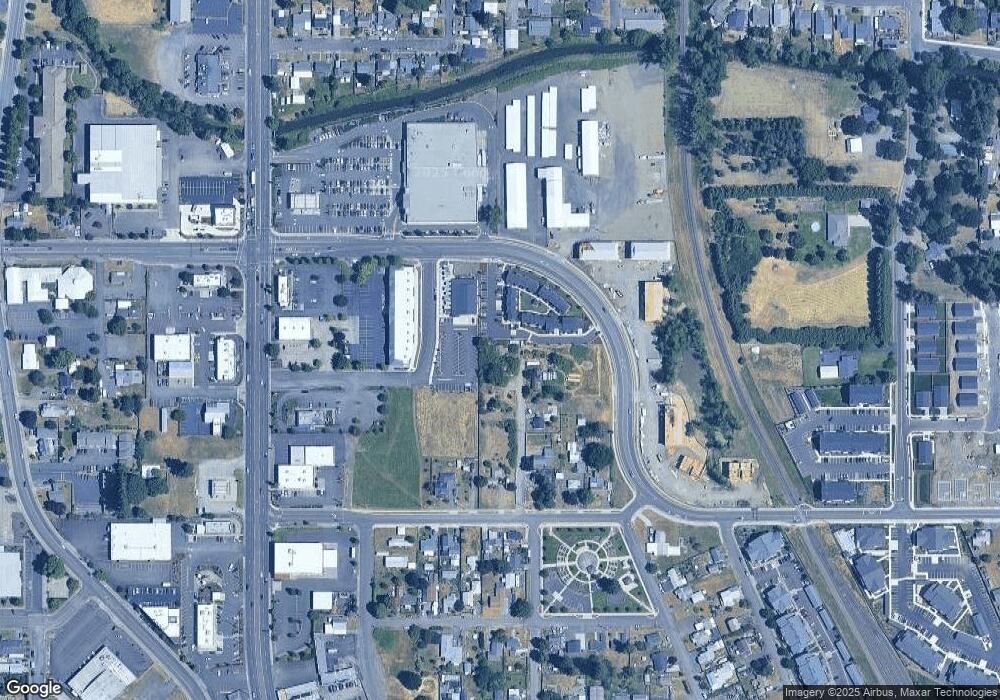
Map
Nearby Homes
- 2101 Primrose St
- 2187 Mill St
- 24 E Pine St
- 300 Water's Edge Ct
- 2464 Primrose St
- 357 Water's Edge Ct
- 371 Lydia Ln
- 1800 S 2nd St
- 1671 Cooper St
- 372 Jennings St
- 301 Russell St
- 1750 S 2nd St
- 1661 Cooper St
- 2100 Park Dr
- 372 Berry St
- 1400 Grove St
- 2645 Birch St
- 0 S Santiam (Lot Unit 102) Hwy
- 270 Hobbs St
- 2796 S Main (#26) Rd Unit 26
- 2110 Mill St
- 2070 Mill St
- 305 Russell Dr
- 2130 Mill St
- 2115 Mill St
- 200 E Airport Rd
- 2155 Mill St
- 52 E Airport Rd
- 52 E Airport Rd
- 52 E Airport Rd
- 40 E Airport Rd
- 28 E Airport Rd
- 195 Russell Dr
- 2175 Mill St
- 36 E Airport Rd
- 36 E Airport Rd
- 48 E Airport Rd
- 261 1/2 Russell Dr
- 143 Russell Dr
- 2201 Airport Rd