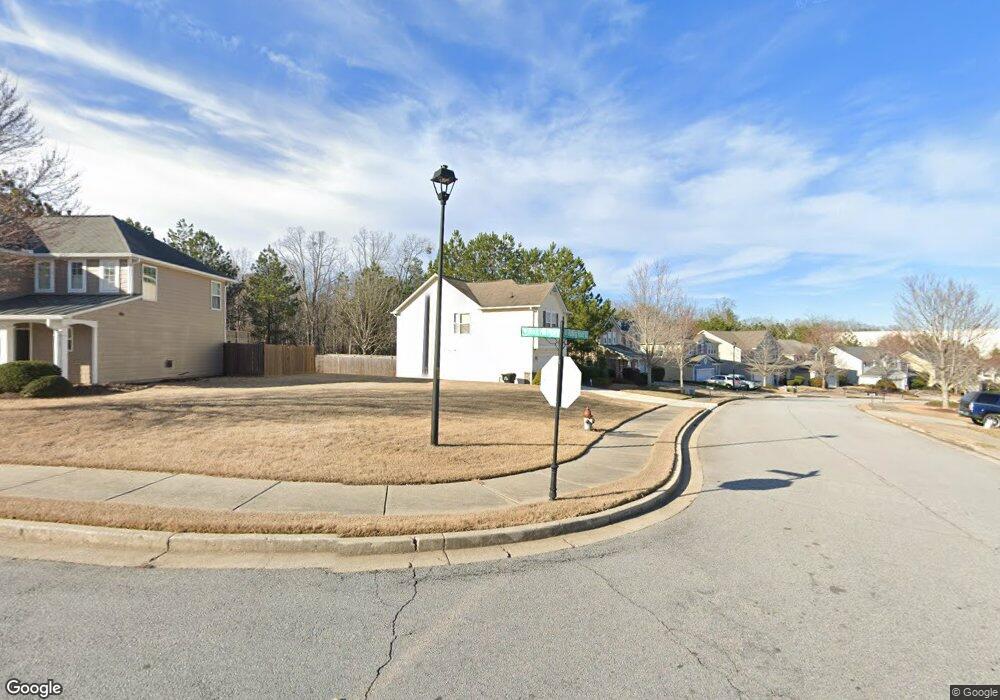
2090 Rolling Rock Ct Lithia Springs, GA 30122
Lithia Springs NeighborhoodEstimated Value: $301,888 - $336,000
3
Beds
3
Baths
1,933
Sq Ft
$162/Sq Ft
Est. Value
About This Home
This home is located at 2090 Rolling Rock Ct, Lithia Springs, GA 30122 and is currently estimated at $312,222, approximately $161 per square foot. 2090 Rolling Rock Ct is a home located in Douglas County with nearby schools including New Manchester Elementary School, Factory Shoals Middle School, and New Manchester High School.
Ownership History
Date
Name
Owned For
Owner Type
Purchase Details
Closed on
Oct 31, 2016
Sold by
Hollis Cheryl Estes
Bought by
Lawrence Jeffery
Current Estimated Value
Home Financials for this Owner
Home Financials are based on the most recent Mortgage that was taken out on this home.
Original Mortgage
$127,645
Outstanding Balance
$105,520
Interest Rate
4.4%
Mortgage Type
FHA
Estimated Equity
$206,702
Create a Home Valuation Report for This Property
The Home Valuation Report is an in-depth analysis detailing your home's value as well as a comparison with similar homes in the area
Home Values in the Area
Average Home Value in this Area
Purchase History
| Date | Buyer | Sale Price | Title Company |
|---|---|---|---|
| Lawrence Jeffery | $130,000 | -- |
Source: Public Records
Mortgage History
| Date | Status | Borrower | Loan Amount |
|---|---|---|---|
| Open | Lawrence Jeffery | $127,645 |
Source: Public Records
Tax History Compared to Growth
Tax History
| Year | Tax Paid | Tax Assessment Tax Assessment Total Assessment is a certain percentage of the fair market value that is determined by local assessors to be the total taxable value of land and additions on the property. | Land | Improvement |
|---|---|---|---|---|
| 2024 | $2,825 | $111,160 | $27,240 | $83,920 |
| 2023 | $2,825 | $111,160 | $27,240 | $83,920 |
| 2022 | $2,511 | $90,880 | $20,800 | $70,080 |
| 2021 | $2,054 | $67,840 | $12,480 | $55,360 |
| 2020 | $2,082 | $67,840 | $12,480 | $55,360 |
| 2019 | $1,922 | $65,680 | $12,480 | $53,200 |
| 2018 | $1,897 | $59,160 | $11,520 | $47,640 |
| 2017 | $1,705 | $52,920 | $11,400 | $41,520 |
| 2016 | $1,429 | $45,880 | $10,440 | $35,440 |
| 2015 | $1,338 | $44,680 | $10,440 | $34,240 |
| 2014 | $1,338 | $41,520 | $10,320 | $31,200 |
| 2013 | -- | $36,000 | $9,000 | $27,000 |
Source: Public Records
Map
Nearby Homes
- 973 Forest Knoll Ct
- 0 Rock House Rd Unit 10135378
- 00 Rock House Rd
- 2420 Valley Creek Dr
- 1920 Rock House Rd
- 2410 Summer Lake Rd
- 0 Harrison Dr Unit 7586288
- 0 Harrison Dr Unit 10530246
- 0 Summer Lake Rd Unit 7555282
- 0 Summer Lake Rd Unit 10495106
- 1657 Bradmere Ln
- 00 Six Flags Rd
- 9104 Hanover St
- 7621 Forest Glen Way Unit 2
- 1719 Cromwell Ln
- 9091 Hanover St
- 1606 Chancery Ln
- 147 Karim Terrace
- 0 Riverside Pkwy Unit 7336437
- 0 Riverside Pkwy
- 2090 Rolling Rock Ct
- 2096 Rolling Rock Ct
- 2080 Rolling Rock Ct
- 852 Rock Hill Pkwy
- 862 Rock Hill Pkwy
- 2070 Rolling Rock Ct
- 2083 Rolling Rock Ct
- 872 Rock Hill Pkwy
- 2060 Rolling Rock Ct
- 2063 Rolling Rock Ct
- 2093 Rolling Rock Ct
- 843 Rock Hill Pkwy
- 853 Rock Hill Pkwy
- 882 Rock Hill Pkwy
- 2053 Rolling Rock Ct
- 2111 Manchester Ct
- 2050 Rolling Rock Ct Unit 56
- 2050 Rolling Rock Ct
- 835 Rock Hill Pkwy
- 832 Rock Hill Pkwy