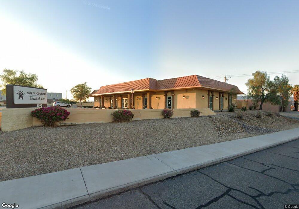
2090 Smoketree Ave N Lake Havasu City, AZ 86403
Estimated Value: $1,443,021
--
Bed
--
Bath
6,558
Sq Ft
$220/Sq Ft
Est. Value
About This Home
This home is located at 2090 Smoketree Ave N, Lake Havasu City, AZ 86403 and is currently estimated at $1,443,021, approximately $220 per square foot. 2090 Smoketree Ave N is a home located in Mohave County with nearby schools including Smoketree Elementary School, Thunderbolt Middle School, and Lake Havasu High School.
Ownership History
Date
Name
Owned For
Owner Type
Purchase Details
Closed on
Aug 2, 2022
Sold by
Warbyrd Llc
Bought by
Lhvc Llc
Current Estimated Value
Home Financials for this Owner
Home Financials are based on the most recent Mortgage that was taken out on this home.
Original Mortgage
$1,087,500
Outstanding Balance
$1,037,945
Interest Rate
5.3%
Mortgage Type
New Conventional
Estimated Equity
$405,076
Purchase Details
Closed on
Oct 24, 2001
Sold by
Nickolisen Robert S and Anderson Nancy Lynn
Bought by
Warbyrd Llc
Home Financials for this Owner
Home Financials are based on the most recent Mortgage that was taken out on this home.
Original Mortgage
$160,000
Interest Rate
7.18%
Mortgage Type
Commercial
Create a Home Valuation Report for This Property
The Home Valuation Report is an in-depth analysis detailing your home's value as well as a comparison with similar homes in the area
Home Values in the Area
Average Home Value in this Area
Purchase History
| Date | Buyer | Sale Price | Title Company |
|---|---|---|---|
| Lhvc Llc | $1,450,000 | Pioneer Title | |
| Warbyrd Llc | $220,000 | State Title Agency Inc |
Source: Public Records
Mortgage History
| Date | Status | Borrower | Loan Amount |
|---|---|---|---|
| Open | Lhvc Llc | $1,087,500 | |
| Previous Owner | Warbyrd Llc | $160,000 |
Source: Public Records
Tax History Compared to Growth
Tax History
| Year | Tax Paid | Tax Assessment Tax Assessment Total Assessment is a certain percentage of the fair market value that is determined by local assessors to be the total taxable value of land and additions on the property. | Land | Improvement |
|---|---|---|---|---|
| 2026 | $7,480 | -- | -- | -- |
| 2025 | $15,621 | $329,111 | $0 | $0 |
| 2024 | $15,621 | $273,304 | $0 | $0 |
| 2023 | $15,621 | $204,351 | $0 | $0 |
| 2022 | $15,389 | $202,420 | $0 | $0 |
| 2021 | $16,590 | $169,252 | $0 | $0 |
| 2019 | $15,717 | $209,441 | $0 | $0 |
| 2018 | $15,155 | $206,063 | $0 | $0 |
| 2017 | $15,000 | $169,865 | $0 | $0 |
| 2016 | $13,506 | $156,513 | $0 | $0 |
| 2015 | $13,251 | $136,726 | $0 | $0 |
Source: Public Records
Map
Nearby Homes
- 1989 Mesquite Ave Unit 74
- 1989 Mesquite Ave Unit 32
- 1989 Mesquite Ave Unit 17
- 1989 Mesquite Ave Unit 46
- 1957 Mesquite Ave Unit 23B
- 2085 Mesquite Ave Unit 64
- 2085 Mesquite Ave Unit 61
- 2095 Mesquite Ave Unit 19
- 2094 Mesquite Ave Unit 113
- 2094 Mesquite Ave Unit 126
- 2030 Mimosa Dr
- 2067 Palo Verde Blvd S
- 2075 Palo Verde Blvd S
- 155 El Rio Dr
- 89 Acoma Blvd N Unit 19
- 89 Acoma Blvd N
- 273 Acoma Blvd N
- 150 El Rio Dr
- 1926 Swanson Ave
- 1910 Swanson Ave Unit A22
- 2109 Injo Dr
- 2109 Injo Dr Unit B101
- 2109 Injo Dr
- 2109 Injo Dr Unit A102
- 2109 Injo Dr Unit A101
- 2060 Smoketree Ave N
- 2091 Smoketree Ave N Unit 103
- 2091 Smoketree Ave N
- 2091 Smoketree Ave N Unit 101
- 2105 Moyo
- Xx Injo Dr
- 2124 Moyo Dr Unit 3
- 2124 Moyo Dr
- 2125 Injo Dr
- 2117 Injo Dr
- 2115 Moyo Dr
- 2116 Injo Dr
- 2050 Smoketree Ave N
- 199 Smoketree Ave N
- 2095 Moyo Dr