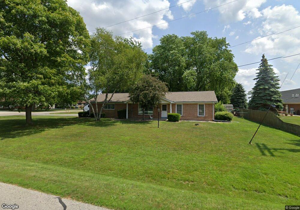
2090 Twin Oaks Blvd Saginaw, MI 48603
Estimated Value: $176,000 - $196,308
3
Beds
2
Baths
1,270
Sq Ft
$149/Sq Ft
Est. Value
About This Home
This home is located at 2090 Twin Oaks Blvd, Saginaw, MI 48603 and is currently estimated at $189,577, approximately $149 per square foot. 2090 Twin Oaks Blvd is a home located in Saginaw County with nearby schools including Arrowwood Elementary School, Westdale Elementary School, and White Pine Middle School.
Ownership History
Date
Name
Owned For
Owner Type
Purchase Details
Closed on
Mar 27, 2014
Sold by
Hamilton Dean A
Bought by
Breternity Amy L
Current Estimated Value
Purchase Details
Closed on
Jun 25, 2002
Sold by
Hamilton D A
Bought by
Hamilton D L and A L
Home Financials for this Owner
Home Financials are based on the most recent Mortgage that was taken out on this home.
Original Mortgage
$17,900
Interest Rate
6.8%
Mortgage Type
Credit Line Revolving
Purchase Details
Closed on
Feb 9, 1999
Sold by
Baird Elaine and Robertson Elaine
Bought by
Hamilton Dean A
Home Financials for this Owner
Home Financials are based on the most recent Mortgage that was taken out on this home.
Original Mortgage
$97,850
Interest Rate
6.92%
Mortgage Type
Purchase Money Mortgage
Create a Home Valuation Report for This Property
The Home Valuation Report is an in-depth analysis detailing your home's value as well as a comparison with similar homes in the area
Home Values in the Area
Average Home Value in this Area
Purchase History
| Date | Buyer | Sale Price | Title Company |
|---|---|---|---|
| Breternity Amy L | -- | -- | |
| Hamilton D L | -- | -- | |
| Hamilton Dean A | -- | -- | |
| Hamilton Dean A | $103,000 | -- |
Source: Public Records
Mortgage History
| Date | Status | Borrower | Loan Amount |
|---|---|---|---|
| Previous Owner | Hamilton Dean A | $17,900 | |
| Previous Owner | Hamilton Dean A | $97,850 |
Source: Public Records
Tax History Compared to Growth
Tax History
| Year | Tax Paid | Tax Assessment Tax Assessment Total Assessment is a certain percentage of the fair market value that is determined by local assessors to be the total taxable value of land and additions on the property. | Land | Improvement |
|---|---|---|---|---|
| 2025 | $2,271 | $81,200 | $0 | $0 |
| 2024 | $1,148 | $77,600 | $0 | $0 |
| 2023 | $1,093 | $69,300 | $0 | $0 |
| 2022 | $1,969 | $64,100 | $0 | $0 |
| 2021 | $1,817 | $61,500 | $0 | $0 |
| 2020 | $1,775 | $56,800 | $0 | $0 |
| 2019 | $1,698 | $52,200 | $7,200 | $45,000 |
| 2018 | $810 | $50,300 | $0 | $0 |
| 2017 | $1,504 | $49,400 | $0 | $0 |
| 2016 | $1,487 | $46,700 | $0 | $0 |
| 2014 | $1,472 | $47,800 | $0 | $39,800 |
| 2013 | -- | $49,700 | $0 | $0 |
Source: Public Records
Map
Nearby Homes
- 6419 Cranston Place
- 63 Bunny Trail
- 62 Bunny Trail
- 72 Bunny Trail
- 71 Bunny Trail
- 69 Bunny Trail
- 68 Bunny Trail
- 67 Bunny Trail
- 70 Bunny Trail
- 1900 Bunny Trail
- 79 Deer Trail
- 80 Deer Trail
- 58 Deer Trail
- 75 Foxwood Dr
- 73 Foxwood Dr
- 76 Foxwood Dr
- 6291 Stansbury Ln
- 74 Foxwood Dr
- 1439 Midland Rd
- 1839 Kingston Dr
- 6315 E Kearney Dr
- 2091 Twin Oaks Blvd
- 6299 E Kearney Dr
- 6330 E Kearney Dr
- 6350 E Kearney Dr
- 6316 E Kearney Dr
- 6366 W Berkshire Dr
- 6300 E Kearney Dr
- 6395 W Berkshire Dr
- 6384 W Berkshire Dr
- 6275 E Kearney Dr
- 6331 Cranston Place
- 6415 W Berkshire Dr
- 6349 Cranston Place
- 6315 Cranston Place
- 6367 Cranston Place
- 6400 State St
- 6400 W Berkshire Dr
- 2120 N Kearney Dr
- 6299 Cranston Place