Estimated Value: $170,000 - $195,000
3
Beds
2
Baths
1,404
Sq Ft
$133/Sq Ft
Est. Value
About This Home
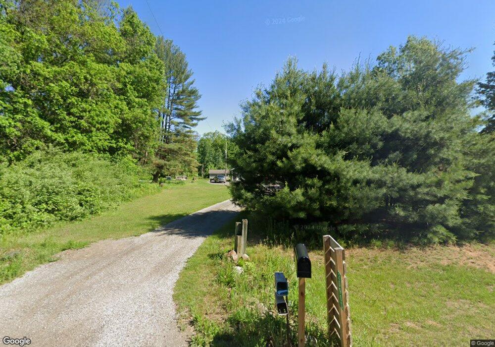
This home is located at 20900 Schroeder Rd, Brant, MI 48614 and is currently estimated at $186,746, approximately $133 per square foot. 20900 Schroeder Rd is a home located in Saginaw County with nearby schools including Merrill Elementary School, Merrill Middle School, and Merrill High School.
Ownership History
Date
Name
Owned For
Owner Type
Purchase Details
Closed on
Oct 1, 2021
Sold by
Root Craig A
Bought by
Czeiszperger Scott and Czeiszperger Bethany
Current Estimated Value
Purchase Details
Closed on
Jan 29, 2004
Sold by
Claxton Becky
Bought by
Countrywide Home Loans Inc
Purchase Details
Closed on
Jul 18, 2002
Sold by
Claxton Becky
Bought by
Countrywide Home Loans Inc
Purchase Details
Closed on
Jul 14, 1999
Sold by
Contimortgage Corp
Bought by
Claxton Becky
Home Financials for this Owner
Home Financials are based on the most recent Mortgage that was taken out on this home.
Original Mortgage
$78,959
Interest Rate
7.59%
Mortgage Type
FHA
Create a Home Valuation Report for This Property
The Home Valuation Report is an in-depth analysis detailing your home's value as well as a comparison with similar homes in the area
Home Values in the Area
Average Home Value in this Area
Purchase History
| Date | Buyer | Sale Price | Title Company |
|---|---|---|---|
| Czeiszperger Scott | $160,000 | None Available | |
| Countrywide Home Loans Inc | $106,227 | -- | |
| Countrywide Home Loans Inc | $88,769 | -- | |
| Claxton Becky | $79,000 | -- |
Source: Public Records
Mortgage History
| Date | Status | Borrower | Loan Amount |
|---|---|---|---|
| Previous Owner | Claxton Becky | $78,959 |
Source: Public Records
Tax History Compared to Growth
Tax History
| Year | Tax Paid | Tax Assessment Tax Assessment Total Assessment is a certain percentage of the fair market value that is determined by local assessors to be the total taxable value of land and additions on the property. | Land | Improvement |
|---|---|---|---|---|
| 2025 | $2,884 | $76,000 | $0 | $0 |
| 2024 | $826 | $75,800 | $0 | $0 |
| 2023 | $787 | $72,000 | $0 | $0 |
| 2022 | $2,705 | $68,400 | $0 | $0 |
| 2021 | $1,657 | $53,400 | $0 | $0 |
| 2020 | $1,604 | $47,400 | $0 | $0 |
| 2019 | $1,542 | $44,900 | $0 | $0 |
| 2018 | $433 | $39,500 | $0 | $0 |
| 2017 | $1,456 | $43,100 | $0 | $0 |
| 2016 | $1,445 | $39,600 | $0 | $0 |
| 2014 | -- | $44,200 | $0 | $37,400 |
| 2013 | -- | $42,100 | $0 | $0 |
Source: Public Records
Map
Nearby Homes
- 12091 S Meridian Rd
- 7585 S Steel Rd
- 19725 W Burt Rd
- 19465 Grabowski Rd
- 10210 S Brennan Rd
- 20100 Nelson Rd
- 10854 S Hemlock Rd
- 8700 S Hemlock Rd
- 21638 Roosevelt Rd
- 15530 Fowler Rd
- 00 Raucholz Rd
- 0 S Maywood Rd
- 16753 S Fenmore Rd
- 13271 S Hemlock Rd
- 14454 Raucholz Rd
- 13165 Ithaca Rd
- 9847 Oakley Rd
- V/L Roosevelt Rd
- 4190 S Raucholz Rd
- 12465 Fergus Rd
- 20900 W Schroeder Rd
- 10113 S Merrill Rd
- 20801 Schroeder Rd
- 10191 S Merrill Rd
- 20675 Schroeder Rd
- 9601 S Merrill Rd
- 9640 S Merrill Rd
- 20660 Schroeder Rd
- 9625 S Merrill Rd
- 9625 S Merrill Rd
- 20480 Schroeder Rd
- 20480 Schroeder Rd
- 20480 Schroeder Rd
- 9430 S Merrill Rd
- 20440 Schroeder Rd
- 9400 S Merrill Rd
- 0 S 0 Merrill Unit 223308
- 0 S 0 Merrill Unit 33457
- 0 S 0 Merrill Unit 51508
- 0 S 0 Merrill Unit 55317