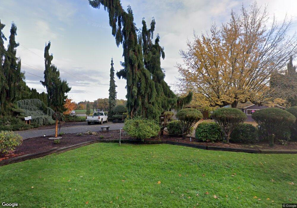
20901 SW Caleb Payne Rd McMinnville, OR 97128
Estimated Value: $584,748 - $801,000
2
Beds
1
Bath
936
Sq Ft
$725/Sq Ft
Est. Value
About This Home
This home is located at 20901 SW Caleb Payne Rd, McMinnville, OR 97128 and is currently estimated at $678,187, approximately $724 per square foot. 20901 SW Caleb Payne Rd is a home located in Yamhill County with nearby schools including Memorial Elementary School, Duniway Middle School, and McMinnville High School.
Ownership History
Date
Name
Owned For
Owner Type
Purchase Details
Closed on
Jan 11, 2007
Sold by
Stastny George J and Stastny Carolyn
Bought by
Mason Rivera Cristi
Current Estimated Value
Home Financials for this Owner
Home Financials are based on the most recent Mortgage that was taken out on this home.
Original Mortgage
$242,400
Interest Rate
6.21%
Mortgage Type
Purchase Money Mortgage
Create a Home Valuation Report for This Property
The Home Valuation Report is an in-depth analysis detailing your home's value as well as a comparison with similar homes in the area
Home Values in the Area
Average Home Value in this Area
Purchase History
| Date | Buyer | Sale Price | Title Company |
|---|---|---|---|
| Mason Rivera Cristi | $303,000 | Western Title & Escrow |
Source: Public Records
Mortgage History
| Date | Status | Borrower | Loan Amount |
|---|---|---|---|
| Previous Owner | Mason Rivera Cristi | $242,400 |
Source: Public Records
Tax History Compared to Growth
Tax History
| Year | Tax Paid | Tax Assessment Tax Assessment Total Assessment is a certain percentage of the fair market value that is determined by local assessors to be the total taxable value of land and additions on the property. | Land | Improvement |
|---|---|---|---|---|
| 2025 | $2,841 | $227,808 | -- | -- |
| 2024 | $2,768 | $221,173 | -- | -- |
| 2023 | $2,682 | $214,731 | $0 | $0 |
| 2022 | $2,623 | $208,477 | $0 | $0 |
| 2021 | $2,451 | $202,405 | $0 | $0 |
| 2020 | $2,383 | $196,510 | $0 | $0 |
| 2019 | $2,316 | $190,786 | $0 | $0 |
| 2018 | $2,249 | $185,229 | $0 | $0 |
| 2017 | $2,186 | $179,834 | $0 | $0 |
| 2016 | $2,147 | $174,596 | $0 | $0 |
| 2015 | $2,072 | $169,512 | $0 | $0 |
| 2014 | $2,073 | $168,169 | $0 | $0 |
Source: Public Records
Map
Nearby Homes
- 0 Red Hawk Ln Unit 2 297661896
- 24088 SW Highway 18
- 17300 SW Muddy Valley Rd
- 16780 SW Muddy Valley Rd
- 25560 SW Valley View Ln
- 21605 SW Cherry Hill Rd
- 20700 SW Cherry Hill Rd
- 245 NE Balm St
- 611 NE Bockes Loop
- 785 NE Blair St
- 0 SW Rock Creek Rd Unit 216113550
- 0 SW Rock Creek Rd Unit 827138
- 1429 NE Center St
- 347 NE Oak St
- 634 E Main St
- 515 SE Sheridan Rd
- 515 SE Sheridan Rd Unit 6
- 510 NE Hill St
- 503 SE Sheridan Rd Unit 8
- 1200 NE Center St Unit Par 1
- 20625 SW Highway 18
- 21050 SW Caleb Payne Rd
- 20500 SW Highway 18
- 21500 SW Caleb Payne Rd
- 21401 SW Highway 18
- 20215 SW Highway 18
- 21707 SW Latham Rd
- 21700 SW Highway 18
- 21680 SW Christensen Rd
- 21020 SW Christensen Rd
- 20825 SW Christensen Rd
- 21020 SW Christensen Rd
- 21301 SW Christensen Rd
- 21401 SW Christensen Rd
- 21700 SW Highway 18
- 20475 SW Christensen Rd
- 21625 SW Christensen Rd
- 22180 SW Dejong Rd
- 20800 SW Latham Rd
- 20165 SW Christensen Rd
