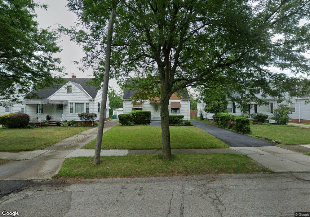
20904 Raymond St Maple Heights, OH 44137
Estimated Value: $95,000 - $116,000
3
Beds
1
Bath
1,092
Sq Ft
$94/Sq Ft
Est. Value
About This Home
This home is located at 20904 Raymond St, Maple Heights, OH 44137 and is currently estimated at $103,083, approximately $94 per square foot. 20904 Raymond St is a home located in Cuyahoga County with nearby schools including Abraham Lincoln Elementary School, Rockside/ J.F. Kennedy School, and Italy High School.
Ownership History
Date
Name
Owned For
Owner Type
Purchase Details
Closed on
Mar 15, 2021
Sold by
Gray Zareth Shahar
Bought by
Fivedot Properties Llc
Current Estimated Value
Home Financials for this Owner
Home Financials are based on the most recent Mortgage that was taken out on this home.
Original Mortgage
$60,000
Interest Rate
2.73%
Mortgage Type
Future Advance Clause Open End Mortgage
Purchase Details
Closed on
Oct 17, 2012
Sold by
Shaste Inc
Bought by
Gray Zareth Shahar
Home Financials for this Owner
Home Financials are based on the most recent Mortgage that was taken out on this home.
Original Mortgage
$47,150
Interest Rate
3.53%
Mortgage Type
New Conventional
Purchase Details
Closed on
May 19, 2008
Sold by
Novastar Mortgage Inc
Bought by
Shaste Inc
Purchase Details
Closed on
Apr 14, 2008
Sold by
Terry Raymond
Bought by
Novastar Mortgage Inc
Purchase Details
Closed on
Aug 30, 2006
Sold by
Lynch Christopher
Bought by
Terry Raymond
Home Financials for this Owner
Home Financials are based on the most recent Mortgage that was taken out on this home.
Original Mortgage
$95,400
Interest Rate
8.95%
Mortgage Type
Purchase Money Mortgage
Purchase Details
Closed on
Mar 6, 2006
Sold by
Abn Amro Mortgage Group Inc
Bought by
Lynch Christopher
Home Financials for this Owner
Home Financials are based on the most recent Mortgage that was taken out on this home.
Original Mortgage
$63,500
Interest Rate
6.37%
Mortgage Type
Purchase Money Mortgage
Purchase Details
Closed on
Sep 15, 2005
Sold by
Ashford Clarine and Cuyahoga County Treasurer
Bought by
Federal Home Loan Mortgage Corporation
Purchase Details
Closed on
Jul 27, 2005
Sold by
Federal Home Loan Mortgage Corporation
Bought by
Abn Amro Mortgage Group Inc
Purchase Details
Closed on
Feb 6, 2002
Sold by
Loria Frank J and Loria Charlotte J
Bought by
Ashford Clarine
Home Financials for this Owner
Home Financials are based on the most recent Mortgage that was taken out on this home.
Original Mortgage
$91,000
Interest Rate
7.24%
Purchase Details
Closed on
Jan 1, 1975
Bought by
Loria Frank J and Loria Charlotte
Create a Home Valuation Report for This Property
The Home Valuation Report is an in-depth analysis detailing your home's value as well as a comparison with similar homes in the area
Home Values in the Area
Average Home Value in this Area
Purchase History
| Date | Buyer | Sale Price | Title Company |
|---|---|---|---|
| Fivedot Properties Llc | $50,000 | Kingdom Title | |
| Gray Zareth Shahar | $52,500 | Equity Title Agency | |
| Shaste Inc | $30,000 | Fidelity Land Title Agency | |
| Novastar Mortgage Inc | $22,890 | Attorney | |
| Terry Raymond | $106,000 | Sherman | |
| Lynch Christopher | $58,000 | Nova | |
| Federal Home Loan Mortgage Corporation | $70,000 | Attorney | |
| Abn Amro Mortgage Group Inc | $82,900 | Nova | |
| Ashford Clarine | $83,800 | 21St Millennium Title & Escr | |
| Loria Frank J | -- | -- |
Source: Public Records
Mortgage History
| Date | Status | Borrower | Loan Amount |
|---|---|---|---|
| Closed | Fivedot Properties Llc | $60,000 | |
| Previous Owner | Gray Zareth Shahar | $47,150 | |
| Previous Owner | Terry Raymond | $95,400 | |
| Previous Owner | Lynch Christopher | $63,500 | |
| Previous Owner | Ashford Clarine | $91,000 |
Source: Public Records
Tax History Compared to Growth
Tax History
| Year | Tax Paid | Tax Assessment Tax Assessment Total Assessment is a certain percentage of the fair market value that is determined by local assessors to be the total taxable value of land and additions on the property. | Land | Improvement |
|---|---|---|---|---|
| 2024 | $2,869 | $30,520 | $7,000 | $23,520 |
| 2023 | $1,748 | $14,920 | $4,240 | $10,680 |
| 2022 | $1,742 | $14,910 | $4,240 | $10,680 |
| 2021 | $1,850 | $14,910 | $4,240 | $10,680 |
| 2020 | $1,598 | $11,310 | $3,220 | $8,090 |
| 2019 | $1,588 | $32,300 | $9,200 | $23,100 |
| 2018 | $1,579 | $11,310 | $3,220 | $8,090 |
| 2017 | $1,377 | $9,250 | $2,980 | $6,270 |
| 2016 | $1,483 | $9,250 | $2,980 | $6,270 |
| 2015 | $1,310 | $9,250 | $2,980 | $6,270 |
| 2014 | $1,310 | $10,160 | $3,260 | $6,900 |
Source: Public Records
Map
Nearby Homes
- 20907 Watson Rd
- 20814 Watson Rd
- 21102 Raymond St
- 20715 Watson Rd
- 21207 Franklin Rd
- 20814 Kenyon Dr
- 20701 Kenyon Dr
- 20120 Mccracken Rd
- 21416 Gardenview Dr
- 20510 Mountville Dr
- 20107 Libby Rd
- 19807 Gardenview Dr
- 19806 Mountville Dr
- 19520 Maple Heights Blvd
- 19812 Stockton Ave
- 19309 Nitra Ave
- 5165 Camden Rd
- 5285 Mardale Ave
- 5301 Mardale Ave
- 19289 Stafford Ave
- 20908 Raymond St
- 20900 Raymond St
- 20912 Raymond St
- 20814 Raymond St
- 20916 Raymond St
- 20903 Franklin Rd
- 20901 Franklin Rd
- 20905 Franklin Rd
- 20913 Franklin Rd
- 20810 Raymond St
- 21002 Raymond St
- 20917 Franklin Rd
- 20817 Franklin Rd
- 20903 Raymond St
- 20909 Raymond St
- 20913 Raymond St
- 20819 Raymond St
- 21006 Raymond St
- 20806 Raymond St
- 21001 Franklin Rd