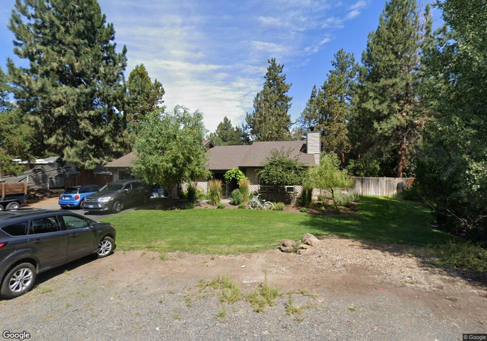
20906 King David Ave Bend, OR 97702
Old Farm District NeighborhoodEstimated Value: $629,577 - $668,000
3
Beds
2
Baths
1,412
Sq Ft
$460/Sq Ft
Est. Value
About This Home
This home is located at 20906 King David Ave, Bend, OR 97702 and is currently estimated at $649,894, approximately $460 per square foot. 20906 King David Ave is a home located in Deschutes County with nearby schools including Silver Rail Elementary School, High Desert Middle School, and Bend Senior High School.
Ownership History
Date
Name
Owned For
Owner Type
Purchase Details
Closed on
May 12, 2004
Sold by
Corcoran Doris J
Bought by
Sherman Deborah
Current Estimated Value
Home Financials for this Owner
Home Financials are based on the most recent Mortgage that was taken out on this home.
Original Mortgage
$164,000
Outstanding Balance
$79,002
Interest Rate
6%
Mortgage Type
Unknown
Estimated Equity
$570,892
Create a Home Valuation Report for This Property
The Home Valuation Report is an in-depth analysis detailing your home's value as well as a comparison with similar homes in the area
Home Values in the Area
Average Home Value in this Area
Purchase History
| Date | Buyer | Sale Price | Title Company |
|---|---|---|---|
| Sherman Deborah | -- | Western Title & Escrow Co |
Source: Public Records
Mortgage History
| Date | Status | Borrower | Loan Amount |
|---|---|---|---|
| Open | Sherman Deborah | $164,000 |
Source: Public Records
Tax History
| Year | Tax Paid | Tax Assessment Tax Assessment Total Assessment is a certain percentage of the fair market value that is determined by local assessors to be the total taxable value of land and additions on the property. | Land | Improvement |
|---|---|---|---|---|
| 2025 | $4,072 | $241,020 | -- | -- |
| 2024 | $3,918 | $234,000 | -- | -- |
| 2023 | $3,632 | $227,190 | $0 | $0 |
| 2022 | $3,389 | $214,160 | $0 | $0 |
| 2021 | $3,394 | $207,930 | $0 | $0 |
| 2020 | $3,220 | $207,930 | $0 | $0 |
| 2019 | $3,130 | $201,880 | $0 | $0 |
| 2018 | $3,042 | $196,000 | $0 | $0 |
| 2017 | $2,953 | $190,300 | $0 | $0 |
| 2016 | $2,816 | $184,760 | $0 | $0 |
| 2015 | $2,738 | $179,380 | $0 | $0 |
| 2014 | $2,657 | $174,160 | $0 | $0 |
Source: Public Records
Map
Nearby Homes
- 61325 King Josiah Place
- 20868 Tamar Ln
- 20977 Desert Woods Dr
- 61376 Robin Hood Ln
- 20873 Greenmont Dr
- 20783 Canterbury Ct
- 20743 Blacksmith Cir
- 20809 SE Westview Dr
- 61450 Little John Ln
- 20754 Canterbury Ct
- 20749 Canterbury Ct
- 61260 Sunflower Ln
- 61108 SE Stari Most Loop
- 20896 Gateway Dr
- 20657 Wild Goose Ln
- 20657 Couples Ln
- 61210 Larkspur Loop
- 61556 Twin Lakes Loop
- 61536 Ascha Rose Ct
- 20634 Hummingbird Ln
- 20898 King David Ave
- 20914 King David Ave
- 20915 King Hezekiah Way
- 61282 King Jeroboam Ave
- 20897 King David Ave
- 20913 King David Ave
- 20892 King David Ave
- 20922 King David Ave
- 20909 King Hezekiah Way
- 61281 King Jeroboam Ave
- 20919 King David Ave
- 20909 SE King Hezekiah Way
- 20923 King Hezekiah Way
- 61278 King Jeroboam Ave
- 20886 King David Ave
- 20932 King David Ave
- 20901 King Hezekiah Way
- 61271 King Zedekiah Ave
- 20887 King David Ave
- 61253 King Zedekiah Ave
Your Personal Tour Guide
Ask me questions while you tour the home.