2091 Double Branches Rd Elberton, GA 30635
Estimated Value: $262,000 - $379,000
3
Beds
3
Baths
2,275
Sq Ft
$144/Sq Ft
Est. Value
About This Home
This home is located at 2091 Double Branches Rd, Elberton, GA 30635 and is currently estimated at $327,100, approximately $143 per square foot. 2091 Double Branches Rd is a home located in Elbert County with nearby schools including Elbert County Primary School, Elbert County Elementary School, and Elbert County Middle School.
Ownership History
Date
Name
Owned For
Owner Type
Purchase Details
Closed on
Sep 24, 2009
Sold by
Burdette Blair P
Bought by
Burdette Russell N and Burdette Blair P
Current Estimated Value
Home Financials for this Owner
Home Financials are based on the most recent Mortgage that was taken out on this home.
Original Mortgage
$132,000
Outstanding Balance
$86,282
Interest Rate
5.1%
Mortgage Type
New Conventional
Estimated Equity
$240,818
Create a Home Valuation Report for This Property
The Home Valuation Report is an in-depth analysis detailing your home's value as well as a comparison with similar homes in the area
Home Values in the Area
Average Home Value in this Area
Purchase History
| Date | Buyer | Sale Price | Title Company |
|---|---|---|---|
| Burdette Russell N | -- | -- |
Source: Public Records
Mortgage History
| Date | Status | Borrower | Loan Amount |
|---|---|---|---|
| Open | Burdette Russell N | $132,000 |
Source: Public Records
Tax History Compared to Growth
Tax History
| Year | Tax Paid | Tax Assessment Tax Assessment Total Assessment is a certain percentage of the fair market value that is determined by local assessors to be the total taxable value of land and additions on the property. | Land | Improvement |
|---|---|---|---|---|
| 2024 | $3,238 | $137,026 | $6,919 | $130,107 |
| 2023 | $3,238 | $137,026 | $6,919 | $130,107 |
| 2022 | $2,608 | $110,767 | $4,119 | $106,648 |
| 2021 | $2,612 | $110,767 | $4,119 | $106,648 |
| 2020 | $2,432 | $91,480 | $3,295 | $88,185 |
| 2019 | $2,592 | $93,782 | $3,295 | $90,487 |
| 2018 | $2,354 | $82,914 | $3,295 | $79,619 |
| 2017 | $1,996 | $65,525 | $3,295 | $62,230 |
Source: Public Records
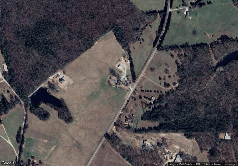
Map
Nearby Homes
- 2154 Far-A-way Rd
- 0 Far-A-way Rd
- 0 Far-A-way Rd Unit 1026251
- 2166 Far A Way Rd
- 0 Paul Motes Rd Unit 10631596
- 2023 Stephens Rd
- 1136 Flagstone Rd
- 0 Harmony Rd Unit 18771344
- 0 Allen Logan Rd Unit 22671131
- 1160 Plantation Rd
- 2109 Brewers Mill Rd
- 2126 Amberly Rd
- 1912 Ruckersville
- 1859 William Smith Rd
- 0 Anderson Hwy Unit 24629664
- 0 Anderson Hwy Unit 10536298
- 2920 Ruckersville Rd
- 2193 Ruckersville Rd
- 1661 G R Hayes Dr
- 1 Powerhouse Dr
- 2078 Double Branches Rd
- 2140 Double Branches Rd
- 2183 Anderson Hwy
- 2096 Double Branches Rd
- 2166 Pauline Daniels Rd
- 2164 Anderson Hwy
- 2197 Anderson Hwy
- 2205 Anderson Hwy
- 2177 Double Branches Rd
- 2224 Anderson Hwy
- 2162 Pauline Daniels Rd
- 2184 Anderson Hwy
- 2144 Anderson Hwy
- 2171 Norris Webb Rd
- 2101 Anderson Hwy
- 2255 Anderson Hwy
- 2157 Leon Bryant Rd
- 2100 Anderson Hwy
- 2138 Pauline Daniels Rd
- 1151 Bud Daniel Dr