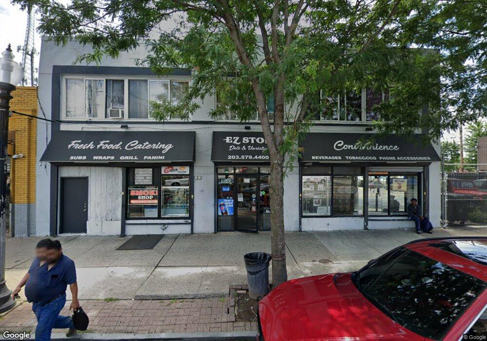
2091 Fairfield Ave Bridge Port, CT 06605
West End-West Side Neighborhood
--
Bed
--
Bath
6,700
Sq Ft
--
Built
About This Home
This home is located at 2091 Fairfield Ave, Bridge Port, CT 06605. 2091 Fairfield Ave is a home located in Fairfield County with nearby schools including Bassick High School, Park City Prep Charter School, and St. Ann Campus - Catholic Academy of Bridgeport.
Ownership History
Date
Name
Owned For
Owner Type
Purchase Details
Closed on
Nov 15, 1989
Sold by
Stock William
Bought by
Dragone Thomas
Create a Home Valuation Report for This Property
The Home Valuation Report is an in-depth analysis detailing your home's value as well as a comparison with similar homes in the area
Home Values in the Area
Average Home Value in this Area
Purchase History
| Date | Buyer | Sale Price | Title Company |
|---|---|---|---|
| Dragone Thomas | $100,000 | -- |
Source: Public Records
Mortgage History
| Date | Status | Borrower | Loan Amount |
|---|---|---|---|
| Closed | Dragone Thomas | $600,000 | |
| Closed | Dragone Thomas | $635,000 | |
| Closed | Dragone Thomas | $240,000 | |
| Closed | Dragone Thomas | $100,000 |
Source: Public Records
Tax History Compared to Growth
Tax History
| Year | Tax Paid | Tax Assessment Tax Assessment Total Assessment is a certain percentage of the fair market value that is determined by local assessors to be the total taxable value of land and additions on the property. | Land | Improvement |
|---|---|---|---|---|
| 2025 | $14,591 | $335,820 | $97,550 | $238,270 |
| 2024 | $14,591 | $335,820 | $97,550 | $238,270 |
| 2023 | $14,591 | $335,820 | $97,550 | $238,270 |
| 2022 | $14,591 | $335,820 | $97,550 | $238,270 |
| 2021 | $14,591 | $335,820 | $97,550 | $238,270 |
| 2020 | $15,507 | $287,220 | $54,320 | $232,900 |
| 2019 | $15,507 | $287,220 | $54,320 | $232,900 |
| 2018 | $15,616 | $287,220 | $54,320 | $232,900 |
| 2017 | $15,616 | $287,220 | $54,320 | $232,900 |
| 2016 | $15,616 | $287,220 | $54,320 | $232,900 |
| 2015 | $13,117 | $310,840 | $63,910 | $246,930 |
| 2014 | $13,117 | $310,840 | $63,910 | $246,930 |
Source: Public Records
Map
Nearby Homes
- 25 Whittier St
- 31 Whittier St
- 135 Whittier St
- 144 Whittier St
- 95 Bedford Ave
- 82 Waldorf Ave
- 47 Lenox Ave
- 195 Lenox Ave Unit 197
- 167 Scofield Ave
- 105 Scofield Ave
- 246 Lenox Ave
- 1059 Hancock Ave Unit 1061
- 118 Berwick Ave
- 222 Ellsworth St
- 368 Lenox Ave
- 500 Dewey St
- 255 Poplar St
- 130 Brentwood Ave
- 51 Princeton St
- 166 Alfred St
- 2075 Fairfield Ave
- 118 Albion St
- 110 Albion St
- 2060 Fairfield Ave
- 102 Albion St
- 92 Albion St
- 25 Burr Rd
- 25 Burr Rd Unit FIRST
- 2033 Fairfield Ave
- 135 Andover St
- 55 Burr Rd
- 645 Pine St
- 46 Burr Ct
- 99 Burr Rd Unit 101
- 34 Orland St Unit 38
- 34 Orland St Unit 1
- 56 Orland St Unit B
- 56 Orland St Unit A
- 56 Orland St Unit 58
- 56 Orland St Unit 1