2091 Morgantown Rd Uniontown, PA 15401
Estimated Value: $135,000 - $185,354
3
Beds
2
Baths
1,470
Sq Ft
$104/Sq Ft
Est. Value
About This Home
This home is located at 2091 Morgantown Rd, Uniontown, PA 15401 and is currently estimated at $152,339, approximately $103 per square foot. 2091 Morgantown Rd is a home located in Fayette County with nearby schools including Albert Gallatin Area Senior High School, St. John the Evangelist School, and Chestnut Ridge Christian Academy.
Ownership History
Date
Name
Owned For
Owner Type
Purchase Details
Closed on
Oct 8, 2013
Sold by
Hardin Cinda R
Bought by
Clark Brian K
Current Estimated Value
Home Financials for this Owner
Home Financials are based on the most recent Mortgage that was taken out on this home.
Original Mortgage
$76,530
Outstanding Balance
$57,573
Interest Rate
4.53%
Mortgage Type
New Conventional
Estimated Equity
$94,766
Create a Home Valuation Report for This Property
The Home Valuation Report is an in-depth analysis detailing your home's value as well as a comparison with similar homes in the area
Home Values in the Area
Average Home Value in this Area
Purchase History
| Date | Buyer | Sale Price | Title Company |
|---|---|---|---|
| Clark Brian K | $75,000 | None Available |
Source: Public Records
Mortgage History
| Date | Status | Borrower | Loan Amount |
|---|---|---|---|
| Open | Clark Brian K | $76,530 |
Source: Public Records
Tax History Compared to Growth
Tax History
| Year | Tax Paid | Tax Assessment Tax Assessment Total Assessment is a certain percentage of the fair market value that is determined by local assessors to be the total taxable value of land and additions on the property. | Land | Improvement |
|---|---|---|---|---|
| 2025 | $734 | $30,695 | $7,800 | $22,895 |
| 2024 | $734 | $30,695 | $7,800 | $22,895 |
| 2023 | $1,467 | $30,695 | $7,800 | $22,895 |
| 2022 | $1,467 | $30,695 | $7,800 | $22,895 |
| 2021 | $1,427 | $30,695 | $7,800 | $22,895 |
| 2020 | $1,427 | $30,695 | $7,800 | $22,895 |
| 2019 | $1,350 | $30,695 | $7,800 | $22,895 |
| 2018 | $1,350 | $30,695 | $7,800 | $22,895 |
| 2017 | $1,350 | $30,695 | $7,800 | $22,895 |
| 2016 | -- | $30,695 | $7,800 | $22,895 |
| 2015 | -- | $30,695 | $7,800 | $22,895 |
| 2014 | -- | $61,390 | $15,600 | $45,790 |
Source: Public Records
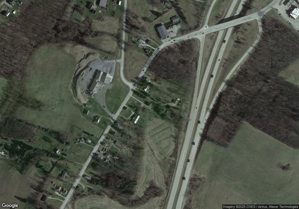
Map
Nearby Homes
- 2185 Morgantown Rd
- 0 Brownfield Rd Unit 10160173
- 0 Brownfield Rd Unit 1707349
- 160 Brownfield Ln
- 14 Amy Way
- 105 Luzerne Ave
- 87 Farmview Dr
- 337 Saratoga Dr
- 407 1st St
- 615 Morgantown Rd
- 130 Hibbs Ln
- 596 Morgantown Rd
- 120 Clay St
- 388 Derrick Ave
- 5 Th St Unit WP001
- 0 5th St Ofc
- 103 Concord Place
- 10 Wellington Dr
- 113 Washington Ave
- 34 Chestnut St
- 2095 Morgantown Rd
- 2075 Morgantown Rd
- 2087 Morgantown Rd
- 2099 Morgantown Rd
- 2105 Morgantown Rd
- 2072 Morgantown Rd
- 2086 Morgantown Rd
- 2068 Morgantown Rd
- 2090 Morgantown Rd
- 2060 Morgantown Rd
- 2119 Morgantown Rd
- 2010 Langley Rd
- 104 Allegheny Ln
- 2122 Morgantown Rd
- 2115 Morgantown Rd
- 3018 Langley Rd
- 105 Allegheny Ln
- 3004 Langley Rd
- 2007 Langley Rd
- 3010 Langley Rd