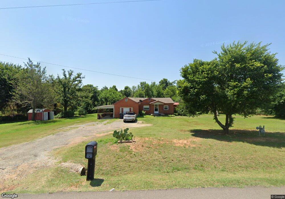
20912 Florence St Newalla, OK 74857
Edendale Estates-Newalla NeighborhoodEstimated Value: $118,504 - $168,000
2
Beds
1
Bath
572
Sq Ft
$260/Sq Ft
Est. Value
About This Home
This home is located at 20912 Florence St, Newalla, OK 74857 and is currently estimated at $148,626, approximately $259 per square foot. 20912 Florence St is a home located in Oklahoma County with nearby schools including Virginia Smith Elementary School, Russell Babb Elementary School, and Clara Reynolds Elementary School.
Ownership History
Date
Name
Owned For
Owner Type
Purchase Details
Closed on
Feb 29, 2008
Sold by
Wilkins Andrew J and Wilkins Sarah R
Bought by
Childers Jeff and Childers Sheila K
Current Estimated Value
Purchase Details
Closed on
Apr 27, 2007
Sold by
Wilkins Andrew J and Wilkins Sarah R
Bought by
Wilkins Andrew J and Wilkins Sarah R
Purchase Details
Closed on
Nov 17, 2004
Sold by
Murry Ellen Yvonne
Bought by
Wilkins Andrew J
Create a Home Valuation Report for This Property
The Home Valuation Report is an in-depth analysis detailing your home's value as well as a comparison with similar homes in the area
Home Values in the Area
Average Home Value in this Area
Purchase History
| Date | Buyer | Sale Price | Title Company |
|---|---|---|---|
| Childers Jeff | $80,000 | Lawyers Title Of Ok City Inc | |
| Wilkins Andrew J | -- | None Available | |
| Wilkins Andrew J | $1,000 | None Available | |
| Wilkins Andrew J | $48,000 | Stewart Escrow & Title Midwe |
Source: Public Records
Tax History Compared to Growth
Tax History
| Year | Tax Paid | Tax Assessment Tax Assessment Total Assessment is a certain percentage of the fair market value that is determined by local assessors to be the total taxable value of land and additions on the property. | Land | Improvement |
|---|---|---|---|---|
| 2024 | $739 | $7,257 | $2,890 | $4,367 |
| 2023 | $739 | $6,912 | $2,683 | $4,229 |
| 2022 | $717 | $6,583 | $634 | $5,949 |
| 2021 | $851 | $6,270 | $1,016 | $5,254 |
| 2020 | $696 | $6,380 | $1,016 | $5,364 |
| 2019 | $741 | $6,600 | $1,016 | $5,584 |
| 2018 | $801 | $6,765 | $0 | $0 |
| 2017 | $806 | $6,764 | $1,016 | $5,748 |
| 2016 | $771 | $7,094 | $1,016 | $6,078 |
| 2015 | $815 | $7,361 | $1,016 | $6,345 |
| 2014 | $823 | $7,465 | $1,509 | $5,956 |
Source: Public Records
Map
Nearby Homes
- 0 Halifax St
- 4600 S Harrah Rd
- 29049 Oilfield Trash Rd
- 4332 Titan Terrace
- 3816 Ada Ave
- 3881 River Mist Lake Dr
- 21086 River Mist Dr
- 21094 River Mist Dr
- RC Wright Plan at River Mist
- RC Carnegie II Plan at River Mist
- RC Kinsley II Plan at River Mist
- RC Lowell II Plan at River Mist
- RC Coleman Plan at River Mist
- RC Raleigh Plan at River Mist
- RC Foster II Plan at River Mist
- 3880 Louthea Ln
- 21097 Rivermist Dr
- 3833 Dove Ave
- 4353 Titan Terrace
- 3600 S Harrah Rd
- 20913 Reland St
- 6100 Lennon St
- 20905 Reland St
- 20901 Florence St
- 20915 Reland St
- 20912 Reland St
- 6001 S Harrah Rd Unit D
- 20920 SE 59th St
- 20900 Reland St
- 20900 SE 59th St
- 20821 Reland St
- 0 7a Unit 767659
- 0 Rr 1 Unit 783535
- 20921 Halifax St
- 6001 Lennon St
- 20813 Florence St
- 20816 SE 59th St
- 20820 Florence St
- 21001 SE 59th St
- 6100 Old Town St