20913 Snag Island Dr E Lake Tapps, WA 98391
Estimated Value: $2,138,190 - $2,854,000
4
Beds
5
Baths
5,085
Sq Ft
$468/Sq Ft
Est. Value
About This Home
This home is located at 20913 Snag Island Dr E, Lake Tapps, WA 98391 and is currently estimated at $2,378,397, approximately $467 per square foot. 20913 Snag Island Dr E is a home located in Pierce County with nearby schools including Dieringer Heights Elementary School, Lake Tapps Elementary School, and North Tapps Middle School.
Ownership History
Date
Name
Owned For
Owner Type
Purchase Details
Closed on
Mar 5, 2013
Sold by
Ellis Kathryn A
Bought by
Guiley Robert and Guiley Sandra
Current Estimated Value
Purchase Details
Closed on
Mar 28, 1996
Sold by
Blakely Glenna I
Bought by
Eliason Kevin E and Eliason Kristin C
Home Financials for this Owner
Home Financials are based on the most recent Mortgage that was taken out on this home.
Original Mortgage
$314,100
Interest Rate
5.25%
Create a Home Valuation Report for This Property
The Home Valuation Report is an in-depth analysis detailing your home's value as well as a comparison with similar homes in the area
Home Values in the Area
Average Home Value in this Area
Purchase History
| Date | Buyer | Sale Price | Title Company |
|---|---|---|---|
| Guiley Robert | $700,000 | Wfg National Title Company | |
| Eliason Kevin E | $349,000 | -- |
Source: Public Records
Mortgage History
| Date | Status | Borrower | Loan Amount |
|---|---|---|---|
| Previous Owner | Eliason Kevin E | $314,100 |
Source: Public Records
Tax History Compared to Growth
Tax History
| Year | Tax Paid | Tax Assessment Tax Assessment Total Assessment is a certain percentage of the fair market value that is determined by local assessors to be the total taxable value of land and additions on the property. | Land | Improvement |
|---|---|---|---|---|
| 2025 | $21,670 | $2,378,900 | $1,526,000 | $852,900 |
| 2024 | $21,670 | $2,336,400 | $1,491,500 | $844,900 |
| 2023 | $21,670 | $2,176,100 | $1,441,200 | $734,900 |
| 2022 | $20,455 | $2,216,200 | $1,407,700 | $808,500 |
| 2021 | $19,226 | $1,470,100 | $930,100 | $540,000 |
| 2019 | $16,852 | $1,437,100 | $940,100 | $497,000 |
| 2018 | $17,902 | $1,318,800 | $855,300 | $463,500 |
| 2017 | $16,390 | $1,151,200 | $718,200 | $433,000 |
| 2016 | $14,096 | $916,400 | $541,900 | $374,500 |
| 2014 | $7,217 | $887,400 | $522,300 | $365,100 |
| 2013 | $7,217 | $856,500 | $509,200 | $347,300 |
Source: Public Records
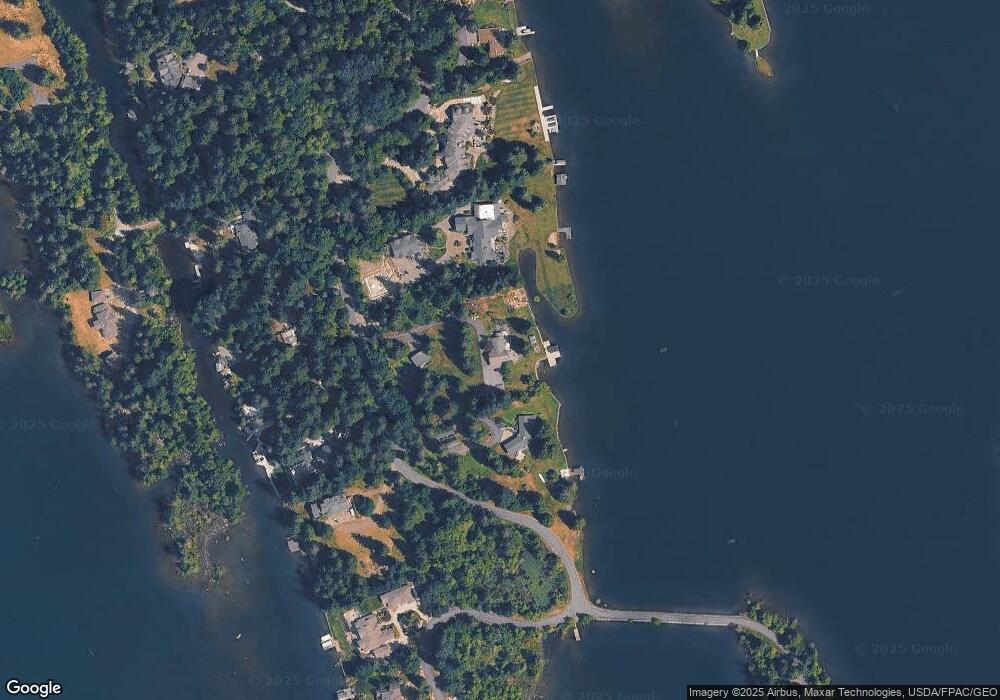
Map
Nearby Homes
- 21028 Snag Island Dr E
- 4713 N Island Dr E
- 19506 56th St E
- 20109 Cascade Dr E
- 19234 54th St E
- 3418 204th Avenue Ct E
- 5329 S Vista Dr E
- 19114 60th St E
- 21501 60th St E
- 20714 61st St E
- 21305 62nd Street Ct E
- 20204 Island Pkwy E
- 5856 190th Avenue Ct E
- 4914 Jenks Point Way E
- 6214 207th Ave E
- 19514 S Tapps Dr E
- 5706 188th Ave E
- 6598 Vandermark Rd E
- 6102 190th Ave E
- 20705 64th St E
- 20913 Snag Island Dr
- 20909 Snag Island Dr E
- 20921 Snag Island Dr E
- 20916 Snag Island Dr
- 20925 Snag Island Dr E
- 20925 Snag Island Dr
- 20920 Snag Island Dr
- 20914 Snag Island Dr E
- 20924 Snag Island Dr
- 20910 Snag Island Dr E
- 21009 Snag Island Dr
- 20906 Snag Island Dr
- 21004 Snag Island Dr E
- 21012 Snag Island Dr E
- 21013 Snag Island Dr E
- 20902 Snag Island Dr E
- 21129 Snag Island Dr E
- 21128 Snag Island Dr E
- 21017 Snag Island Dr
- 21017 Snag Island Dr E