20915 NE 212th Ave Battle Ground, WA 98604
Estimated Value: $654,000 - $958,000
3
Beds
2
Baths
1,584
Sq Ft
$499/Sq Ft
Est. Value
About This Home
This home is located at 20915 NE 212th Ave, Battle Ground, WA 98604 and is currently estimated at $790,258, approximately $498 per square foot. 20915 NE 212th Ave is a home located in Clark County with nearby schools including Tukes Valley Primary School, Tukes Valley Middle School, and Battle Ground High School.
Ownership History
Date
Name
Owned For
Owner Type
Purchase Details
Closed on
Oct 19, 2023
Sold by
Howard Mark F and Howard Judith L
Bought by
Howard Family Trust and Howard
Current Estimated Value
Purchase Details
Closed on
May 25, 2004
Sold by
Howard Mark F
Bought by
Howard Mark F and Howard Judith L
Purchase Details
Closed on
Nov 18, 2002
Sold by
Keister Dale C and Obrien Keister Kelly J
Bought by
Howard Mark F
Home Financials for this Owner
Home Financials are based on the most recent Mortgage that was taken out on this home.
Original Mortgage
$189,000
Interest Rate
5.89%
Mortgage Type
VA
Purchase Details
Closed on
Jul 1, 1991
Sold by
Ringo Gene C and Ringo Barbara
Bought by
Keister Dale C and Obrien Keister Kelly J
Create a Home Valuation Report for This Property
The Home Valuation Report is an in-depth analysis detailing your home's value as well as a comparison with similar homes in the area
Home Values in the Area
Average Home Value in this Area
Purchase History
| Date | Buyer | Sale Price | Title Company |
|---|---|---|---|
| Howard Family Trust | -- | None Listed On Document | |
| Howard Mark F | -- | Clark County Title | |
| Howard Mark F | $189,000 | Clark County Title | |
| Keister Dale C | -- | First American Title Ins Co |
Source: Public Records
Mortgage History
| Date | Status | Borrower | Loan Amount |
|---|---|---|---|
| Previous Owner | Howard Mark F | $189,000 |
Source: Public Records
Tax History Compared to Growth
Tax History
| Year | Tax Paid | Tax Assessment Tax Assessment Total Assessment is a certain percentage of the fair market value that is determined by local assessors to be the total taxable value of land and additions on the property. | Land | Improvement |
|---|---|---|---|---|
| 2025 | $5,748 | $730,093 | $321,288 | $408,805 |
| 2024 | $5,273 | $690,072 | $321,288 | $368,784 |
| 2023 | $5,554 | $726,891 | $335,306 | $391,585 |
| 2022 | $5,121 | $700,075 | $309,388 | $390,687 |
| 2021 | $5,165 | $561,943 | $221,124 | $340,819 |
| 2020 | $5,044 | $518,919 | $236,474 | $282,445 |
| 2019 | $4,419 | $494,249 | $223,042 | $271,207 |
| 2018 | $5,197 | $497,231 | $0 | $0 |
| 2017 | $4,378 | $445,580 | $0 | $0 |
| 2016 | $4,342 | $409,557 | $0 | $0 |
| 2015 | $4,380 | $372,761 | $0 | $0 |
| 2014 | -- | $355,782 | $0 | $0 |
| 2013 | -- | $320,924 | $0 | $0 |
Source: Public Records
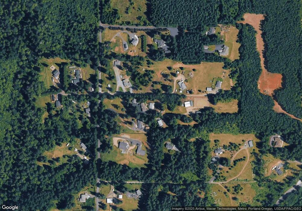
Map
Nearby Homes
- 0 NE 212th Ave
- 21017 NE Risto Rd
- 22400 NE 216th Cir
- 20502 NE 225th Ave
- 22414 NE 200th St
- 19119 NE 204th Ave
- 18717 NE 208th Ct
- 20304 NE 237th Ave
- 20205 NE 190th Ave
- 20015 NE 234th St
- 21821 NE Rock Creek Canyon Rd
- 24104 NE 199th St
- 23417 NE Canyon Rd
- 24415 NE 219th St
- 24312 NE 224th St
- 18426 NE 191st Cir
- 19911 NE 179th Ct
- 17401 NE 217th Ave
- 20607 NE Allworth Rd
- 19815 NE Allworth Rd
- 20903 NE 212th Ave
- 21013 NE 212th Ave
- 21009 NE 212th Ave
- 20815 NE 212th Ave
- 0 NE 212th Ave
- 21406 NE 207th St
- 20908 NE 212th Ave
- 21201 NE 212th Ave
- 21213 NE 212th Ave
- 21018 NE 212th Ave
- 20802 NE 212th Ave
- 21012 NE 212th Ave
- 21600 NE 207th St
- 26913 NE 207th St
- 21014 NE 212th Ave
- 21217 NE 212th Ave
- 21221 NE 212th Ave
- 20614 NE 212th Ave
- 21411 NE 207th St