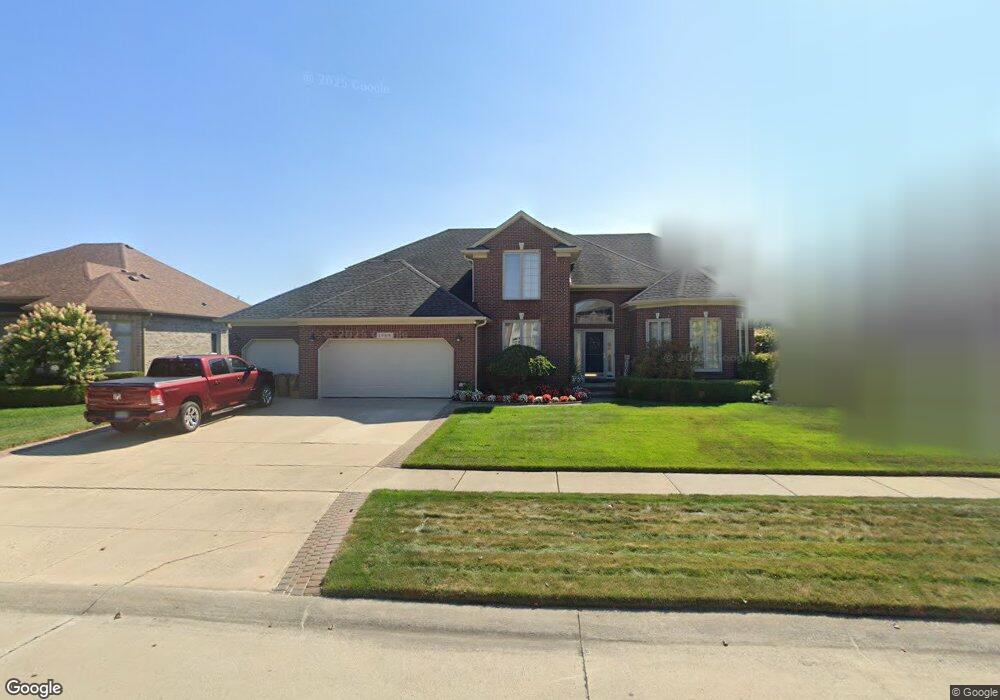
20916 Addison Dr Macomb, MI 48044
Estimated Value: $504,000 - $636,000
4
Beds
3
Baths
3,293
Sq Ft
$169/Sq Ft
Est. Value
About This Home
This home is located at 20916 Addison Dr, Macomb, MI 48044 and is currently estimated at $557,819, approximately $169 per square foot. 20916 Addison Dr is a home located in Macomb County with nearby schools including Cheyenne Elementary School, Seneca Middle School, and Dakota High School.
Ownership History
Date
Name
Owned For
Owner Type
Purchase Details
Closed on
Oct 8, 2015
Sold by
Wiegand Daniel T and Wiegand Barbara L
Bought by
Daniel T Wiegand & Barbara L Wiegand Tru
Current Estimated Value
Purchase Details
Closed on
Jan 24, 2002
Sold by
Cornerstone Land Develop
Bought by
Wiegand Daniel T
Home Financials for this Owner
Home Financials are based on the most recent Mortgage that was taken out on this home.
Original Mortgage
$255,012
Interest Rate
6.95%
Mortgage Type
Purchase Money Mortgage
Purchase Details
Closed on
Nov 16, 2000
Sold by
Gtr Builders Inc
Bought by
Cornerstone Land Development Co
Create a Home Valuation Report for This Property
The Home Valuation Report is an in-depth analysis detailing your home's value as well as a comparison with similar homes in the area
Home Values in the Area
Average Home Value in this Area
Purchase History
| Date | Buyer | Sale Price | Title Company |
|---|---|---|---|
| Daniel T Wiegand & Barbara L Wiegand Tru | -- | Attorney | |
| Wiegand Daniel T | $88,250 | -- | |
| Cornerstone Land Development Co | $77,474 | -- |
Source: Public Records
Mortgage History
| Date | Status | Borrower | Loan Amount |
|---|---|---|---|
| Previous Owner | Wiegand Daniel T | $255,012 |
Source: Public Records
Tax History
| Year | Tax Paid | Tax Assessment Tax Assessment Total Assessment is a certain percentage of the fair market value that is determined by local assessors to be the total taxable value of land and additions on the property. | Land | Improvement |
|---|---|---|---|---|
| 2025 | $4,644 | $278,100 | $0 | $0 |
| 2024 | $45 | $251,700 | $0 | $0 |
| 2023 | $4,283 | $226,400 | $0 | $0 |
| 2022 | $5,320 | $201,100 | $0 | $0 |
| 2021 | $5,177 | $187,600 | $0 | $0 |
| 2020 | $3,930 | $184,000 | $0 | $0 |
| 2019 | $4,789 | $175,200 | $0 | $0 |
| 2018 | $4,688 | $170,200 | $0 | $0 |
| 2017 | $4,592 | $163,290 | $34,500 | $128,790 |
| 2016 | $4,356 | $163,290 | $0 | $0 |
| 2015 | $4,298 | $153,910 | $0 | $0 |
| 2014 | $4,298 | $140,040 | $23,500 | $116,540 |
| 2011 | $786 | $138,370 | $20,500 | $117,870 |
Source: Public Records
Map
Nearby Homes
- 20776 Wexford Dr
- 21122 Summerfield Dr
- 48767 Brittany Parc Dr
- 21220 Briar Rose Dr
- 21258 Fairfield Dr
- 21254 Clayton Dr
- 20218 Glenview Ct
- 21370 Carlton Dr
- 21559 Waverly Dr
- 20580 21 Mile Rd
- 48274 Beacon Square Dr
- 20350 Hummingbird Ln
- 48498 Beacon Square Dr
- 46856 Jewel Unit 8
- 49287 London Bridge Dr
- 19852 Keats Ct
- 49281 Lehr Dr
- 46569 Cheylade Dr
- 47848 Card Rd
- 21310 Boquet Dr
- 20898 Addison Dr
- 20934 Addison Dr
- 20879 Strawberry Hills Dr
- 20895 Strawberry Hills Dr
- 20880 Addison Dr
- 20952 Addison Dr
- 20911 Strawberry Hills Dr
- 20863 Strawberry Hills Dr
- 20925 Addison Dr
- 20907 Addison Dr
- 48359 Brittany Parc Dr
- 20889 Addison Dr
- 20862 Addison Dr
- 20927 Strawberry Hills Dr
- 20970 Addison Dr
- 20871 Addison Dr
- 48381 Brittany Parc Dr
- 48203 Feral Dr
- 20943 Strawberry Hills Dr
- 48176 Feral Dr
Your Personal Tour Guide
Ask me questions while you tour the home.