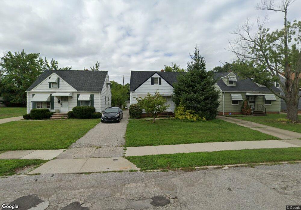
20917 Franklin Rd Maple Heights, OH 44137
Estimated Value: $102,000 - $119,000
3
Beds
1
Bath
1,092
Sq Ft
$99/Sq Ft
Est. Value
About This Home
This home is located at 20917 Franklin Rd, Maple Heights, OH 44137 and is currently estimated at $108,418, approximately $99 per square foot. 20917 Franklin Rd is a home located in Cuyahoga County with nearby schools including Abraham Lincoln Elementary School, Rockside/ J.F. Kennedy School, and Barack Obama School.
Ownership History
Date
Name
Owned For
Owner Type
Purchase Details
Closed on
Aug 29, 1996
Sold by
Greenfelde Donald Joseph
Bought by
Holland Stephanie C
Current Estimated Value
Home Financials for this Owner
Home Financials are based on the most recent Mortgage that was taken out on this home.
Original Mortgage
$63,395
Outstanding Balance
$5,492
Interest Rate
8.3%
Mortgage Type
FHA
Estimated Equity
$102,926
Purchase Details
Closed on
Aug 17, 1978
Sold by
Greenfelder Donald J and M A
Bought by
Greenfelder Donald Joseph
Purchase Details
Closed on
Jan 1, 1975
Bought by
Greenfelder Donald J and M A
Create a Home Valuation Report for This Property
The Home Valuation Report is an in-depth analysis detailing your home's value as well as a comparison with similar homes in the area
Home Values in the Area
Average Home Value in this Area
Purchase History
| Date | Buyer | Sale Price | Title Company |
|---|---|---|---|
| Holland Stephanie C | $65,000 | -- | |
| Greenfelder Donald Joseph | -- | -- | |
| Greenfelder Donald J | -- | -- |
Source: Public Records
Mortgage History
| Date | Status | Borrower | Loan Amount |
|---|---|---|---|
| Open | Holland Stephanie C | $63,395 |
Source: Public Records
Tax History
| Year | Tax Paid | Tax Assessment Tax Assessment Total Assessment is a certain percentage of the fair market value that is determined by local assessors to be the total taxable value of land and additions on the property. | Land | Improvement |
|---|---|---|---|---|
| 2024 | $2,829 | $30,800 | $7,000 | $23,800 |
| 2023 | $2,004 | $18,140 | $4,240 | $13,900 |
| 2022 | $1,997 | $18,130 | $4,240 | $13,900 |
| 2021 | $2,125 | $18,130 | $4,240 | $13,900 |
| 2020 | $1,827 | $13,760 | $3,220 | $10,540 |
| 2019 | $1,816 | $39,300 | $9,200 | $30,100 |
| 2018 | $1,680 | $13,760 | $3,220 | $10,540 |
| 2017 | $1,687 | $12,360 | $2,980 | $9,380 |
| 2016 | $1,632 | $12,360 | $2,980 | $9,380 |
| 2015 | $1,621 | $12,360 | $2,980 | $9,380 |
| 2014 | $1,621 | $13,590 | $3,260 | $10,330 |
Source: Public Records
Map
Nearby Homes
- 20905 Clare Ave
- 21207 Franklin Rd
- 21202 Hillgrove Ave
- 20715 Watson Rd
- 20806 Clare Ave
- 20517 Raymond St
- 20600 Watson Rd
- 20705 Hansen Rd
- 5147 Warrensville Center Rd
- 21600 Franklin Rd
- 21202 Gardenview Dr
- 19931 Raymond St
- 21607 Libby Rd
- 21860 Louis Rd
- 19520 Maple Heights Blvd
- 0 Miles Rd Unit 5188561
- 5165 Camden Rd
- 19289 Stafford Ave
- 5194 Homewood Ave
- 18990 Raymond St
- 21001 Franklin Rd
- 20913 Franklin Rd
- 20905 Franklin Rd
- 21005 Franklin Rd
- 21009 Franklin Rd
- 20903 Franklin Rd
- 20916 Raymond St
- 21002 Raymond St
- 20912 Raymond St
- 20908 Raymond St
- 21006 Raymond St
- 20901 Franklin Rd
- 21013 Franklin Rd
- 20916 Franklin Rd
- 20904 Raymond St
- 21000 Franklin Rd
- 21010 Raymond St
- 20912 Franklin Rd
- 21002 Franklin Rd
- 20908 Franklin Rd
Your Personal Tour Guide
Ask me questions while you tour the home.