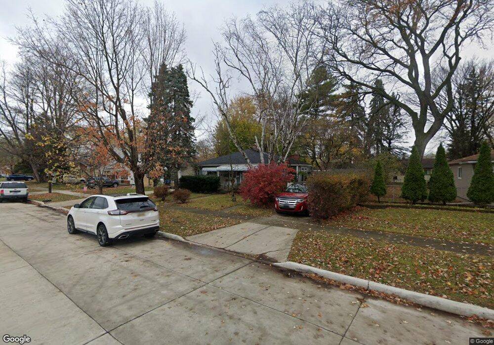
20918 Powers Ave Dearborn Heights, MI 48125
Estimated Value: $188,000 - $228,000
4
Beds
2
Baths
1,493
Sq Ft
$133/Sq Ft
Est. Value
About This Home
This home is located at 20918 Powers Ave, Dearborn Heights, MI 48125 and is currently estimated at $199,137, approximately $133 per square foot. 20918 Powers Ave is a home located in Wayne County with nearby schools including Polk Elementary School, Bedford School, and Pardee School.
Ownership History
Date
Name
Owned For
Owner Type
Purchase Details
Closed on
Oct 14, 2009
Sold by
Donovan Shaun and Secretary Of Housing & Urban D
Bought by
Rinna Gary
Current Estimated Value
Purchase Details
Closed on
Mar 19, 2009
Sold by
Emc Mortgage Corporation
Bought by
Secretary Of Housing & Urban Development
Purchase Details
Closed on
Mar 4, 2009
Sold by
Federal National Mortgage Association
Bought by
Emc Mortgage Corporation
Purchase Details
Closed on
Feb 6, 2008
Sold by
Pagan Carlos
Bought by
Federal National Mortgage Association
Create a Home Valuation Report for This Property
The Home Valuation Report is an in-depth analysis detailing your home's value as well as a comparison with similar homes in the area
Home Values in the Area
Average Home Value in this Area
Purchase History
| Date | Buyer | Sale Price | Title Company |
|---|---|---|---|
| Rinna Gary | $25,500 | None Available | |
| Secretary Of Housing & Urban Development | -- | None Available | |
| Emc Mortgage Corporation | -- | E Title | |
| Federal National Mortgage Association | $109,276 | None Available |
Source: Public Records
Tax History Compared to Growth
Tax History
| Year | Tax Paid | Tax Assessment Tax Assessment Total Assessment is a certain percentage of the fair market value that is determined by local assessors to be the total taxable value of land and additions on the property. | Land | Improvement |
|---|---|---|---|---|
| 2025 | $1,549 | $87,000 | $0 | $0 |
| 2024 | $1,549 | $79,000 | $0 | $0 |
| 2023 | $1,464 | $69,500 | $0 | $0 |
| 2022 | $2,029 | $59,300 | $0 | $0 |
| 2021 | $2,031 | $50,500 | $0 | $0 |
| 2019 | $1,973 | $44,700 | $0 | $0 |
| 2018 | $1,326 | $36,700 | $0 | $0 |
| 2017 | $1,192 | $35,400 | $0 | $0 |
| 2016 | $1,878 | $35,100 | $0 | $0 |
| 2015 | $3,360 | $33,600 | $0 | $0 |
| 2013 | $3,440 | $36,000 | $0 | $0 |
| 2010 | -- | $44,800 | $0 | $0 |
Source: Public Records
Map
Nearby Homes
- 5381 Merrick St
- 5621 Merrick St
- 5648 Hipp St
- 4913 Campbell St
- 5660 Hipp St
- 20425 Powers Ave
- 21302 Powers Ave
- 4644 Gertrude St
- 21334 Powers Ave
- 5455 Mayfair St
- 5873 Merrick St
- 4679 Mayfair St
- 5642 Weddel St
- Vacant Clippert St
- 4455 Hipp St
- 5709 Weddell St
- 5373 Katherine St
- 4641 Weddell St
- 5939 Mayfair St
- 4705 Jackson St
- 20906 Powers Ave
- 20934 Powers Ave
- 5028 Merrick St
- 20942 Powers Ave
- 5315 Merrick St
- 20937 Powers Ave
- 20945 Powers Ave
- 5018 Merrick St
- 5010 Merrick St
- 20953 Powers Ave
- 20952 Powers Ave
- 5335 Merrick St
- 20751 Powers Ave
- 20766 Powers Ave
- 20960 Powers Ave
- 20961 Powers Ave
- 5343 Merrick St
- 20758 Powers Ave
- 5147 Harding St
- 5329 Harding St