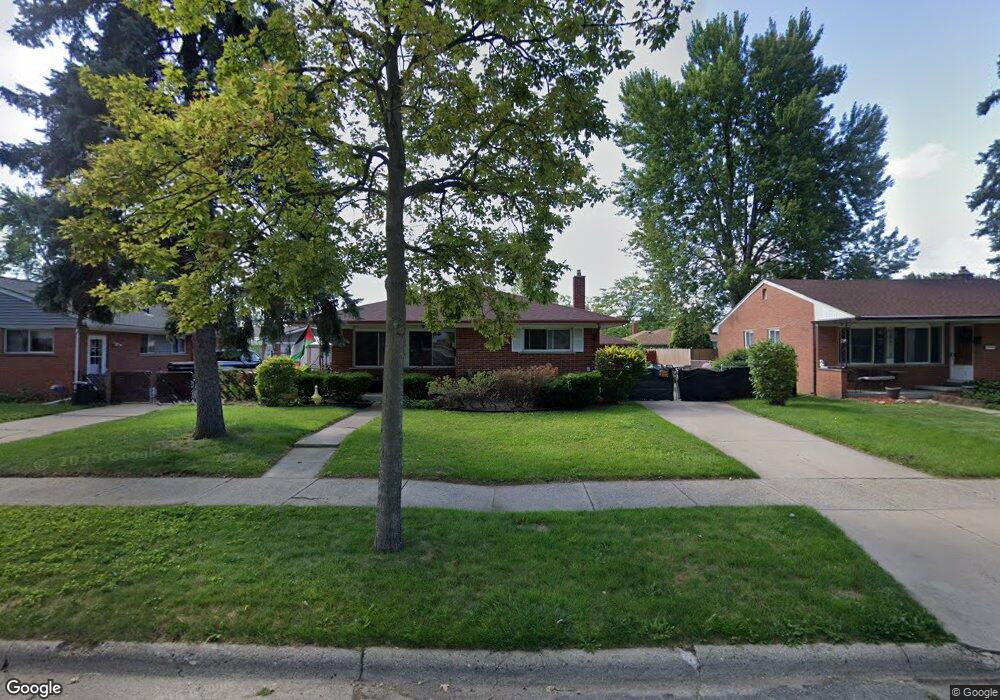
20918 Suffolk St Clinton Township, MI 48035
Estimated Value: $207,552 - $240,000
--
Bed
--
Bath
1,075
Sq Ft
$206/Sq Ft
Est. Value
About This Home
This home is located at 20918 Suffolk St, Clinton Township, MI 48035 and is currently estimated at $221,388, approximately $205 per square foot. 20918 Suffolk St is a home located in Macomb County with nearby schools including Clintondale High School, St. Thecla Catholic School, and Faith Christian School.
Ownership History
Date
Name
Owned For
Owner Type
Purchase Details
Closed on
Oct 15, 2019
Sold by
Morck Allan and Estate Of Mona Sigrid Morck
Bought by
Morck William
Current Estimated Value
Home Financials for this Owner
Home Financials are based on the most recent Mortgage that was taken out on this home.
Original Mortgage
$112,000
Outstanding Balance
$98,417
Interest Rate
3.65%
Mortgage Type
New Conventional
Estimated Equity
$122,971
Create a Home Valuation Report for This Property
The Home Valuation Report is an in-depth analysis detailing your home's value as well as a comparison with similar homes in the area
Home Values in the Area
Average Home Value in this Area
Purchase History
| Date | Buyer | Sale Price | Title Company |
|---|---|---|---|
| Morck William | $140,000 | Abstract Title Agency |
Source: Public Records
Mortgage History
| Date | Status | Borrower | Loan Amount |
|---|---|---|---|
| Open | Morck William | $112,000 |
Source: Public Records
Tax History Compared to Growth
Tax History
| Year | Tax Paid | Tax Assessment Tax Assessment Total Assessment is a certain percentage of the fair market value that is determined by local assessors to be the total taxable value of land and additions on the property. | Land | Improvement |
|---|---|---|---|---|
| 2025 | $3,060 | $97,700 | $0 | $0 |
| 2024 | $2,212 | $87,400 | $0 | $0 |
| 2023 | $2,102 | $79,500 | $0 | $0 |
| 2022 | $2,770 | $71,000 | $0 | $0 |
| 2021 | $2,689 | $67,400 | $0 | $0 |
| 2020 | $1,920 | $64,000 | $0 | $0 |
| 2019 | $1,798 | $56,100 | $0 | $0 |
| 2018 | $1,763 | $51,500 | $0 | $0 |
| 2017 | $1,748 | $43,400 | $7,200 | $36,200 |
| 2016 | $1,737 | $43,400 | $0 | $0 |
| 2015 | -- | $38,200 | $0 | $0 |
| 2014 | -- | $36,200 | $0 | $0 |
| 2011 | -- | $41,800 | $11,700 | $30,100 |
Source: Public Records
Map
Nearby Homes
- 35906 Rewa St
- 35903 Little MacK Ave
- 20830 Lantz St
- 21437 Hillside Dr
- 35811 Weideman St
- 35403 Seville St
- 36027 Vaughn St
- 36047 Weideman St
- 21640 Hillside #3c Dr
- 35685 Griswald St
- 20562 Vermander Ave
- 20309 Abrahm St
- 35501 Griswald St
- 20550 Vermander Ave
- 20176 15 Mile Rd
- 36426 Weideman St
- 21600 Elmway St
- 0000 Garfield
- 21132 Woodward St
- 21156 Woodward St
- 20934 Suffolk St
- 20900 Suffolk St
- 20950 Suffolk St
- 20870 Suffolk St
- 20917 Danbury St
- 20933 Danbury St
- 20899 Danbury St
- 20949 Danbury St
- 20869 Danbury St
- 20966 Suffolk St
- 20919 Suffolk St Unit Bldg-Unit
- 20919 Suffolk St
- 20850 Suffolk St
- 20891 Suffolk St
- 20935 Suffolk St
- 20871 Suffolk St
- 20951 Suffolk St
- 20965 Danbury St
- 20849 Danbury St
- 21000 Suffolk St