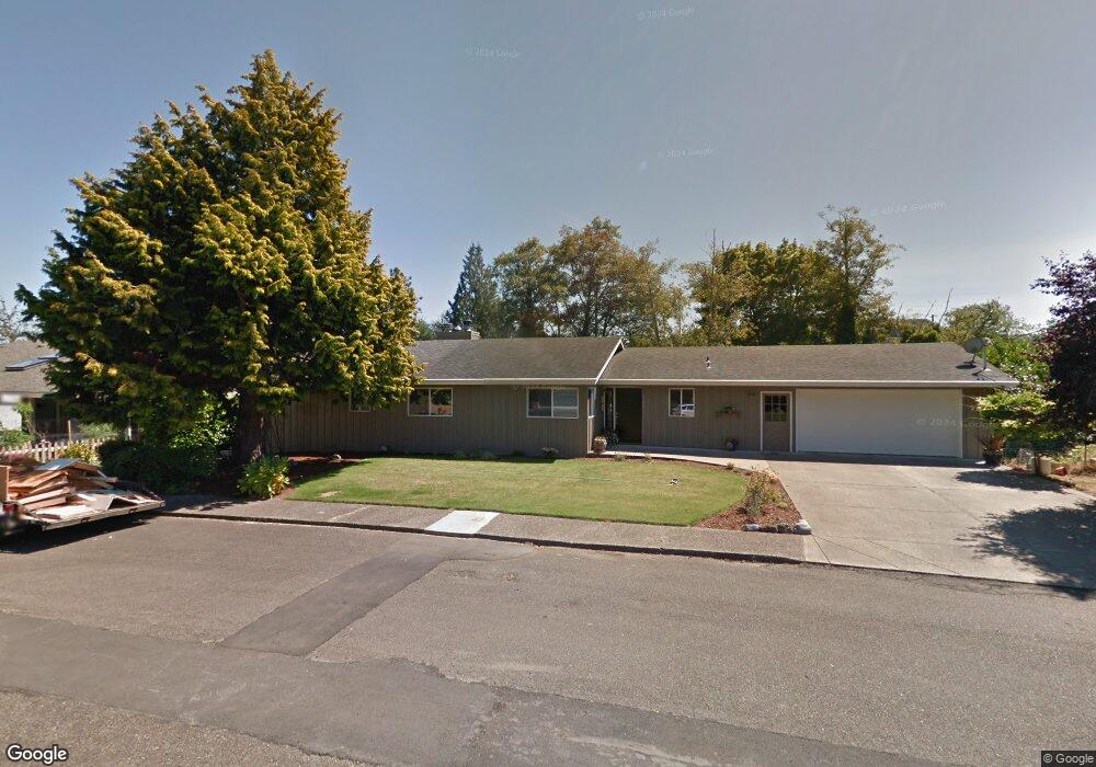
2092 Hawthorne Ave Reedsport, OR 97467
Estimated Value: $446,000 - $555,000
4
Beds
2
Baths
1,892
Sq Ft
$267/Sq Ft
Est. Value
About This Home
This home is located at 2092 Hawthorne Ave, Reedsport, OR 97467 and is currently estimated at $504,497, approximately $266 per square foot. 2092 Hawthorne Ave is a home located in Douglas County with nearby schools including Highland Elementary School and Reedsport Community Charter School.
Ownership History
Date
Name
Owned For
Owner Type
Purchase Details
Closed on
Feb 4, 2008
Sold by
Myers Harvey D and Myers Alison D
Bought by
Myers Harvey D and Myers Alison D
Current Estimated Value
Purchase Details
Closed on
May 23, 2007
Sold by
Allumbaugh Thomas L and Allumbaugh Karin N
Bought by
Myers Harvey D and Myers Alison D
Home Financials for this Owner
Home Financials are based on the most recent Mortgage that was taken out on this home.
Original Mortgage
$180,000
Outstanding Balance
$109,189
Interest Rate
6.12%
Mortgage Type
Purchase Money Mortgage
Estimated Equity
$395,308
Create a Home Valuation Report for This Property
The Home Valuation Report is an in-depth analysis detailing your home's value as well as a comparison with similar homes in the area
Home Values in the Area
Average Home Value in this Area
Purchase History
| Date | Buyer | Sale Price | Title Company |
|---|---|---|---|
| Myers Harvey D | -- | None Available | |
| Myers Harvey D | $310,000 | First American Title Ins Co |
Source: Public Records
Mortgage History
| Date | Status | Borrower | Loan Amount |
|---|---|---|---|
| Open | Myers Harvey D | $180,000 |
Source: Public Records
Tax History Compared to Growth
Tax History
| Year | Tax Paid | Tax Assessment Tax Assessment Total Assessment is a certain percentage of the fair market value that is determined by local assessors to be the total taxable value of land and additions on the property. | Land | Improvement |
|---|---|---|---|---|
| 2024 | $4,870 | $257,929 | -- | -- |
| 2023 | $4,734 | $250,417 | $0 | $0 |
| 2022 | $4,595 | $243,124 | $0 | $0 |
| 2021 | $4,008 | $236,043 | $0 | $0 |
| 2020 | $4,367 | $229,168 | $0 | $0 |
| 2019 | $4,208 | $222,494 | $0 | $0 |
| 2018 | $4,132 | $216,014 | $0 | $0 |
| 2017 | $3,651 | $209,723 | $0 | $0 |
| 2016 | $3,573 | $203,615 | $0 | $0 |
| 2015 | $3,451 | $197,685 | $0 | $0 |
| 2014 | $3,322 | $191,928 | $0 | $0 |
| 2013 | -- | $186,338 | $0 | $0 |
Source: Public Records
Map
Nearby Homes
- 2111 Greenwood Ave
- 2136 Greenwood Ave
- 460 N 20th St
- 241 N 21st St
- 800 Masters Ct
- 8 Masters Way
- 611 Hulton Way
- 856 Masters Ct
- 245 S 18th St
- 2795 Ridgeway Dr
- 550 S 19th St
- 2950 Greenbriar St
- 2220 Arthur Dr
- 3000 Frontage Rd
- 2690 Gardens Ave
- 847 Vista Ct
- 920 Ranch Rd
- 729 Ranch Rd
- 1521 Ranch Rd
- 1011 Heather Ct
- 2078 Hawthorne Ave
- 2091 Greenwood Ave
- 2077 Greenwood Ave
- 2091 Hawthorne Ave
- 2056 Hawthorne Ave
- 2035 Greenwood Ave
- 2135 Greenwood Ave
- 360 N 20th St
- 2015 Greenwood Ave
- 271 N 21st St
- 2078 Greenwood Ave
- 2050 Greenwood Ave
- 2149 Greenwood Ave
- 424 N 20th St
- 2011 Greenwood Ave
- 2050 Ivy Ave
- 2036 Greenwood Ave
- 2120 Greenwood Ave
- 2163 Greenwood Ave
- 2016 Greenwood Ave