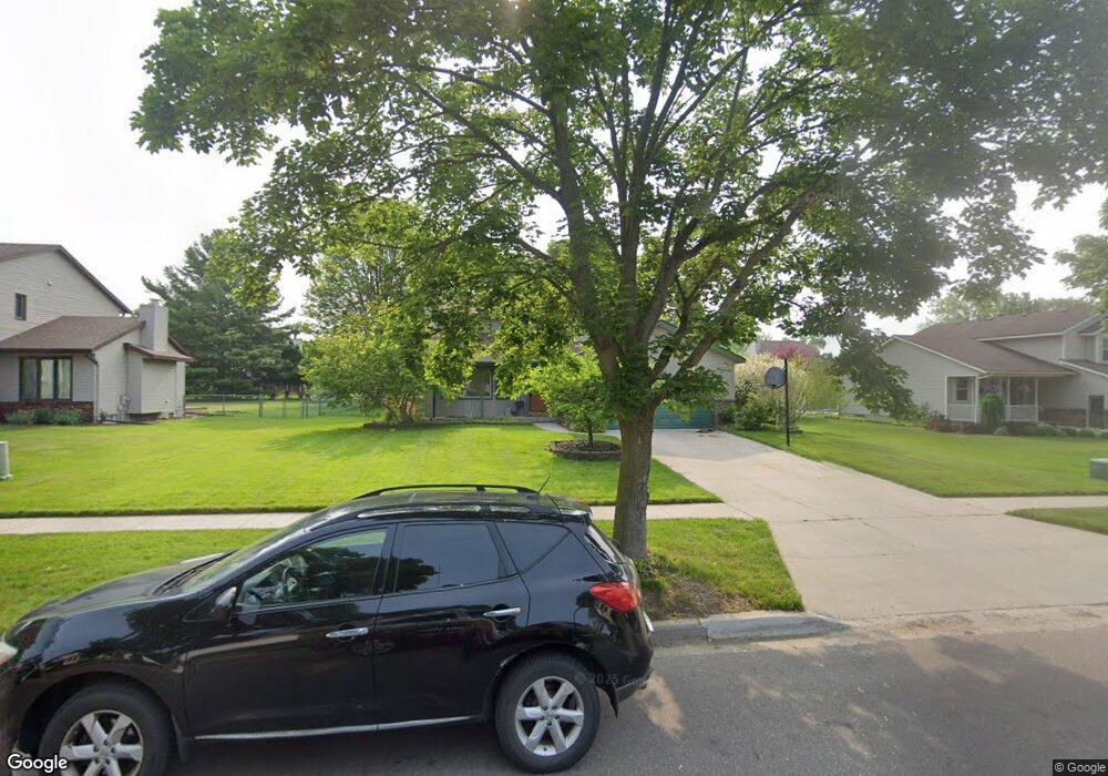
2092 Pheasant Ave NW Grand Rapids, MI 49534
Estimated Value: $417,000 - $453,000
4
Beds
4
Baths
2,600
Sq Ft
$165/Sq Ft
Est. Value
About This Home
This home is located at 2092 Pheasant Ave NW, Grand Rapids, MI 49534 and is currently estimated at $428,633, approximately $164 per square foot. 2092 Pheasant Ave NW is a home located in Kent County with nearby schools including Kenowa Hills Central Elementary School, Kenowa Hills Middle School, and Kenowa Hills High School.
Ownership History
Date
Name
Owned For
Owner Type
Purchase Details
Closed on
Apr 20, 2006
Sold by
Bour Robert A
Bought by
Zemaitis Michael and Fessenden Tena
Current Estimated Value
Home Financials for this Owner
Home Financials are based on the most recent Mortgage that was taken out on this home.
Original Mortgage
$189,998
Outstanding Balance
$108,958
Interest Rate
6.42%
Mortgage Type
FHA
Estimated Equity
$319,675
Purchase Details
Closed on
Mar 22, 1996
Sold by
Niebor Kevin G
Bought by
Bour Robert A and Zemaitis Michael
Create a Home Valuation Report for This Property
The Home Valuation Report is an in-depth analysis detailing your home's value as well as a comparison with similar homes in the area
Home Values in the Area
Average Home Value in this Area
Purchase History
| Date | Buyer | Sale Price | Title Company |
|---|---|---|---|
| Zemaitis Michael | $191,500 | None Available | |
| Bour Robert A | $126,900 | -- |
Source: Public Records
Mortgage History
| Date | Status | Borrower | Loan Amount |
|---|---|---|---|
| Open | Zemaitis Michael | $189,998 |
Source: Public Records
Tax History Compared to Growth
Tax History
| Year | Tax Paid | Tax Assessment Tax Assessment Total Assessment is a certain percentage of the fair market value that is determined by local assessors to be the total taxable value of land and additions on the property. | Land | Improvement |
|---|---|---|---|---|
| 2025 | $2,669 | $187,800 | $0 | $0 |
| 2024 | $2,669 | $171,200 | $0 | $0 |
| 2023 | $2,451 | $144,200 | $0 | $0 |
| 2022 | $2,637 | $128,500 | $0 | $0 |
| 2021 | $2,569 | $120,600 | $0 | $0 |
| 2020 | $2,255 | $117,300 | $0 | $0 |
| 2019 | $4,239 | $105,800 | $0 | $0 |
| 2018 | $2,438 | $101,400 | $0 | $0 |
| 2017 | $2,370 | $95,400 | $0 | $0 |
| 2016 | $2,277 | $89,500 | $0 | $0 |
| 2015 | $2,151 | $89,500 | $0 | $0 |
| 2013 | -- | $78,500 | $0 | $0 |
Source: Public Records
Map
Nearby Homes
- 3120 Richmond St NW
- 2260 Elmridge Dr NW
- 2505 Longmeadow St NW
- 3560 Richmond St NW
- 2716 Elmridge Dr NW
- 2432 Eastwinde Ct NW
- 1474 Marlin Ave NW
- 1969 Oak Hollow Rd NW
- 3405 3 Mile Rd NW
- 1789 Oakleigh Woods Dr NW
- 3262 Rypens Dr NW
- 1660 Oakleigh Rd NW
- 2268 Pin Oak Ct NW Unit 91
- 1300 Lancaster Ave NW
- 1814 Corville Ct NW
- 2040 Blue Bellway NW Unit 46
- 2549 Meadow Ridge Dr Unit 51
- 1340 Northrup Ave NW
- 3511 3 Mile Rd NW
- 2486 Falcon Pointe Dr NW
- 2078 Pheasant Ave NW
- 2104 Pheasant Ave NW
- 2055 Meadowdale Dr NW
- 2045 Meadowdale Dr NW
- 2063 Meadowdale Dr NW
- 2064 Pheasant Ave NW
- 2118 Pheasant Ave NW
- 2035 Meadowdale Dr NW
- 2093 Pheasant Ave NW
- 2107 Meadowdale Dr NW
- 2079 Pheasant Ave NW
- 2105 Pheasant Ave NW
- 2132 Pheasant Ave NW
- 2067 Pheasant Ave NW
- 2046 Pheasant Ave NW
- 2115 Meadowdale Dr NW
- 2119 Pheasant Ave NW
- 2029 Meadowdale Dr NW
- 1853 Pheasant Ave NW
- 2055 Pheasant Ave NW