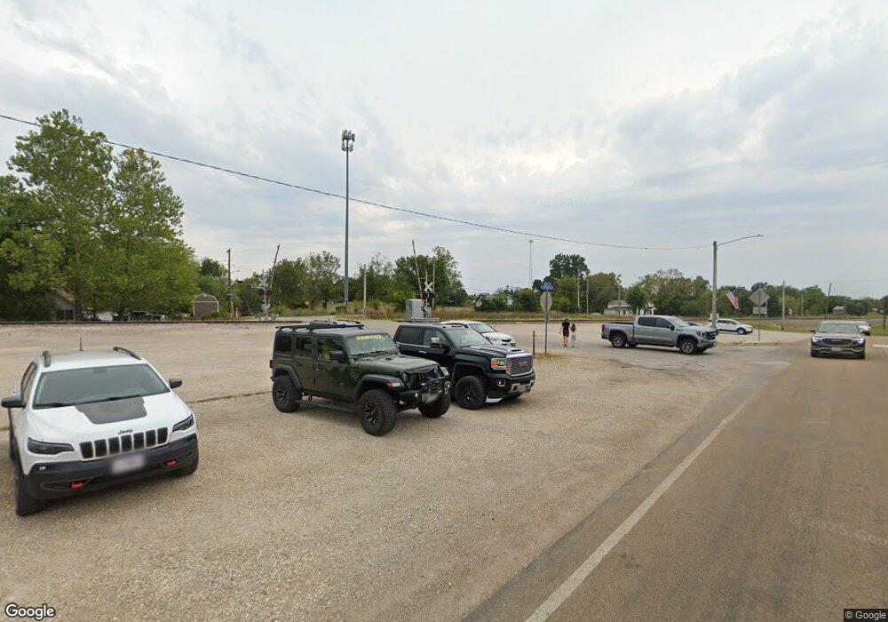
20925 Highway Dd Crocker, MO 65452
Estimated Value: $230,000 - $302,000
3
Beds
2
Baths
2,008
Sq Ft
$128/Sq Ft
Est. Value
About This Home
This home is located at 20925 Highway Dd, Crocker, MO 65452 and is currently estimated at $256,171, approximately $127 per square foot. 20925 Highway Dd is a home located in Pulaski County with nearby schools including Crocker Elementary School and Crocker High School.
Ownership History
Date
Name
Owned For
Owner Type
Purchase Details
Closed on
May 10, 2021
Bought by
Darhower Scott A and Darhower Kristen Ellizabeth
Current Estimated Value
Purchase Details
Closed on
Jul 15, 2019
Sold by
Lyon Thomas J
Bought by
Hatch Leslie M
Purchase Details
Closed on
Apr 30, 2019
Sold by
Mullihan Ray R and Mullihan Kathy L
Bought by
Lyon Thomas J and Hatch Leslie M
Home Financials for this Owner
Home Financials are based on the most recent Mortgage that was taken out on this home.
Original Mortgage
$138,700
Interest Rate
4%
Mortgage Type
New Conventional
Purchase Details
Closed on
May 22, 2008
Sold by
Markley Deborah A and Markley Ellvan D
Bought by
Mullihan Kathly L and Mullihan Ray R
Home Financials for this Owner
Home Financials are based on the most recent Mortgage that was taken out on this home.
Original Mortgage
$100,260
Interest Rate
6.07%
Mortgage Type
New Conventional
Create a Home Valuation Report for This Property
The Home Valuation Report is an in-depth analysis detailing your home's value as well as a comparison with similar homes in the area
Purchase History
| Date | Buyer | Sale Price | Title Company |
|---|---|---|---|
| Darhower Scott A | -- | -- | |
| Hatch Leslie M | -- | -- | |
| Lyon Thomas J | -- | -- | |
| Mullihan Kathly L | -- | None Available |
Source: Public Records
Mortgage History
| Date | Status | Borrower | Loan Amount |
|---|---|---|---|
| Previous Owner | Lyon Thomas J | $138,700 | |
| Previous Owner | Mullihan Kathly L | $100,260 |
Source: Public Records
Tax History Compared to Growth
Tax History
| Year | Tax Paid | Tax Assessment Tax Assessment Total Assessment is a certain percentage of the fair market value that is determined by local assessors to be the total taxable value of land and additions on the property. | Land | Improvement |
|---|---|---|---|---|
| 2024 | $11 | $25,211 | $2,322 | $22,889 |
| 2023 | $1,037 | $25,211 | $2,322 | $22,889 |
| 2022 | $1,037 | $25,211 | $2,322 | $22,889 |
| 2021 | $974 | $23,665 | $2,318 | $21,347 |
| 2020 | $936 | $22,671 | $0 | $0 |
| 2019 | $937 | $22,648 | $0 | $0 |
| 2018 | $936 | $22,648 | $0 | $0 |
| 2017 | $935 | $22,671 | $0 | $0 |
| 2016 | $935 | $22,650 | $0 | $0 |
| 2015 | -- | $22,650 | $0 | $0 |
| 2014 | $929 | $22,650 | $0 | $0 |
Source: Public Records
Map
Nearby Homes
- 20995 Blackberry Ln
- 000 Bangor Rd
- 21269 Bangor Rd
- TBD 13B Highway 17
- 17305 Riverside Rd
- 14901 Beauty Dr
- TBD Highway 17 Tract 11
- TBD
- T6&T7 Highway 17
- TBD
- 224 Sweet Valley Cir
- 19825 Missouri 17
- 319 Harold St
- 308 S Frisco St
- 20172 London Ln
- 104 Howard St
- 20415 Highway 17
- 19580 Lyle Ln
- 120 N Commercial St
- 19252 Lambert Ln
- 20925 Highway Dd
- 20925 Highway Dd
- 20885 Highway Dd
- 20975 Highway Dd
- 20920 Highway Dd
- 20920 Highway Dd
- 17250 Brewster Ln
- 17335 Ballad Dr
- 17285 Brewster Ln
- 20950 Blackberry Ln
- 17290 Brewster Ln
- 20850 Blackberry Ln
- 0XXX Dd Hwy
- 0 Dd-520-bob White Road Hwy
- 20825 Highway Dd
- 20793 Highway Dd
- 0TRACT B Blackberry Ln
- 0 Blackberry Ln
- 20750 Blackberry Ln
- 21010 Highway Dd
