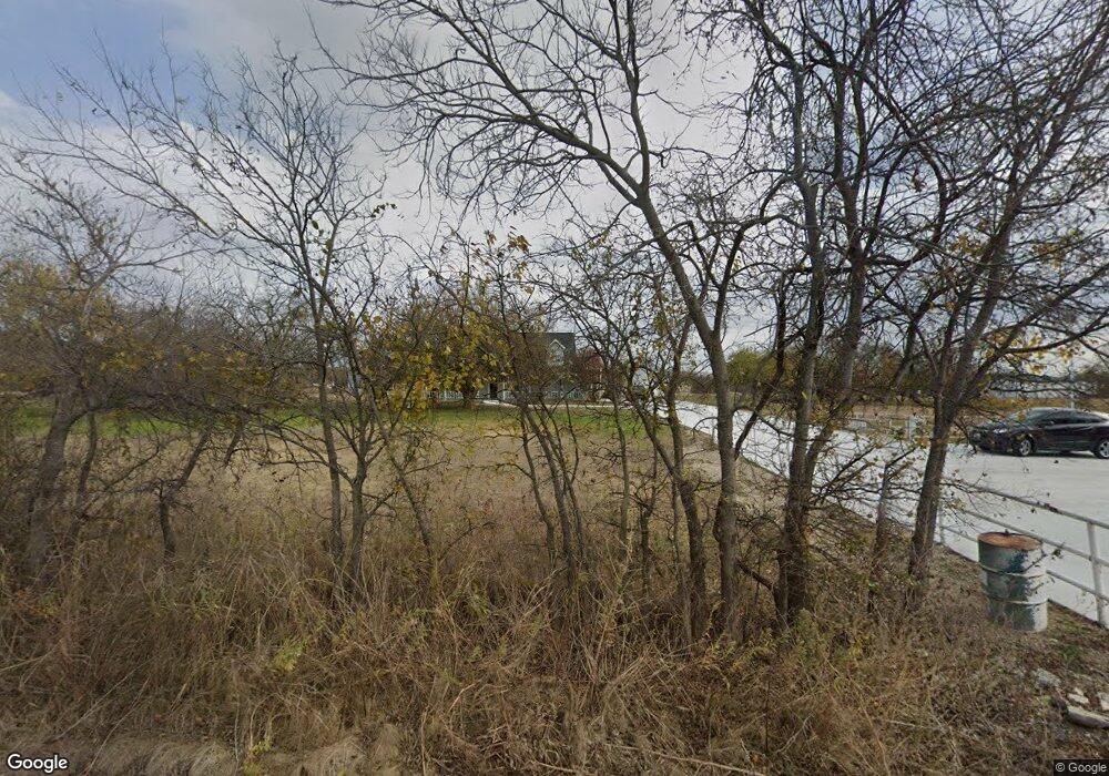
2093 County Road 4522 Justin, TX 76247
Estimated Value: $526,072 - $632,000
3
Beds
3
Baths
2,539
Sq Ft
$222/Sq Ft
Est. Value
About This Home
This home is located at 2093 County Road 4522, Justin, TX 76247 and is currently estimated at $563,357, approximately $221 per square foot. 2093 County Road 4522 is a home located in Wise County with nearby schools including Decatur High School.
Ownership History
Date
Name
Owned For
Owner Type
Purchase Details
Closed on
Aug 8, 2011
Sold by
Mayfield Robert and Mayfield Beverly
Bought by
Chavez Robert J
Current Estimated Value
Home Financials for this Owner
Home Financials are based on the most recent Mortgage that was taken out on this home.
Original Mortgage
$205,567
Outstanding Balance
$142,861
Interest Rate
4.65%
Mortgage Type
VA
Estimated Equity
$420,496
Purchase Details
Closed on
Apr 13, 2005
Sold by
Rote Kyle and Rote Mary Lynne
Bought by
Mayfield Robert J and Mayfield Beverly E
Home Financials for this Owner
Home Financials are based on the most recent Mortgage that was taken out on this home.
Original Mortgage
$18,900
Interest Rate
5.93%
Mortgage Type
Purchase Money Mortgage
Create a Home Valuation Report for This Property
The Home Valuation Report is an in-depth analysis detailing your home's value as well as a comparison with similar homes in the area
Home Values in the Area
Average Home Value in this Area
Purchase History
| Date | Buyer | Sale Price | Title Company |
|---|---|---|---|
| Chavez Robert J | $205,567 | -- | |
| Mayfield Robert J | -- | None Available |
Source: Public Records
Mortgage History
| Date | Status | Borrower | Loan Amount |
|---|---|---|---|
| Open | Chavez Robert J | $205,567 | |
| Previous Owner | Mayfield Robert J | $18,900 |
Source: Public Records
Tax History Compared to Growth
Tax History
| Year | Tax Paid | Tax Assessment Tax Assessment Total Assessment is a certain percentage of the fair market value that is determined by local assessors to be the total taxable value of land and additions on the property. | Land | Improvement |
|---|---|---|---|---|
| 2025 | $3,983 | $473,839 | -- | -- |
| 2024 | $3,983 | $430,763 | $0 | $0 |
| 2023 | $6,016 | $497,969 | $142,712 | $355,257 |
| 2022 | $6,093 | $397,082 | $120,974 | $276,108 |
| 2021 | $5,188 | $323,640 | $88,690 | $234,950 |
| 2020 | $4,940 | $306,180 | $80,500 | $225,680 |
| 2019 | $5,168 | $300,760 | $80,500 | $220,260 |
| 2018 | $4,954 | $279,110 | $62,160 | $216,950 |
| 2017 | $4,525 | $254,900 | $52,000 | $202,900 |
| 2016 | $3,693 | $211,870 | $40,170 | $171,700 |
| 2015 | -- | $207,200 | $30,770 | $176,430 |
| 2014 | -- | $200,770 | $30,870 | $169,900 |
Source: Public Records
Map
Nearby Homes
- 6270 High Mesa Dr
- 5926 High Mesa Dr
- 1746 County Road 4522
- 1421 County Road 4530
- 160 Quail Run Ct
- 5345 Moncrief Rd
- 1495 County Road 4530
- 709 County Road 4530
- 705 County Road 4530
- 112 Emma Ct
- n/a N A
- 117 Emma Ct
- TBD County Road 4511
- 2600 Judge Ln
- 13508 Deussen Rd
- TBD Lot 4 Fm 2449
- TBD Lot 6 Fm 2449
- 729 Kincannon Ln
- TBD Lot 7 Fm 2449
- TBD Lot 5 Fm 2449
- 2099 County Road 4522
- 2109 County Road 4522
- 75 High Mesa St
- 6200 High Mesa Dr
- 514 Claremont Dr
- 2616 Roaming Trail
- 1030 Moss Grove Trail
- 1027 Moss Grove Trail
- 1009 Moss Grove Trail
- 2508 Roaming Trail
- 1025 Moss Grove Trail
- 1037 Moss Grove Trail
- 1036 Moss Grove Trail
- 9304 Bluestem Ln
- 205 Onyx Dr
- 403 Eaton Dr
- 405 Eaton Dr
- 307 Laruel Dr
- 309 Laruel Dr
- 1035 Moss Grove Trail