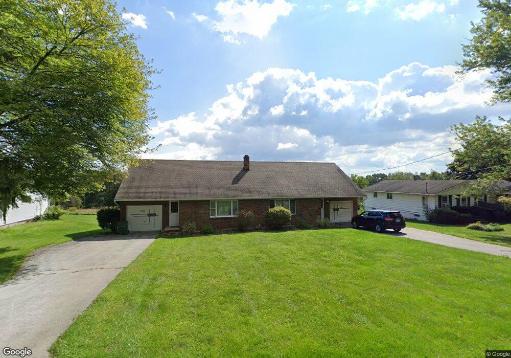
2093 Hubbard Thomas Rd Hubbard, OH 44425
Estimated Value: $115,000 - $156,000
6
Beds
2
Baths
2,224
Sq Ft
$62/Sq Ft
Est. Value
About This Home
This home is located at 2093 Hubbard Thomas Rd, Hubbard, OH 44425 and is currently estimated at $138,263, approximately $62 per square foot. 2093 Hubbard Thomas Rd is a home located in Trumbull County with nearby schools including Hubbard Elementary School, Hubbard Middle School, and Hubbard High School.
Ownership History
Date
Name
Owned For
Owner Type
Purchase Details
Closed on
Jan 11, 2006
Sold by
Ryser Doris J
Bought by
Sharisky Lynnda S
Current Estimated Value
Purchase Details
Closed on
Dec 23, 2005
Sold by
Ryser Doris J
Bought by
Sharisky Lynnda S
Purchase Details
Closed on
Mar 1, 2001
Sold by
Ryser Edward E
Bought by
Ryser Doris J
Purchase Details
Closed on
Jan 1, 1990
Bought by
Doris J Ryser
Create a Home Valuation Report for This Property
The Home Valuation Report is an in-depth analysis detailing your home's value as well as a comparison with similar homes in the area
Home Values in the Area
Average Home Value in this Area
Purchase History
| Date | Buyer | Sale Price | Title Company |
|---|---|---|---|
| Sharisky Lynnda S | -- | -- | |
| Sharisky Lynnda S | -- | -- | |
| Ryser Doris J | -- | Shamrock Title | |
| Doris J Ryser | -- | -- |
Source: Public Records
Tax History Compared to Growth
Tax History
| Year | Tax Paid | Tax Assessment Tax Assessment Total Assessment is a certain percentage of the fair market value that is determined by local assessors to be the total taxable value of land and additions on the property. | Land | Improvement |
|---|---|---|---|---|
| 2024 | $2,149 | $37,040 | $4,240 | $32,800 |
| 2023 | $2,149 | $37,040 | $4,240 | $32,800 |
| 2022 | $2,691 | $41,300 | $3,920 | $37,380 |
| 2021 | $2,702 | $41,300 | $3,920 | $37,380 |
| 2020 | $2,713 | $41,300 | $3,920 | $37,380 |
| 2019 | $2,508 | $36,160 | $3,640 | $32,520 |
| 2018 | $2,435 | $36,160 | $3,640 | $32,520 |
| 2017 | $2,428 | $36,160 | $3,640 | $32,520 |
| 2016 | $2,101 | $32,760 | $3,640 | $29,120 |
| 2015 | $2,108 | $32,760 | $3,640 | $29,120 |
| 2014 | $2,068 | $32,760 | $3,640 | $29,120 |
| 2013 | $2,065 | $32,760 | $3,640 | $29,120 |
Source: Public Records
Map
Nearby Homes
- 1911 Hubbard Thomas Rd
- 1952 Hubbard Masury Rd
- 7111 Pine Grove Dr
- 1354 Stevenson Rd
- 784 Elmwood Dr
- 132 Drummond Ave
- 462 Elizabeth St
- 395 Elizabeth St
- 764 Jones St
- 611 Moore St
- 7737 Elm St
- 138 Moore St
- 7847 Chestnut St
- 430 E Park Ave
- 7822 2nd St
- 248 Myron St
- 6855 Stewart Sharon Rd
- 50 Walnut St
- 110 School St
- 319 E Liberty St
- 2085 Hubbard Thomas Rd
- 2103 Hubbard Thomas Rd
- 2073 Hubbard Thomas Rd
- 2115 Hubbard Thomas Rd
- 2094 Hubbard Thomas Rd
- 2084 Hubbard Thomas Rd
- 2063 Hubbard Thomas Rd
- 2114 Hubbard Thomas Rd
- 2074 Hubbard Thomas Rd
- 2124 Hubbard Thomas Rd
- 2064 Hubbard Thomas Rd
- 2135 Hubbard Thomas Rd
- 2051 Hubbard Thomas Rd
- 2132 Hubbard Thomas Rd
- 2102 Hubbard Thomas Rd
- 7360 Van Ness Ave
- 2048 Hubbard Thomas Rd
- 2155 Hubbard Thomas Rd
- 2144 Hubbard Thomas Rd
- 2038 Hubbard Thomas Rd