2093 N Homestead Rd Salina, UT 84654
Estimated Value: $371,000 - $588,000
7
Beds
2
Baths
3,117
Sq Ft
$154/Sq Ft
Est. Value
About This Home
This home is located at 2093 N Homestead Rd, Salina, UT 84654 and is currently estimated at $479,500, approximately $153 per square foot. 2093 N Homestead Rd is a home located in Sevier County with nearby schools including Salina School, North Sevier Middle School, and North Sevier High School.
Ownership History
Date
Name
Owned For
Owner Type
Purchase Details
Closed on
Feb 15, 2023
Sold by
Jorgensen Dennis
Bought by
Peterson Jon and Peterson Janae
Current Estimated Value
Purchase Details
Closed on
Jun 10, 2020
Sold by
Thomas Leeann P
Bought by
Jorgensen Dennis and Jorgensen Coleen
Purchase Details
Closed on
Mar 31, 2016
Sold by
Thomas Kenneth D
Bought by
Thomas Leeann P
Create a Home Valuation Report for This Property
The Home Valuation Report is an in-depth analysis detailing your home's value as well as a comparison with similar homes in the area
Home Values in the Area
Average Home Value in this Area
Purchase History
| Date | Buyer | Sale Price | Title Company |
|---|---|---|---|
| Peterson Jon | -- | First American Title | |
| Peterson Jon | -- | First American Title | |
| Jorgensen Dennis | -- | None Available | |
| Thomas Leeann P | -- | None Available |
Source: Public Records
Tax History Compared to Growth
Tax History
| Year | Tax Paid | Tax Assessment Tax Assessment Total Assessment is a certain percentage of the fair market value that is determined by local assessors to be the total taxable value of land and additions on the property. | Land | Improvement |
|---|---|---|---|---|
| 2024 | $3,813 | $472,305 | $10,249 | $462,056 |
| 2023 | $3,813 | $339,952 | $10,048 | $329,904 |
| 2022 | $3,180 | $342,707 | $6,798 | $335,909 |
| 2021 | $2,630 | $236,526 | $5,889 | $230,637 |
| 2020 | $2,768 | $235,847 | $5,210 | $230,637 |
| 2019 | $2,276 | $208,790 | $5,210 | $203,580 |
| 2018 | $2,139 | $174,290 | $4,530 | $169,760 |
| 2017 | $2,065 | $160,760 | $4,530 | $156,230 |
| 2016 | $1,042 | $149,820 | $0 | $0 |
| 2015 | $1,042 | $149,820 | $0 | $0 |
| 2014 | $1,042 | $148,130 | $0 | $0 |
Source: Public Records
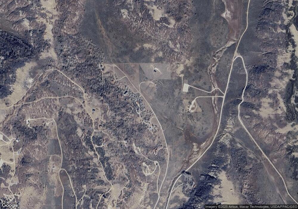
Map
Nearby Homes
- 2185 W North Crestridge Unit 51
- Tbd
- 350 W Main St
- 295 S 250 W
- 315 E 340 N
- 355 E 340 N
- 1 N Quitchupah Creek Rd
- 1 N See Remarks
- 959 Cove Rd N
- 1 See Directions
- 0 Unit A LotWP001
- 805 N 140 W Unit 81
- 94 E Canyon Rd
- 555 N State St
- 85 W 970 N
- 908 N 140 W
- 1 Main St S
- 4650 W 11884 S Unit 3
- 500 N Highway 137 N
- 497 N 200 E
- 2133 N Homestead Rd
- 2183 N Homestead Rd
- 2057 N Homestead Rd
- 2064 N Homestead Rd
- 1982 N Eastridge Rd
- 1967 N Homestead Rd
- 2164 N Eastridge Rd
- 1940 N Eastridge Rd
- 1923 N Homestead Rd
- 1923 N Homestead Rd
- 1840 N East Ridge Rd
- 1955 N Eagles Nest Rd
- 1839 N Homestead Rd
- 150 E Eagles Nest Rd
- 1755 N Eagles Nest Rd
- 2174 N Whipping Ln
- 1822 N Lookout Rd
- 1944 N Lookout Rd
- 1660 S Airport Rd
- 1865 N Lookout Rd