2093 River Way Spring Branch, TX 78070
Far North San Antonio NeighborhoodEstimated Value: $972,383 - $1,085,000
--
Bed
4
Baths
3,992
Sq Ft
$258/Sq Ft
Est. Value
About This Home
This home is located at 2093 River Way, Spring Branch, TX 78070 and is currently estimated at $1,031,346, approximately $258 per square foot. 2093 River Way is a home located in Comal County with nearby schools including Bill Brown Elementary School, Smithson Valley Middle School, and Smithson Valley High School.
Ownership History
Date
Name
Owned For
Owner Type
Purchase Details
Closed on
Aug 10, 2007
Sold by
Wagstaff Jeffrey P and Wagstaff Melissa
Bought by
Baylor Matthew V and Baylor Rebecca G
Current Estimated Value
Home Financials for this Owner
Home Financials are based on the most recent Mortgage that was taken out on this home.
Original Mortgage
$97,200
Outstanding Balance
$61,479
Interest Rate
6.64%
Mortgage Type
Purchase Money Mortgage
Estimated Equity
$969,867
Purchase Details
Closed on
Feb 15, 2006
Sold by
Gauntt Caroll Lynn and Gauntt Bruce
Bought by
Wagstaff Jeffrey P
Home Financials for this Owner
Home Financials are based on the most recent Mortgage that was taken out on this home.
Original Mortgage
$76,400
Interest Rate
6.05%
Mortgage Type
Purchase Money Mortgage
Create a Home Valuation Report for This Property
The Home Valuation Report is an in-depth analysis detailing your home's value as well as a comparison with similar homes in the area
Home Values in the Area
Average Home Value in this Area
Purchase History
| Date | Buyer | Sale Price | Title Company |
|---|---|---|---|
| Baylor Matthew V | -- | Chicago Title | |
| Wagstaff Jeffrey P | -- | Lalt |
Source: Public Records
Mortgage History
| Date | Status | Borrower | Loan Amount |
|---|---|---|---|
| Open | Baylor Matthew V | $97,200 | |
| Previous Owner | Wagstaff Jeffrey P | $76,400 |
Source: Public Records
Tax History Compared to Growth
Tax History
| Year | Tax Paid | Tax Assessment Tax Assessment Total Assessment is a certain percentage of the fair market value that is determined by local assessors to be the total taxable value of land and additions on the property. | Land | Improvement |
|---|---|---|---|---|
| 2025 | $7,806 | $865,874 | -- | -- |
| 2024 | $7,806 | $787,158 | -- | -- |
| 2023 | $7,806 | $715,598 | $0 | $0 |
| 2022 | $7,516 | $650,544 | -- | -- |
| 2021 | $10,535 | $591,404 | $102,893 | $488,511 |
| 2020 | $11,662 | $629,411 | $105,620 | $523,791 |
| 2019 | $12,296 | $647,820 | $100,590 | $547,230 |
| 2018 | $11,489 | $606,935 | $77,480 | $529,455 |
| 2017 | $10,822 | $576,236 | $85,630 | $490,606 |
| 2016 | $10,617 | $565,303 | $81,560 | $483,743 |
| 2015 | $7,365 | $581,520 | $81,560 | $499,960 |
| 2014 | $7,365 | $494,602 | $73,400 | $421,202 |
Source: Public Records
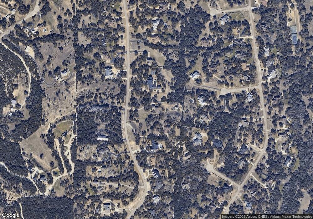
Map
Nearby Homes
- 194 Night Sky
- 137 Rodeo Dr
- 138 Rodeo Dr
- 190 Saddle Ridge
- 2317 Frontier
- 1700 Frontier
- 111 Saddle Ridge
- 519 Long Meadow
- 1855 Texas Oaks
- 2437 River Way
- 1187 Long Meadow
- 195 Desert Flower
- 339 Long Meadow
- 811 Long Meadow
- 446 Long Meadow
- 913 Long Meadow
- 154 Coral Cove
- 248 Champions Ridge
- 227 Champions Ridge
- 429 Fossil Hills Loop
- 2117 River Way
- 2013 River Way
- 2155 River Way
- 191 Long Branch
- 179 Long Branch
- 2189 River Way
- 1977 River Way
- 190 Long Branch
- 184 Night Sky
- 2090 River Way
- 2048 River Way
- 2134 River Way
- 2203 River Way
- 1945 River Way
- 178 Long Branch
- LOT 27 River Way
- 1627 River Way
- 2432 River Way
- 1277 River Way
- 2010 River Way