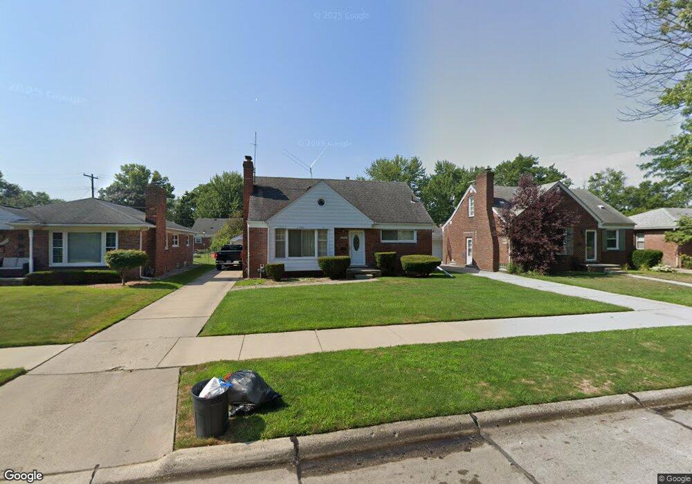
20932 Norwood Dr Harper Woods, MI 48225
Estimated Value: $223,000 - $238,000
--
Bed
1
Bath
1,298
Sq Ft
$178/Sq Ft
Est. Value
About This Home
This home is located at 20932 Norwood Dr, Harper Woods, MI 48225 and is currently estimated at $231,609, approximately $178 per square foot. 20932 Norwood Dr is a home located in Wayne County with nearby schools including Parcells Middle School, Grosse Pointe North High School, and Distinctive College Prep: Harper Woods.
Ownership History
Date
Name
Owned For
Owner Type
Purchase Details
Closed on
Apr 24, 2008
Sold by
Stromayer Robert G and Stromayer Angela D
Bought by
Walker Clint
Current Estimated Value
Home Financials for this Owner
Home Financials are based on the most recent Mortgage that was taken out on this home.
Original Mortgage
$122,800
Outstanding Balance
$77,382
Interest Rate
5.87%
Mortgage Type
New Conventional
Estimated Equity
$154,227
Purchase Details
Closed on
Oct 29, 2007
Sold by
Harper Pointe Inc
Bought by
Walker Clint
Create a Home Valuation Report for This Property
The Home Valuation Report is an in-depth analysis detailing your home's value as well as a comparison with similar homes in the area
Home Values in the Area
Average Home Value in this Area
Purchase History
| Date | Buyer | Sale Price | Title Company |
|---|---|---|---|
| Walker Clint | -- | Stewart Title | |
| Walker Clint | $122,000 | Greco |
Source: Public Records
Mortgage History
| Date | Status | Borrower | Loan Amount |
|---|---|---|---|
| Open | Walker Clint | $122,800 |
Source: Public Records
Tax History Compared to Growth
Tax History
| Year | Tax Paid | Tax Assessment Tax Assessment Total Assessment is a certain percentage of the fair market value that is determined by local assessors to be the total taxable value of land and additions on the property. | Land | Improvement |
|---|---|---|---|---|
| 2025 | $1,108 | $110,200 | $0 | $0 |
| 2024 | $1,108 | $103,100 | $0 | $0 |
| 2023 | $1,058 | $94,800 | $0 | $0 |
| 2022 | $3,461 | $78,800 | $0 | $0 |
| 2021 | $3,241 | $76,100 | $0 | $0 |
| 2019 | $3,270 | $55,400 | $0 | $0 |
| 2018 | $771 | $44,900 | $0 | $0 |
| 2017 | $4,354 | $44,900 | $0 | $0 |
| 2016 | $3,043 | $43,000 | $0 | $0 |
| 2015 | $3,506 | $39,100 | $0 | $0 |
| 2013 | $3,340 | $33,400 | $0 | $0 |
| 2012 | $479 | $34,100 | $9,000 | $25,100 |
Source: Public Records
Map
Nearby Homes
- 20950 Norwood Dr
- 20886 Hunt Club Dr
- 20884 Woodmont St
- 20914 Woodmont St
- 2048 Hunt Club Dr
- 20923 Wildwood Dr Unit 226
- 20852 Wildwood Dr Unit 109
- 20611 Damman St
- 20602 Kenmore Ave
- 20870 Wildwood Dr Unit 221
- 19804 Harper Ave Unit 202
- 1953 Hunt Club Dr
- 20696 Huntington Ave
- 21138 Huntington Ave
- 20506 Lochmoor St
- 20522 Woodmont St
- 20616 Lancaster St
- 20672 Fleetwood Dr
- 20498 Country Club Dr
- 2368 Allard Ave
- 20942 Norwood Dr
- 20922 Norwood Dr
- 20910 Norwood Dr
- 20951 Kenmore Ave
- 20941 Kenmore Ave
- 20959 Kenmore Ave
- 20931 Kenmore Ave
- 20900 Norwood Dr
- 20927 Norwood Dr
- 20935 Norwood Dr
- 20917 Kenmore Ave
- 20943 Norwood Dr
- 20903 Norwood Dr
- 21102 Norwood Dr
- 20951 Norwood Dr
- 20888 Norwood Dr
- 20907 Kenmore Ave
- 20895 Norwood Dr
- 21112 Norwood Dr
- 21101 Kenmore Ave