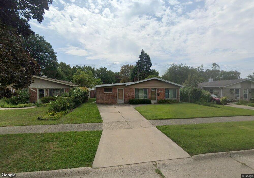
20933 Shannon St Taylor, MI 48180
Estimated Value: $173,000 - $198,000
Studio
--
Bath
1,560
Sq Ft
$117/Sq Ft
Est. Value
About This Home
This home is located at 20933 Shannon St, Taylor, MI 48180 and is currently estimated at $183,144, approximately $117 per square foot. 20933 Shannon St is a home located in Wayne County with nearby schools including Clarence Randall Elementary School, Robert J. West Middle School, and Taylor Preparatory High School.
Ownership History
Date
Name
Owned For
Owner Type
Purchase Details
Closed on
Apr 13, 2006
Sold by
Miller Norman D and Miller John G
Bought by
Jones Belinda
Current Estimated Value
Purchase Details
Closed on
Jun 25, 2004
Sold by
Miller John G
Bought by
Miller John A
Create a Home Valuation Report for This Property
The Home Valuation Report is an in-depth analysis detailing your home's value as well as a comparison with similar homes in the area
Home Values in the Area
Average Home Value in this Area
Purchase History
| Date | Buyer | Sale Price | Title Company |
|---|---|---|---|
| Jones Belinda | $104,900 | H & H Title Inc | |
| Miller John A | -- | -- |
Source: Public Records
Tax History
| Year | Tax Paid | Tax Assessment Tax Assessment Total Assessment is a certain percentage of the fair market value that is determined by local assessors to be the total taxable value of land and additions on the property. | Land | Improvement |
|---|---|---|---|---|
| 2025 | $1,762 | $84,600 | $0 | $0 |
| 2024 | $1,706 | $81,000 | $0 | $0 |
| 2023 | $2,024 | $71,000 | $0 | $0 |
| 2022 | $1,629 | $60,700 | $0 | $0 |
| 2021 | $1,782 | $53,400 | $0 | $0 |
| 2020 | $1,764 | $49,800 | $0 | $0 |
| 2019 | $176,453 | $46,300 | $0 | $0 |
| 2018 | $1,398 | $35,900 | $0 | $0 |
| 2017 | $734 | $35,900 | $0 | $0 |
| 2016 | $1,714 | $34,900 | $0 | $0 |
| 2015 | $3,160 | $32,900 | $0 | $0 |
| 2013 | $3,140 | $32,000 | $0 | $0 |
| 2012 | $1,385 | $32,100 | $8,500 | $23,600 |
Source: Public Records
Map
Nearby Homes
- 20812 Wick Rd
- 21059 Wick Rd
- 9444 Polk St
- 20548 Lockwood St
- 8953 William St
- 9134 Weddel St
- 9127 Weddel St
- 9640 Dudley St
- 9223 Roosevelt St
- 22134 Wick Rd
- 7972 Hipp St
- 22185 Wick Rd
- 20234 Champaign St
- 10219 Island Lake Dr
- 22137 Haskell St
- 8935 Lincoln St
- 22150 Haig St
- 8245 Roosevelt St
- 22311 Wick Rd
- 7882 Campbell St
- 20945 Shannon St
- 20923 Shannon St
- 20955 Shannon St
- 20913 Shannon St Unit Bldg-Unit
- 20913 Shannon St
- 20936 Wick Rd
- 20926 Wick Rd
- 20946 Wick Rd
- 20956 Wick Rd
- 20916 Wick Rd
- 20901 Shannon St
- 20965 Shannon St
- 20934 Shannon St
- 20944 Shannon St
- 20924 Shannon St
- 21038 Wick Rd
- 20902 Wick Rd Unit Bldg-Unit
- 20902 Wick Rd
- 20914 Shannon St
- 20954 Shannon St
Your Personal Tour Guide
Ask me questions while you tour the home.