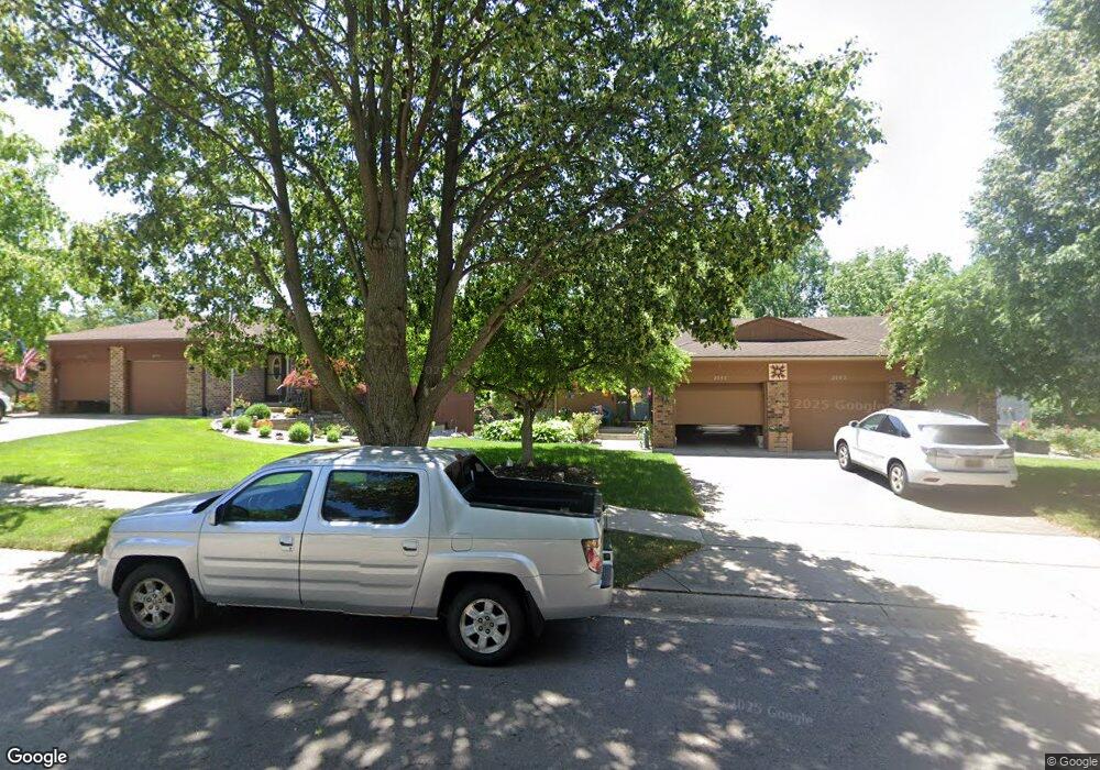
2094 Cranbrook Dr NE Unit 53 Grand Rapids, MI 49505
North East Citizens Action NeighborhoodEstimated Value: $257,000 - $337,000
2
Beds
2
Baths
1,841
Sq Ft
$153/Sq Ft
Est. Value
About This Home
This home is located at 2094 Cranbrook Dr NE Unit 53, Grand Rapids, MI 49505 and is currently estimated at $281,146, approximately $152 per square foot. 2094 Cranbrook Dr NE Unit 53 is a home located in Kent County with nearby schools including Kent Hills School, Riverside Middle School, and Union High School.
Ownership History
Date
Name
Owned For
Owner Type
Purchase Details
Closed on
Oct 21, 2022
Sold by
Doyle George B and Doyle Carol A
Bought by
Doyle George B and Doyle Carol A
Current Estimated Value
Purchase Details
Closed on
Nov 24, 2012
Sold by
Doyle George B and Doyle Carol A
Bought by
Doyle George B and Doyle Carol A
Purchase Details
Closed on
Jan 7, 2011
Sold by
The Everhardt J Katerberg Trust
Bought by
Doyle George Bernard and Doyle Carol Ann
Home Financials for this Owner
Home Financials are based on the most recent Mortgage that was taken out on this home.
Original Mortgage
$80,000
Interest Rate
4.53%
Mortgage Type
New Conventional
Purchase Details
Closed on
Feb 17, 1997
Sold by
Ktrbrg Ktrbrg and Ktrbrg Ts
Bought by
Katerberg Ts and Doyle George B Carol Revoc Tru
Create a Home Valuation Report for This Property
The Home Valuation Report is an in-depth analysis detailing your home's value as well as a comparison with similar homes in the area
Home Values in the Area
Average Home Value in this Area
Purchase History
| Date | Buyer | Sale Price | Title Company |
|---|---|---|---|
| Doyle George B | -- | None Listed On Document | |
| Doyle George B | -- | -- | |
| Doyle George B | -- | None Available | |
| Doyle George Bernard | $100,000 | Ppr Title Agency | |
| Katerberg Ts | -- | -- |
Source: Public Records
Mortgage History
| Date | Status | Borrower | Loan Amount |
|---|---|---|---|
| Previous Owner | Doyle George Bernard | $80,000 |
Source: Public Records
Tax History Compared to Growth
Tax History
| Year | Tax Paid | Tax Assessment Tax Assessment Total Assessment is a certain percentage of the fair market value that is determined by local assessors to be the total taxable value of land and additions on the property. | Land | Improvement |
|---|---|---|---|---|
| 2025 | $1,956 | $127,500 | $0 | $0 |
| 2024 | $1,956 | $124,900 | $0 | $0 |
| 2023 | $1,873 | $91,000 | $0 | $0 |
| 2022 | $1,884 | $89,500 | $0 | $0 |
| 2021 | $1,842 | $87,400 | $0 | $0 |
| 2020 | $1,805 | $83,600 | $0 | $0 |
| 2019 | $1,889 | $80,600 | $0 | $0 |
| 2018 | $1,825 | $70,600 | $0 | $0 |
| 2017 | $1,778 | $57,200 | $0 | $0 |
| 2016 | $1,755 | $51,500 | $0 | $0 |
| 2015 | $1,632 | $51,500 | $0 | $0 |
| 2013 | -- | $48,000 | $0 | $0 |
Source: Public Records
Map
Nearby Homes
- 2098 Cranbrook Dr NE Unit 51
- 1250 Walwood Dr NE
- 1261 Banbury Ave NE
- 1336 Banbury Ave NE
- 1420 Worcester Dr NE
- 2151 Chelsea Rd NE
- 2353 Midvale St NE
- 1410 Rothbury Dr NE
- 2225 Watertown Way
- 2223 Watertown Way
- 2229 Watertown Way
- 2275 Watertown Way
- 2243 Watertown Way
- 2269 Watertown Way
- 1010 Cherrywood Ln NE
- 2351 Watertown Way Unit 6
- 1659 Mason St NE
- 1455 Ball Ave NE
- 1250 Mayfield Ave NE
- 1539 Mason St NE
- 2096 Cranbrook Dr NE
- 2096 Cranbrook Dr NE Unit 52
- 2100 Cranbrook Dr NE
- 2100 Cranbrook Dr NE Unit 50
- 2108 Cranbrook Dr NE Unit 47
- 2110 Cranbrook Dr NE Unit 46
- 2090 Cranbrook Dr NE Unit 55
- 2092 Cranbrook Dr NE
- 2088 Cranbrook Dr NE Unit 56
- 2106 Cranbrook Dr NE Unit 48
- 2106 Cranbrook Dr NE
- 2106 Cranbrook Dr NE
- 2106 Cranbrook Dr NE
- 2082 Cranbrook Dr NE
- 2104 Cranbrook Dr NE Unit 49
- 2074 Cranbrook Dr NE
- 2074 Cranbrook Dr NE Unit 16
- 2068 Cranbrook Dr NE
- 2068 Cranbrook Dr NE Unit 17
- 2116 Cranbrook Dr NE