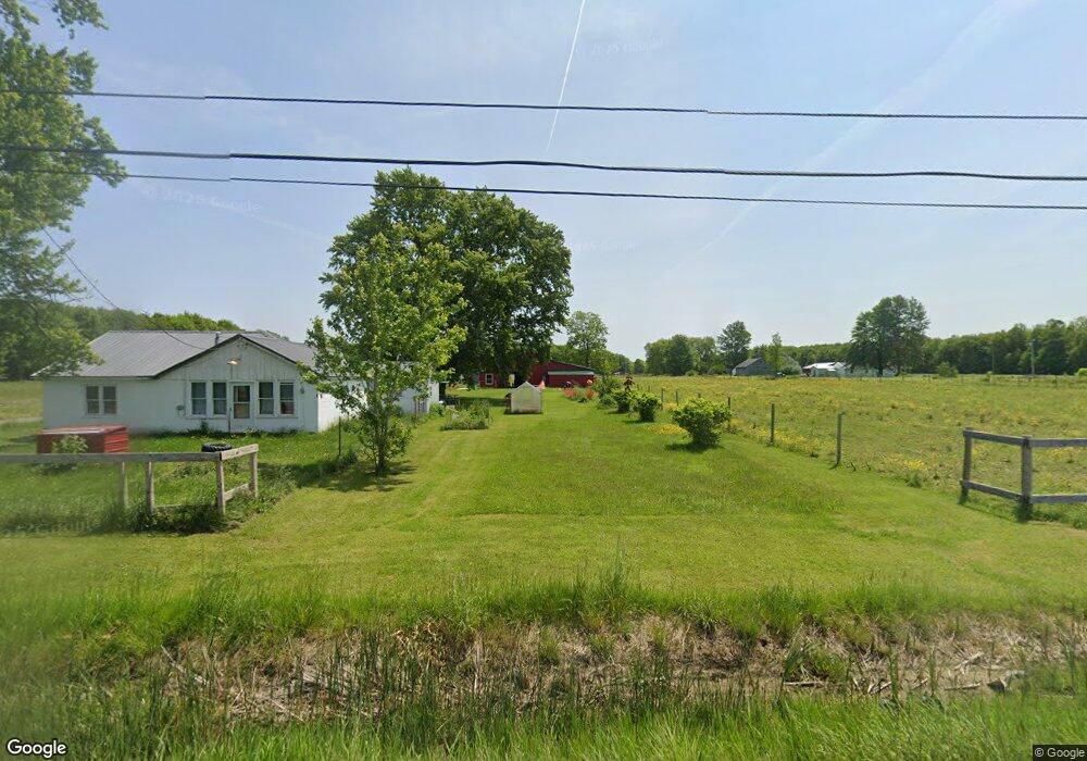
2094 State Route 7 N Pierpont, OH 44082
Estimated Value: $170,000 - $275,000
2
Beds
1
Bath
1,084
Sq Ft
$195/Sq Ft
Est. Value
About This Home
This home is located at 2094 State Route 7 N, Pierpont, OH 44082 and is currently estimated at $211,154, approximately $194 per square foot. 2094 State Route 7 N is a home located in Ashtabula County with nearby schools including Kingsville Elementary School, Ridgeview Elementary School, and Wallace H. Braden Junior High School.
Ownership History
Date
Name
Owned For
Owner Type
Purchase Details
Closed on
Jun 24, 2019
Sold by
Carr Norma M
Bought by
Miller David M and Miller Rachel L
Current Estimated Value
Home Financials for this Owner
Home Financials are based on the most recent Mortgage that was taken out on this home.
Original Mortgage
$79,200
Outstanding Balance
$69,636
Interest Rate
4.1%
Mortgage Type
New Conventional
Estimated Equity
$141,518
Purchase Details
Closed on
Apr 1, 2019
Sold by
Carr Norma M and Riegel Barbara
Bought by
Carr Norma M
Create a Home Valuation Report for This Property
The Home Valuation Report is an in-depth analysis detailing your home's value as well as a comparison with similar homes in the area
Home Values in the Area
Average Home Value in this Area
Purchase History
| Date | Buyer | Sale Price | Title Company |
|---|---|---|---|
| Miller David M | $99,000 | Chicago Title | |
| Carr Norma M | -- | None Available |
Source: Public Records
Mortgage History
| Date | Status | Borrower | Loan Amount |
|---|---|---|---|
| Open | Miller David M | $79,200 |
Source: Public Records
Tax History Compared to Growth
Tax History
| Year | Tax Paid | Tax Assessment Tax Assessment Total Assessment is a certain percentage of the fair market value that is determined by local assessors to be the total taxable value of land and additions on the property. | Land | Improvement |
|---|---|---|---|---|
| 2024 | $2,723 | $45,510 | $35,740 | $9,770 |
| 2023 | $2,040 | $45,510 | $35,740 | $9,770 |
| 2022 | $1,678 | $34,480 | $27,510 | $6,970 |
| 2021 | $1,747 | $34,480 | $27,510 | $6,970 |
| 2020 | $1,749 | $34,480 | $27,510 | $6,970 |
| 2019 | $1,458 | $37,530 | $26,850 | $10,680 |
| 2018 | $1,142 | $31,960 | $21,280 | $10,680 |
| 2017 | $269 | $31,960 | $21,280 | $10,680 |
| 2016 | $1,057 | $31,010 | $20,440 | $10,570 |
| 2015 | $1,037 | $31,010 | $20,440 | $10,570 |
| 2014 | $985 | $31,010 | $20,440 | $10,570 |
| 2013 | $948 | $29,300 | $16,770 | $12,530 |
Source: Public Records
Map
Nearby Homes
- 0 Middle Rd
- 5011 Beckwith Rd
- 1148 Lewis Rd
- 0 Lewis Rd
- 2608 Stanhope Kelloggsville Rd
- 350 Ohio 7
- 5024 Hilldom Rd
- 0 Root Rd
- 627 State Line Rd
- 2342 & 2412 Artman Rd
- 5719 N Richmond Rd
- 6174 US Route 6
- 0 Steamburg Rd
- V/L State Route 167
- 5051 Center Rd
- 3037 Philadelphia Rd
- 5958 Weaver Rd
- 6232 Weaver Rd
- 6421 Weaver Rd
- 6590 Hall Rd
- 2094 Ohio 7
- 5953 Graham Rd
- 0 Graham Rd
- 2138 State Route 7 N
- 2022 State Route 7 N
- 5991 Graham Rd
- 1999 State Route 7 N
- 1957 Ohio 7
- 1957 State Route 7 N
- 6131 Graham Rd
- 1888 State Route 7 N
- 5730 Graham Rd
- 5950 Beckwith Rd
- 2287 State Route 7 N
- 5686 Graham Rd
- 5860 Beckwith Rd
- 2350 State Route 7 N
- 5655 Graham Rd
- 5848 Beckwith Rd
- 5802 Beckwith Rd