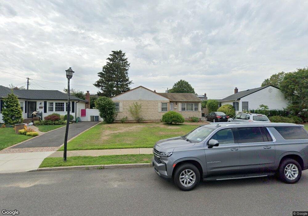
2094 Stirrup Path Seaford, NY 11783
Estimated Value: $701,000 - $753,461
Studio
1
Bath
1,444
Sq Ft
$504/Sq Ft
Est. Value
About This Home
This home is located at 2094 Stirrup Path, Seaford, NY 11783 and is currently estimated at $727,231, approximately $503 per square foot. 2094 Stirrup Path is a home located in Nassau County with nearby schools including Seaford Middle School, Seaford Senior High School, and St. William the Abbot School.
Ownership History
Date
Name
Owned For
Owner Type
Purchase Details
Closed on
Jan 31, 2011
Sold by
Larocca Maria
Bought by
Noonan Brian M and Noonan Regina C
Current Estimated Value
Home Financials for this Owner
Home Financials are based on the most recent Mortgage that was taken out on this home.
Original Mortgage
$307,040
Interest Rate
3.93%
Mortgage Type
FHA
Create a Home Valuation Report for This Property
The Home Valuation Report is an in-depth analysis detailing your home's value as well as a comparison with similar homes in the area
Home Values in the Area
Average Home Value in this Area
Purchase History
| Date | Buyer | Sale Price | Title Company |
|---|---|---|---|
| Noonan Brian M | $320,000 | -- |
Source: Public Records
Mortgage History
| Date | Status | Borrower | Loan Amount |
|---|---|---|---|
| Previous Owner | Noonan Brian M | $307,040 |
Source: Public Records
Tax History
| Year | Tax Paid | Tax Assessment Tax Assessment Total Assessment is a certain percentage of the fair market value that is determined by local assessors to be the total taxable value of land and additions on the property. | Land | Improvement |
|---|---|---|---|---|
| 2025 | $13,828 | $506 | $198 | $308 |
| 2024 | $3,658 | $506 | $198 | $308 |
| 2023 | $12,728 | $506 | $198 | $308 |
| 2022 | $12,728 | $506 | $198 | $308 |
| 2021 | $17,299 | $496 | $194 | $302 |
| 2020 | $12,458 | $739 | $536 | $203 |
| 2019 | $11,969 | $905 | $656 | $249 |
| 2018 | $14,098 | $905 | $0 | $0 |
| 2017 | $8,697 | $905 | $656 | $249 |
| 2016 | $12,648 | $905 | $656 | $249 |
| 2015 | $3,688 | $905 | $656 | $249 |
| 2014 | $3,688 | $905 | $656 | $249 |
| 2013 | $3,405 | $891 | $656 | $235 |
Source: Public Records
Map
Nearby Homes
- 28 Spring Dr
- 3610 Locust Ave
- 3532 Waverly Ave
- 3589 Naomi Place
- 2162 Seamans Neck Rd
- 2191 Walsall St
- 3861 Wilburne Ave
- 2327 Mattituck Ave
- 2089 Beech St
- 2303 Pine St
- 2359 Spruce St
- 2349 S Seamans Neck Rd
- 2097 Washington Ave
- 1769 Jane St
- 3806 Tiana St
- 3860 Hudson Ave
- 2125 North Dr
- 3268 Jackson Ave
- 2432 Aron Dr N
- 3495 Roanoke St
- 2100 Stirrup Path
- 2090 Stirrup Path
- 2139 Saddle Path
- 2129 Saddle Path
- 2145 Saddle Path
- 20 Stirrup Path
- 2121 Saddle Path
- 2112 Stirrup Path
- 3792 Locust Ave
- 2091 Stirrup Path
- 2099 Stirrup Path
- 2159 Saddle Path
- 2111 Saddle Path
- 2084 Stirrup Path
- 2111 Stirrup Path
- 2085 Stirrup Path
- 2105 Saddle Path
- 2078 Stirrup Path
- 3770 Locust Ave
- 2140 Saddle Path
Your Personal Tour Guide
Ask me questions while you tour the home.