20943 Furr Rd Round Hill, VA 20141
Estimated Value: $639,000 - $1,339,000
4
Beds
4
Baths
2,739
Sq Ft
$344/Sq Ft
Est. Value
About This Home
This home is located at 20943 Furr Rd, Round Hill, VA 20141 and is currently estimated at $942,176, approximately $343 per square foot. 20943 Furr Rd is a home located in Loudoun County with nearby schools including Banneker Elementary School, Blue Ridge Middle School, and Loudoun Valley High School.
Ownership History
Date
Name
Owned For
Owner Type
Purchase Details
Closed on
Apr 25, 2024
Sold by
Christopher R Burnham Revocable Living T and Burnham Christopher R
Bought by
Christopher R Burnham Revocable Living Trust and Margaret E H Burnham Revocable Living Trust
Current Estimated Value
Purchase Details
Closed on
Oct 30, 1996
Sold by
Nalls Edith R
Bought by
Burnham Christopher R and Burnham Margaret H
Home Financials for this Owner
Home Financials are based on the most recent Mortgage that was taken out on this home.
Original Mortgage
$158,600
Interest Rate
8.07%
Mortgage Type
FHA
Create a Home Valuation Report for This Property
The Home Valuation Report is an in-depth analysis detailing your home's value as well as a comparison with similar homes in the area
Home Values in the Area
Average Home Value in this Area
Purchase History
| Date | Buyer | Sale Price | Title Company |
|---|---|---|---|
| Christopher R Burnham Revocable Living Trust | -- | None Listed On Document | |
| Burnham Christopher R | $164,000 | -- |
Source: Public Records
Mortgage History
| Date | Status | Borrower | Loan Amount |
|---|---|---|---|
| Previous Owner | Burnham Christopher R | $158,600 |
Source: Public Records
Tax History Compared to Growth
Tax History
| Year | Tax Paid | Tax Assessment Tax Assessment Total Assessment is a certain percentage of the fair market value that is determined by local assessors to be the total taxable value of land and additions on the property. | Land | Improvement |
|---|---|---|---|---|
| 2025 | $6,238 | $774,890 | $308,000 | $466,890 |
| 2024 | $6,666 | $770,640 | $263,500 | $507,140 |
| 2023 | $6,606 | $754,980 | $248,500 | $506,480 |
| 2022 | $5,991 | $673,180 | $208,500 | $464,680 |
| 2021 | $4,319 | $440,690 | $188,500 | $252,190 |
| 2020 | $4,512 | $435,960 | $188,500 | $247,460 |
| 2019 | $4,502 | $430,820 | $188,500 | $242,320 |
| 2018 | $4,596 | $423,630 | $188,500 | $235,130 |
| 2017 | $4,444 | $394,990 | $188,500 | $206,490 |
| 2016 | $4,535 | $396,030 | $0 | $0 |
| 2015 | $4,281 | $188,700 | $0 | $188,700 |
| 2014 | $4,271 | $173,610 | $0 | $173,610 |
Source: Public Records
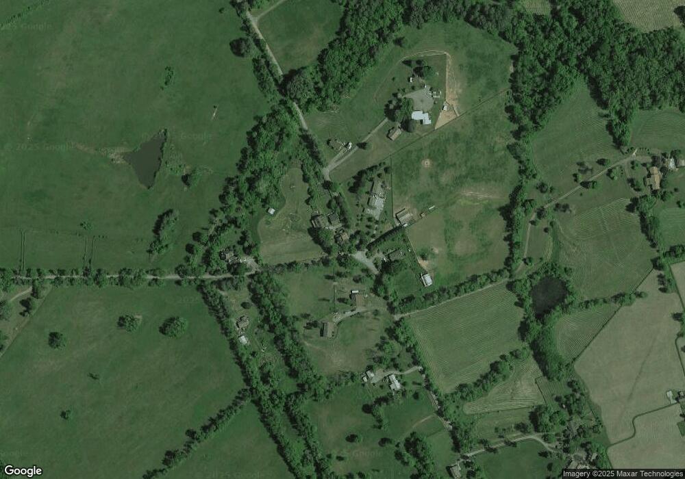
Map
Nearby Homes
- 0 Christmas Tree Ln
- 0 Saint Louis Rd
- 20596 Airmont Rd
- 0 St Louis Rd Unit VALO2092370
- 0 St Louis Rd Unit VALO2092362
- 20209 St Louis Rd
- 20960 Beaverdam Bridge Rd
- 36155 Chamblin Mill Ln
- 22379 Cavalry Heights Cir
- 19935 Foggy Bottom Rd
- 33900 Austin Grove Rd
- 36789 Snickersville Turnpike
- 33692 Austin Grove Rd
- 19798 Foggy Bottom Rd
- 35771 Snake Hill Rd
- 34321 Foxwood Ln
- 37116 Snickersville Turnpike
- 35632 Snickersville Turnpike
- 35162 Notre Dame Ln
- 36775 Leith Ln
- 35066 Bloomfield Rd
- 20954 Furr Rd
- 35075 Bloomfield Rd
- 35008 Bloomfield Rd
- 35005 Bloomfield Rd
- 35091 Bloomfield Rd
- 20926 Furr Rd
- 35113 Bloomfield Rd
- 20852 Furr Rd
- 35121 Bloomfield Rd
- 35112 Bloomfield Rd
- 35080 Bloomfield Rd
- 35108 Bloomfield Rd
- 21091 Unison Rd
- 21111 Unison Rd
- 21035 Unison Rd
- 34933 Bloomfield Rd
- 21092 Unison Rd
- 21088 Unison Rd
- 21081 Unison Rd