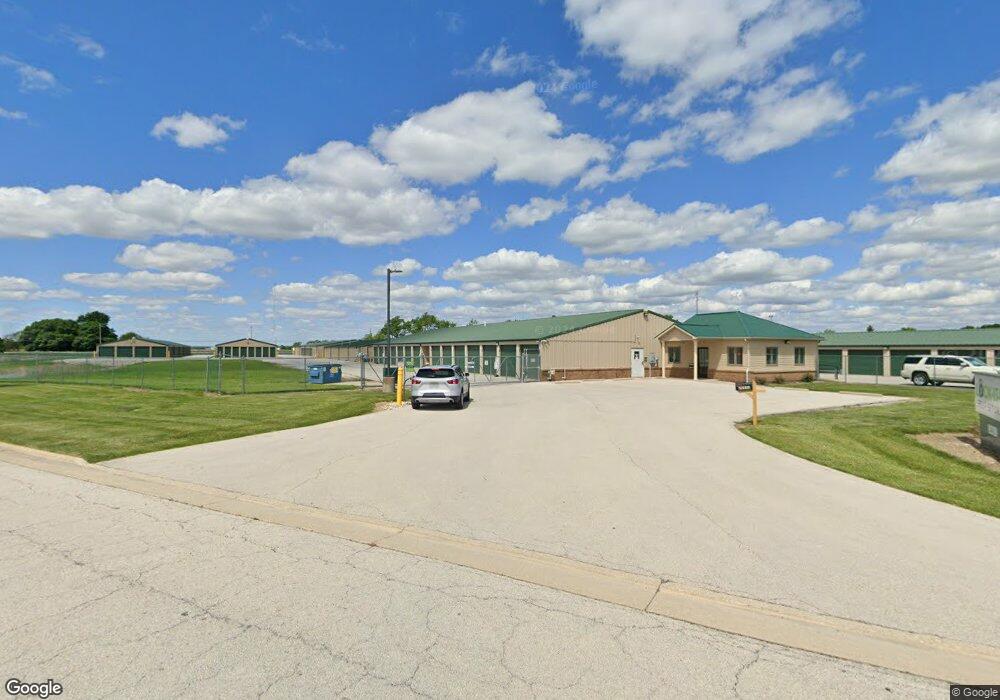
20945 Midstar Dr Bowling Green, OH 43402
--
Bed
--
Bath
55,276
Sq Ft
5
Acres
About This Home
This home is located at 20945 Midstar Dr, Bowling Green, OH 43402. 20945 Midstar Dr is a home located in Wood County with nearby schools including Pemberville Elementary School, Eastwood Middle School, and Eastwood High School.
Ownership History
Date
Name
Owned For
Owner Type
Purchase Details
Closed on
Dec 18, 2015
Sold by
Safe Stuff Enterprises Llc
Bought by
Lock It Up Llc
Home Financials for this Owner
Home Financials are based on the most recent Mortgage that was taken out on this home.
Original Mortgage
$1,389,000
Outstanding Balance
$1,098,827
Interest Rate
3.88%
Mortgage Type
Future Advance Clause Open End Mortgage
Purchase Details
Closed on
Oct 19, 2005
Sold by
West Wooster Ltd
Bought by
Safe Stuff Enterprises Llc
Home Financials for this Owner
Home Financials are based on the most recent Mortgage that was taken out on this home.
Original Mortgage
$680,000
Interest Rate
5.82%
Mortgage Type
Commercial
Create a Home Valuation Report for This Property
The Home Valuation Report is an in-depth analysis detailing your home's value as well as a comparison with similar homes in the area
Home Values in the Area
Average Home Value in this Area
Purchase History
| Date | Buyer | Sale Price | Title Company |
|---|---|---|---|
| Lock It Up Llc | $975,000 | Attorney | |
| Safe Stuff Enterprises Llc | $225,000 | American Title Agency |
Source: Public Records
Mortgage History
| Date | Status | Borrower | Loan Amount |
|---|---|---|---|
| Open | Lock It Up Llc | $1,389,000 | |
| Previous Owner | Safe Stuff Enterprises Llc | $680,000 |
Source: Public Records
Tax History Compared to Growth
Tax History
| Year | Tax Paid | Tax Assessment Tax Assessment Total Assessment is a certain percentage of the fair market value that is determined by local assessors to be the total taxable value of land and additions on the property. | Land | Improvement |
|---|---|---|---|---|
| 2024 | $34,998 | $703,255 | $91,875 | $611,380 |
| 2023 | $34,998 | $703,260 | $91,880 | $611,380 |
| 2021 | $30,484 | $573,020 | $87,500 | $485,520 |
| 2020 | $26,525 | $492,030 | $87,500 | $404,530 |
| 2019 | $26,734 | $492,030 | $87,500 | $404,530 |
| 2018 | $26,799 | $492,030 | $87,500 | $404,530 |
| 2017 | $12,997 | $313,080 | $87,500 | $225,580 |
| 2016 | $9,052 | $169,510 | $70,000 | $99,510 |
| 2015 | $9,052 | $169,510 | $70,000 | $99,510 |
| 2014 | $9,993 | $169,510 | $70,000 | $99,510 |
| 2013 | $10,306 | $169,510 | $70,000 | $99,510 |
Source: Public Records
Map
Nearby Homes
- 19877 N Dixie Hwy
- 0 King Rd Unit 10000333
- 11232 Elm St
- 0 Elm St
- 0 Sugar Ridge
- 11628 Sugar Ridge Rd
- 10492 Dowling Rd
- 104 E Main St
- 4911 Prestonwood Rd
- 109 High St
- 1810 Wicklow Dr
- 4956 Prestonwood Rd
- 1723 Wexford
- Canterbury Plan at Northwest Ohio Collection
- 24557 W 3rd St
- 24537 W 3rd St
- Limerick Plan at Northwest Ohio Collection
- Oleander Plan at Northwest Ohio Collection
- Barcelona Plan at Northwest Ohio Collection
- 24577 W 3rd St
- 20997 N Dixie Hwy
- 13090 Middleton Pike
- 21108 N Dixie Hwy
- 20765 N Dixie Hwy
- 21154 N Dixie Hwy
- 20672 N Dixie Hwy
- 21186 N Dixie Hwy
- 20667 N Dixie Hwy
- 20755 N Dixie Hwy
- 12711 Middleton Pike
- 20619 N Dixie Hwy
- 20691 N Dixie Hwy
- 20719 N Dixie Hwy
- 13212 Middleton Pike
- 20601 N Dixie Hwy
- 21292 N Dixie Hwy
- 20575 N Dixie Hwy
- 13244 Middleton Pike
- 20737 N Dixie Hwy
- 20541 N Dixie Hwy