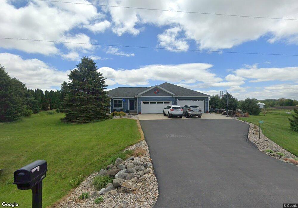
2095 Branch Rd Sun Prairie, WI 53590
Estimated Value: $523,716 - $574,000
--
Bed
--
Bath
--
Sq Ft
2
Acres
About This Home
This home is located at 2095 Branch Rd, Sun Prairie, WI 53590 and is currently estimated at $555,905. 2095 Branch Rd is a home located in Dane County with nearby schools including Token Springs Elementary, Sun Prairie East High School, and Central Heights Middle School.
Ownership History
Date
Name
Owned For
Owner Type
Purchase Details
Closed on
Jun 17, 2010
Sold by
Trow James M
Bought by
Everson Ashley S and Everson Daniel J
Current Estimated Value
Home Financials for this Owner
Home Financials are based on the most recent Mortgage that was taken out on this home.
Original Mortgage
$168,000
Outstanding Balance
$113,035
Interest Rate
5.05%
Mortgage Type
New Conventional
Estimated Equity
$442,870
Create a Home Valuation Report for This Property
The Home Valuation Report is an in-depth analysis detailing your home's value as well as a comparison with similar homes in the area
Home Values in the Area
Average Home Value in this Area
Purchase History
| Date | Buyer | Sale Price | Title Company |
|---|---|---|---|
| Everson Ashley S | $210,000 | Dane County Title Company |
Source: Public Records
Mortgage History
| Date | Status | Borrower | Loan Amount |
|---|---|---|---|
| Open | Everson Ashley S | $168,000 |
Source: Public Records
Tax History Compared to Growth
Tax History
| Year | Tax Paid | Tax Assessment Tax Assessment Total Assessment is a certain percentage of the fair market value that is determined by local assessors to be the total taxable value of land and additions on the property. | Land | Improvement |
|---|---|---|---|---|
| 2024 | $6,604 | $484,800 | $97,900 | $386,900 |
| 2023 | $6,001 | $484,700 | $97,800 | $386,900 |
| 2021 | $4,834 | $279,600 | $68,600 | $211,000 |
| 2020 | $5,257 | $279,600 | $68,600 | $211,000 |
| 2019 | $5,137 | $279,600 | $68,600 | $211,000 |
| 2018 | $4,606 | $279,600 | $68,600 | $211,000 |
| 2017 | $4,486 | $279,600 | $68,600 | $211,000 |
| 2016 | $4,539 | $279,600 | $68,600 | $211,000 |
| 2015 | $3,542 | $224,100 | $68,600 | $155,500 |
| 2014 | $3,450 | $229,500 | $86,800 | $142,700 |
| 2013 | $3,727 | $229,500 | $86,800 | $142,700 |
Source: Public Records
Map
Nearby Homes
- 0 Twin Lane Rd
- 6707 Twin Lane Rd
- 7185 Elder Ln
- 7191 Elder Ln Unit 1
- 805 Progress Way
- Lots 1 & 2 Twin Lane Rd
- Lot 2 Twin Lane Rd
- Lot 1 Twin Lane Rd
- 92.93 M/L Acres Twin Lane Rd
- 6848 Moonlight Cir
- 1441 Prairie Rose Dr
- LOT 2 Ridgeway Cir
- 0 Ridgeway Cir
- 1323 Prairie Rose Dr
- 2000 Columbus St
- Phase 2 Lots Town Hall Dr
- 900 Woodview Dr
- 6835 Angelica Trail
- L10 Karolina Way
- L1 CSM 15650 Happy Valley Rd
- 2085 Branch Rd
- 2075 Branch Rd
- 2075 E Branch Rd
- 6925 Elder Ln
- 2065 Branch Rd
- 6875 Elder Ln
- 6957 Elder Ln
- 6853 Elder Ln
- 2178 Branch Rd
- 2181 E Branch Rd Unit 2181 Branch Rd
- 2182 Branch Rd
- 1984 E Branch Rd
- 6837 Elder Ln
- 2192 Branch Rd
- 1980 E Branch
- 1980 E Branch Rd
- 0 Elder Ln Unit 1516937
- 0 Elder Ln Unit 1557592
- 0 Elder Ln Unit 1700910
- 0 Elder Ln Unit 1700892